-

Winchester and Potomac Railroad Company
Price range: $39.95 through $69.95 -
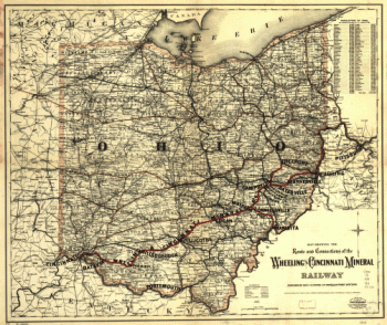
Wheeling and Cincinnati Mineral Railway
Price range: $39.95 through $69.95 -
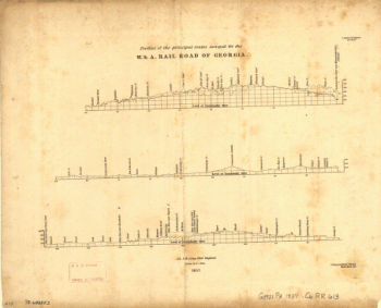
Western and Atlantic Railroad Company
Price range: $39.95 through $69.95 -
Western and Atlantic Railroad Company
Price range: $39.95 through $69.95 -
Western and Atlantic Railroad Company
Price range: $39.95 through $69.95 -
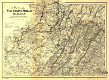
West Virginia Midland Railroad
Price range: $39.95 through $69.95 -
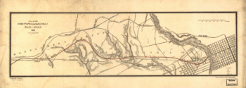
West Philadelphia Rail Road Company
Price range: $39.95 through $69.95 -
West Philadelphia Rail Road Company
Price range: $39.95 through $69.95 -
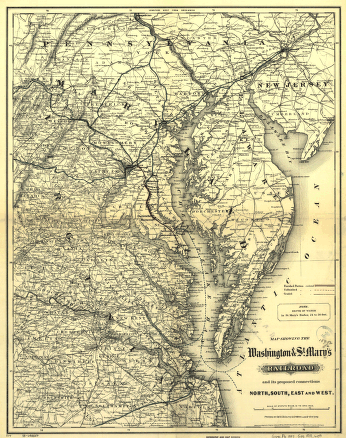
Washington and St
Price range: $39.95 through $69.95 -
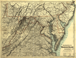
Washington and Atlantic Railroad
Price range: $39.95 through $69.95 -
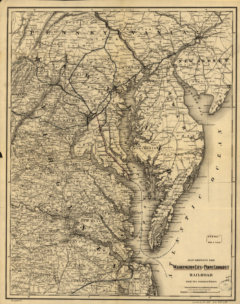
Washington City and Point Lookout Railroad
Price range: $39.95 through $69.95 -
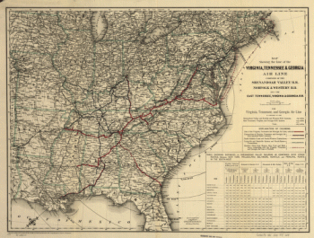
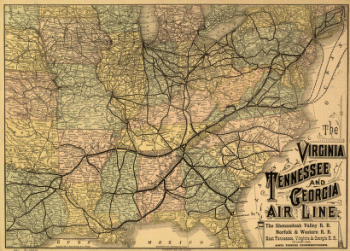
Virginia, Tennessee, and Georgia Air Line Railroad
Price range: $39.95 through $69.95 -
Virginia, Tennessee, and Georgia Air Line Railroad
Price range: $39.95 through $69.95 -
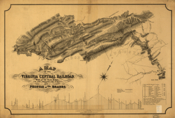
Virginia Central Railroad Company
Price range: $39.95 through $69.95 -
Virginia Central Railroad Company
Price range: $39.95 through $69.95 -
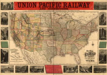
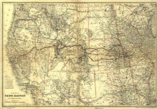
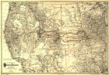
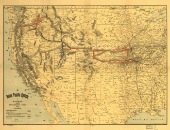
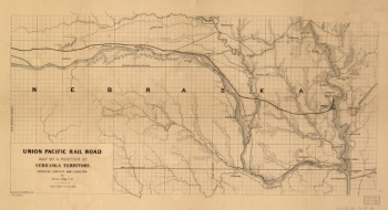
Union Pacific Railway Company
Price range: $39.95 through $69.95 -
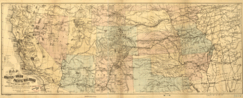
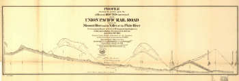
Union Pacific Railway Company
Price range: $39.95 through $69.95 -
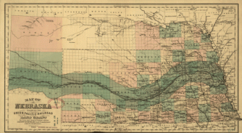
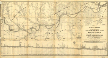
Union Pacific Railway Company
Price range: $39.95 through $69.95 -
Union Pacific Railway Company
Price range: $39.95 through $69.95 -
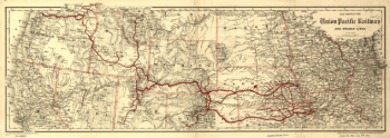
Union Pacific Railroad Company
Price range: $39.95 through $69.95 -
Union Pacific Railroad Company
Price range: $39.95 through $69.95 -
Union Pacific Railroad Company
Price range: $39.95 through $69.95 -
Union Pacific Railroad Company
Price range: $39.95 through $69.95 -
Union Pacific Railroad Company
Price range: $39.95 through $69.95 -
Union Pacific Railroad Company
Price range: $39.95 through $69.95 -
Union Pacific Railroad Company
Price range: $39.95 through $69.95 -
Union Pacific Railroad Company
Price range: $39.95 through $69.95 -
Union Pacific Railroad Company
Price range: $39.95 through $69.95 -
Union Pacific Railroad Company
Price range: $39.95 through $69.95 -
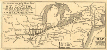
Toledo, Wabash, and Great Western Railroad
Price range: $39.95 through $69.95 -
Toledo, Wabash, and Great Western Railroad
Price range: $39.95 through $69.95 -
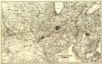
Toledo, Cincinnati, and St
Price range: $39.95 through $69.95 -
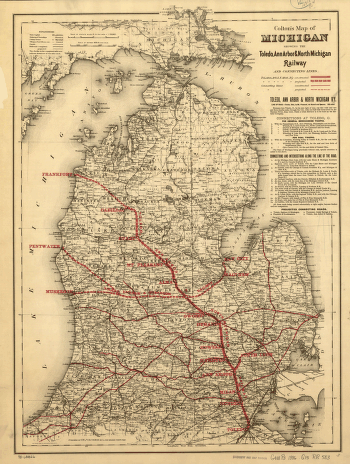
Toledo, Ann Arbor, and North Michigan Railway Company
Price range: $39.95 through $69.95 -
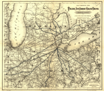
Toledo, Ann Arbor, and Grand Truck Railway
Price range: $39.95 through $69.95 -
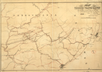
Through Traffic Railway
Price range: $39.95 through $69.95 -
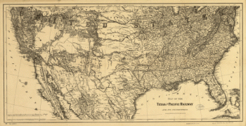
Texas & Pacific Railway
Price range: $39.95 through $69.95 -
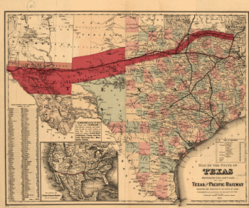
Texas & Pacific Railway
Price range: $39.95 through $69.95 -
Terre Haute and Richmond Railroad
Price range: $39.95 through $69.95 -
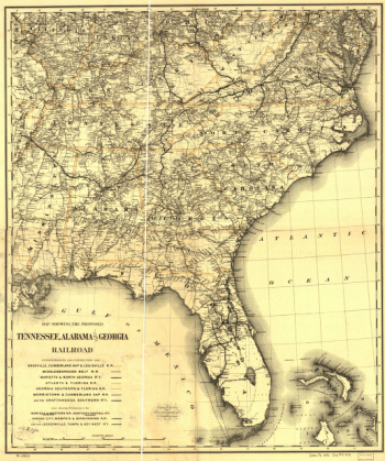
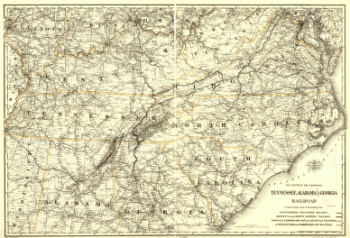
Tennessee, Alabama, and Georgia Railroad
Price range: $39.95 through $69.95 -
Tennessee, Alabama, and Georgia Railroad
Price range: $39.95 through $69.95 -
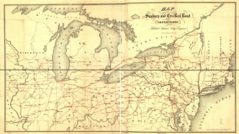
Sunbury and Erie Rail Road Company
Price range: $39.95 through $69.95 -
Sunbury and Erie Rail Road Company
Price range: $39.95 through $69.95 -
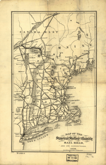
Stanstead, Shefford, and Chambly Railroad
Price range: $39.95 through $69.95 -
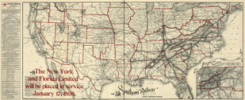
Southern Railway
Price range: $39.95 through $69.95 -
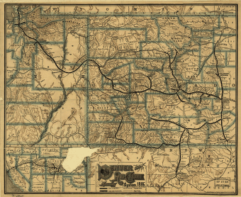
Denver and Rio Grande Railway Company
Price range: $39.95 through $69.95 -
East Tennessee, Virginia, and Georgia Railroad Company
Price range: $39.95 through $69.95 -
Eastern Kentucky Railroad
Price range: $39.95 through $69.95 -
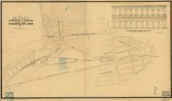
Fitchburg Railroad
Price range: $39.95 through $69.95