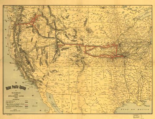
The Union Pacific system of railroad and steamship lines, 1900. Map of the western United States showing relief by hachures, drainage, cities and towns, and the railroad network coded by color. Shows lines as reorganized by Edward H. Harriman after the business depression of 1893. It was incorporated again in 1897 and assumed operation February 1, 1898. Rand McNally and Company. CREATED/PUBLISHED Chicago, 1900. Scale ca. 1:6,000,000.


