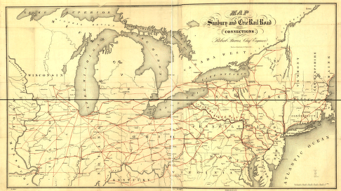
Map of the Sunbury and Erie Rail Road and its connections. Outline map of the northeastern and north-central United States overprinted in red to show the railroad network. Chartered April 3, 1837. Faries, Robert. CREATED/PUBLISHED N[ew] Y[ork], [1850] Scale ca. 1:1,500,000.
Sunbury and Erie Rail Road Company
$17.95 – $47.95
SKU: rrsz25
Related products
-

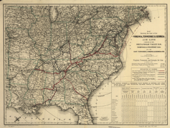
Virginia, Tennessee, and Georgia Air Line Railroad
$17.95 – $47.95 -
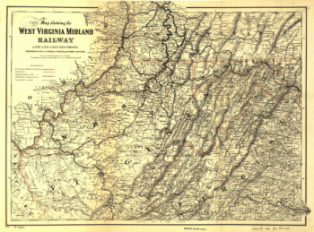
West Virginia Midland Railroad
$17.95 – $47.95 -
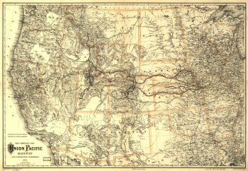
Union Pacific Railway Company
$17.95 – $47.95 -
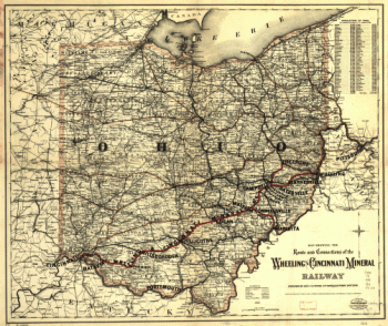
Wheeling and Cincinnati Mineral Railway
$17.95 – $47.95