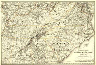
Map showing the proposed Tennessee, Alabama, and Georgia Railroad connecting and extending the Chattanooga Southern Railway, Marietta and North Georgia Railway, Knoxville, Cumberland Gap and Louisville Railroad, and Morristown and Cumberland Gap Railroad. Map of the southern United States showing relief by hachures, drainage, cities and towns, and the railroad network with emphasis on the main lines. G.W. & C.B. Colton & Co. CREATED/PUBLISHED [New York, 1892] Scale 1:1,275,000.


