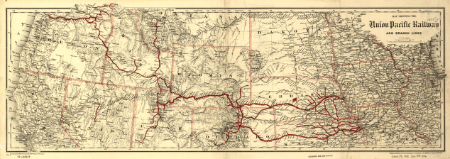
Map showing the Union Pacific Railway and branch lines. Strip map of western United States from Illinois to California showing relief by hachures, drainage, cities and towns, railroads, and the Union Pacific System in red. G.W. & C.B. Colton & Co. CREATED/PUBLISHED New York, 1888. Scale ca. 1,3,800,000.


