-

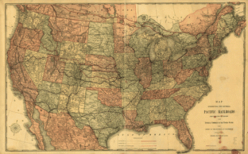
Pacific Railroad
Price range: $39.95 through $69.95 -
Pacific Railroad
Price range: $39.95 through $69.95 -
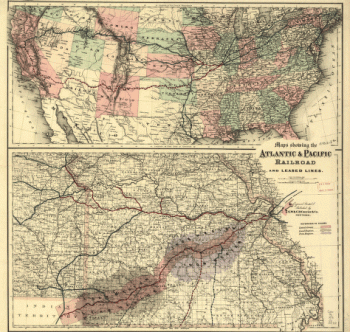
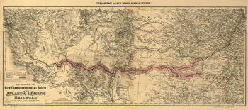
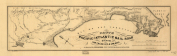
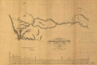
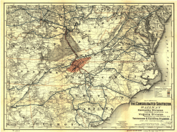
Pacific and Atlantic Railroad
Price range: $39.95 through $69.95 -
Pacific Railroad
Price range: $39.95 through $69.95 -
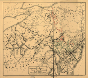
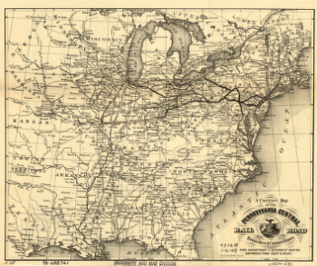
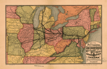
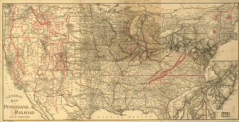
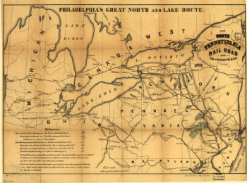
Pennsylvania Railroad
Price range: $39.95 through $69.95 -
Pennsylvania Railroad
Price range: $39.95 through $69.95 -
Pennsylvania Railroad
Price range: $39.95 through $69.95 -
Pennsylvania Railroad
Price range: $39.95 through $69.95 -
Pennsylvania Railroad
Price range: $39.95 through $69.95 -
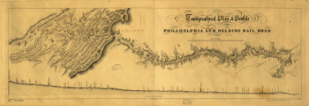
Philadelphia & Reading Railroad Co
Price range: $39.95 through $69.95 -
Philadelphia & Reading Railroad Co
Price range: $39.95 through $69.95 -
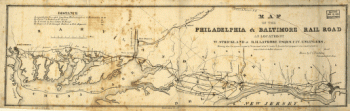
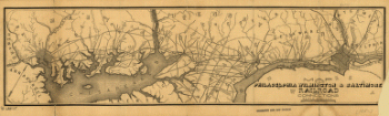
Philadelphia and Baltimore Railroad
Price range: $39.95 through $69.95 -
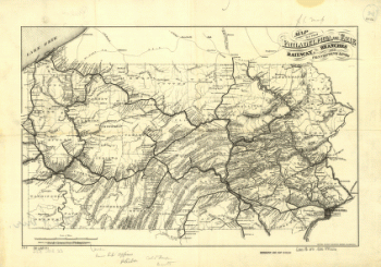
Philadelphia and Erie Railroad
Price range: $39.95 through $69.95 -
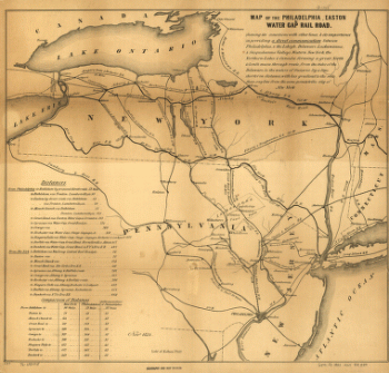
Philadelphia, Easton and Water Gap Railroad Company
Price range: $39.95 through $69.95 -
Philadelphia, Wilmington, and Baltimore Rail Road Company
Price range: $39.95 through $69.95 -
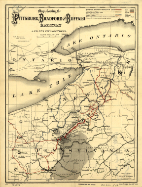
Pittsburgh, Bradford, and Buffalo Railway
Price range: $39.95 through $69.95 -
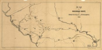
Phoenixville Cornwall Railroad AND Pinegrove Lancaster Railroad
Price range: $39.95 through $69.95 -
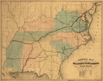
Orange and Alexandria Railroad Company
Price range: $39.95 through $69.95 -
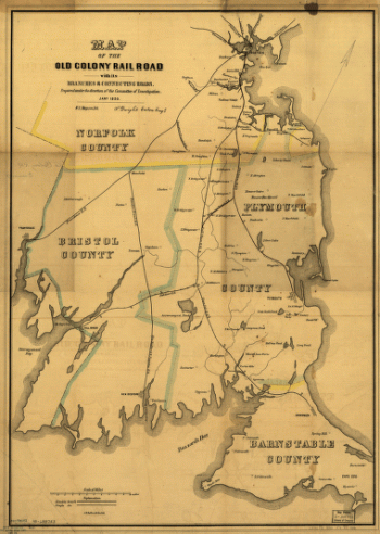
Old Colony Railroad Company
Price range: $39.95 through $69.95 -
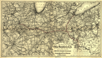
Ohio Southern Railroad
Price range: $39.95 through $69.95 -
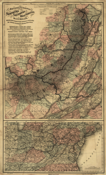
Northern and Southern West Virginia Railroad
Price range: $39.95 through $69.95 -
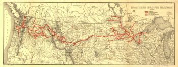
Northern Pacific Railroad Company
Price range: $39.95 through $69.95 -
Northern Pacific Railroad Company
Price range: $39.95 through $69.95 -
Northern Pacific Railroad Company
Price range: $39.95 through $69.95 -
Northern Pacific Railroad Company
Price range: $39.95 through $69.95 -
Northern Pacific Railroad Company
Price range: $39.95 through $69.95 -
North Pennsylvania Railroad Company
Price range: $39.95 through $69.95 -
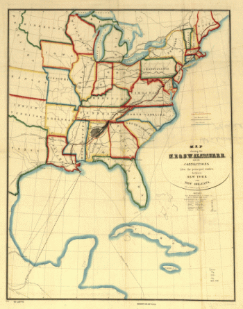
North East and South West Alabama Railroad
Price range: $39.95 through $69.95 -
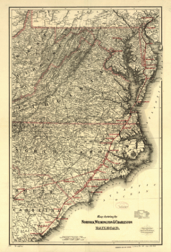
Norfolk, Wilmington, and Charleston Railroad
Price range: $39.95 through $69.95 -
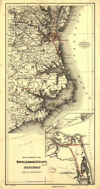
Norfolk, Albermarle, and Atlantic Railroad
Price range: $39.95 through $69.95 -
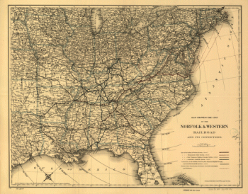
Norfolk and Western Railroad Company
Price range: $39.95 through $69.95 -
Norfolk and Western Railroad Company
Price range: $39.95 through $69.95 -
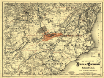
Norfolk and Cincinnati Railroad
Price range: $39.95 through $69.95 -
Norfolk and Cincinnati Railroad
Price range: $39.95 through $69.95 -
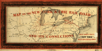
New York and Erie Railroad Company
Price range: $39.95 through $69.95 -
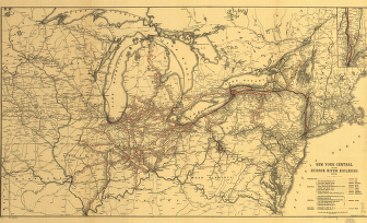
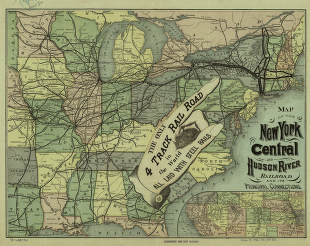
New York Central and Hudson River Railroad Company
Price range: $39.95 through $69.95 -
New York Central and Hudson River Railroad Company
Price range: $39.95 through $69.95 -
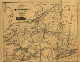
New York & Oswego Midland Railroad
Price range: $39.95 through $69.95 -
New River Railroad Company
Price range: $39.95 through $69.95 -
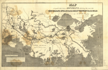
New Orleans, Opelousas, and Great Western Railroad Company
Price range: $39.95 through $69.95 -
New Orleans, Opelousas, and Great Western Railroad Company
Price range: $39.95 through $69.95 -
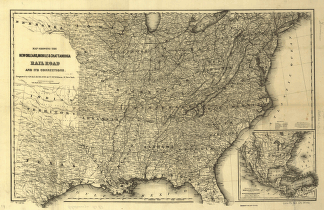
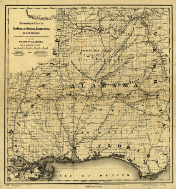
New Orleans, Mobile, and Chattanooga Railroad
Price range: $39.95 through $69.95 -
New Orleans, Mobile, and Chattanooga Railroad
Price range: $39.95 through $69.95 -
New Orleans and Ohio Railroad
Price range: $39.95 through $69.95 -
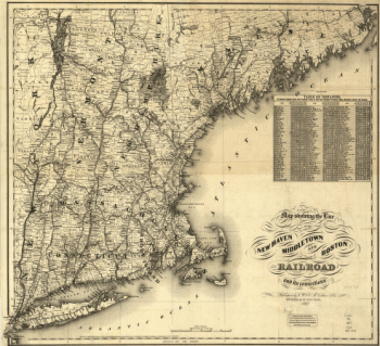
New Haven, Middletown, and Boston Railroad
Price range: $39.95 through $69.95 -
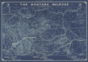
Montana Railroad
Price range: $39.95 through $69.95 -
Mobile and Ohio Railroad Company
Price range: $39.95 through $69.95 -
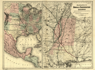
Mobile and Northwestern Railroad Company
Price range: $39.95 through $69.95