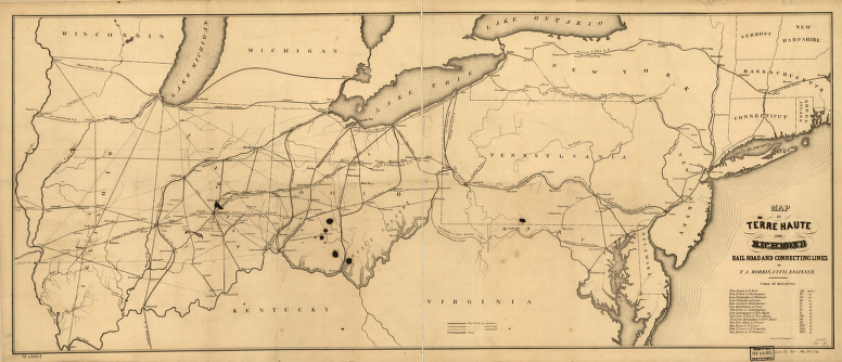
Map of Terre Haute and Richmond Rail Road and connecting lines. Outline map of the north-central and northeastern United States showing the rail network. Chartered in 1847. In 1865 name changed to the Terre Haute and Indianapolis Railroad. Morris, Thomas A. (Thomas Armstrong), 1811-1904. CREATED/PUBLISHED New York, [185-] Scale ca. 1:1,625,000.


