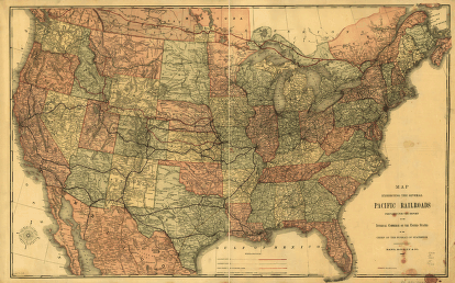
Map exhibiting the several Pacific railroads prepared for the report on the internal commerce of the United States by the Bureau of Statistics. Detailed map of the continental United States indicating drainage, relief by hachures, international and state boundaries, cities & towns, forts, roads, and the railroad network. United States. Dept. of Commerce and Labor. Bureau of Statistics. CREATED/PUBLISHED [Chicago] Rand, McNally & Co., 1883. Scale ca. 1:4,500,000.


