American Indian Maps
-

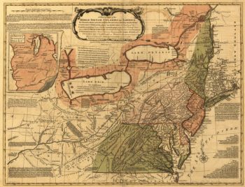
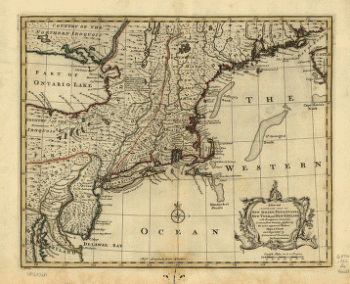
A general map of the middle British colonies in America
Price range: $39.95 through $69.95 -
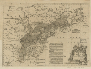
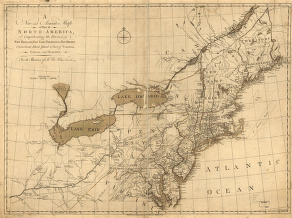
A map of the British and French settlements in North America. J. Lodge
Price range: $39.95 through $69.95 -
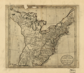
A map of the United States of America agreeable to the peace of 1783
Price range: $39.95 through $69.95 -
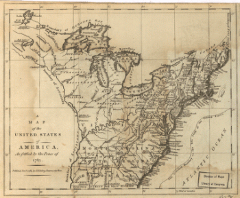
A map of the United States of America, as settled by the peace of 1783
Price range: $39.95 through $69.95 -
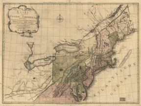
A new and accurate map of New Jersey, Pensilvania, New York and New England with the adjacent countries
Price range: $39.95 through $69.95 -
A new and accurate map of part of North-America
Price range: $39.95 through $69.95 -
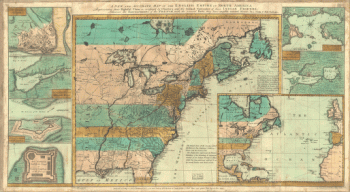
A new and accurate map of the English empire in North America
Price range: $39.95 through $69.95 -
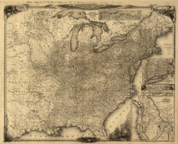
A new map for travelers through the United States of America
Price range: $39.95 through $69.95 -
A plan of the lands in New London
Price range: $39.95 through $69.95 -
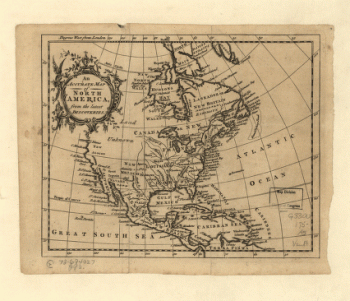
An Accurate map of North America from the latest discoveries
Price range: $39.95 through $69.95 -
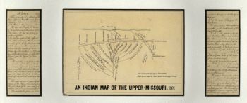
An Indian map of the Upper-Missouri
Price range: $39.95 through $69.95 -
Ardmore, Indian Territory, 1891
Price range: $39.95 through $69.95 -
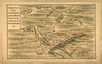
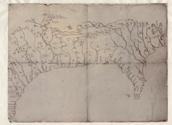
Captain Snow's scetch of the country by himself, and the best accounts he could receive from the Indian traders
Price range: $39.95 through $69.95 -
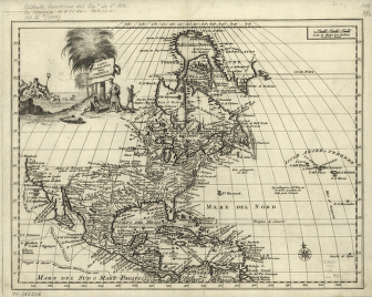
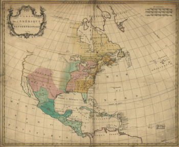
Carta geografica dell' America settentrionale
Price range: $39.95 through $69.95 -
Carte de l'Amerique septentrionale, 1754
Price range: $39.95 through $69.95 -
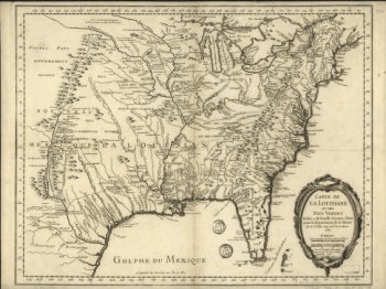
Carte de la Louisiane et des pays voisins
Price range: $39.95 through $69.95 -
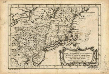
Carte de la Nouvelle Angleterre, Nouvelle Yorck, et Pensilvanie. Pour servir a l'Histoire generale des voyages
Price range: $39.95 through $69.95 -
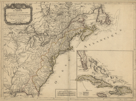
Carte generale des Etats Unis de l'Amerique Septentrionale
Price range: $39.95 through $69.95 -
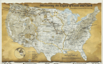
Discovering the legacy of Lewis and Clark : bicentennial commemoration 2003-2006
Price range: $39.95 through $69.95 -
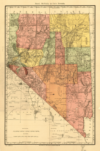
Indexed county and township pocket map and shippers guide of Nevada
Price range: $39.95 through $69.95 -
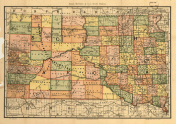
Indexed county and township pocket map and shippers guide of South Dakota
Price range: $39.95 through $69.95 -
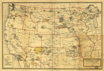
Indian Reservations west of the Mississippi River
Price range: $39.95 through $69.95 -
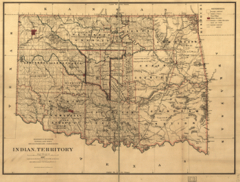
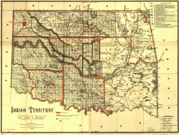
Indian territory
Price range: $39.95 through $69.95 -
Indian territory
Price range: $39.95 through $69.95 -
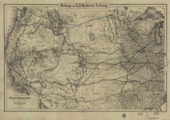
Karte der verschiendenen Pacific Eisenbahnen und deren Verbindung
Price range: $39.95 through $69.95 -
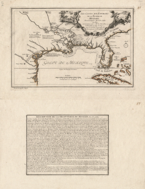
Les costes aux environs de la riviere de Misisipi
Price range: $39.95 through $69.95 -
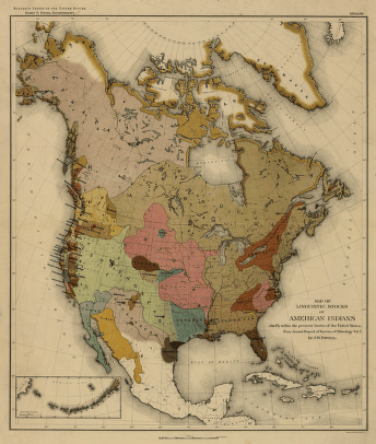
Map of linguistic stocks of American Indians
Price range: $39.95 through $69.95 -
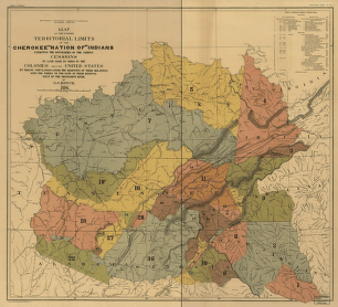
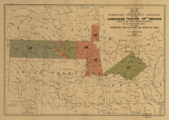
Map of the former territorial limits of the Cherokee 'Nation of' Indians
Price range: $39.95 through $69.95 -
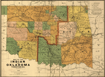
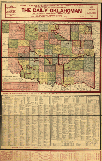
Map of the Indian and Oklahoma territories
Price range: $39.95 through $69.95 -
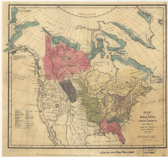
Map of the Indian tribes of North America
Price range: $39.95 through $69.95 -
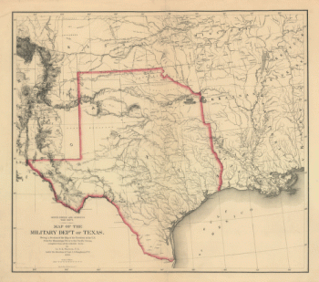
Map of the military dep't of Texas
Price range: $39.95 through $69.95 -
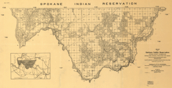
Map of the Spokane Indian Reservation, Stevens County, Washington
Price range: $39.95 through $69.95 -
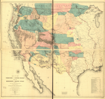
Map of the territory of the United States from the Mississippi to the Pacific Ocean
Price range: $39.95 through $69.95 -
Map showing the territory originally assigned Cherokee 'Nation of' Indians
Price range: $39.95 through $69.95 -
Mapa del Golfo y costa de la Nueva Espaea
Price range: $39.95 through $69.95 -
Nieuwe en nauwkeurige kaart van een gedeelte van Noord Amerika
Price range: $39.95 through $69.95 -
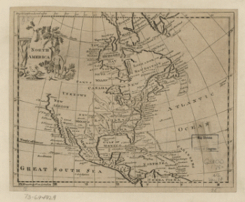
North America
Price range: $39.95 through $69.95 -
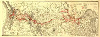
Northern Pacific Railway 1900
Price range: $39.95 through $69.95 -
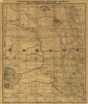
Official railroad map of Dakota issued by the railroad commissioners, November 1st, 1886
Price range: $39.95 through $69.95 -
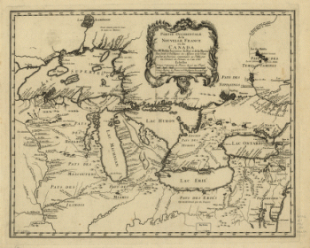
Partie occidentale de la Nouvelle France ou du Canada
Price range: $39.95 through $69.95 -
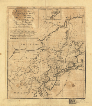
Pensilvania, Nove-Cesarea, Novi-Eboraci, Aquanishuonige et Canada
Price range: $39.95 through $69.95 -
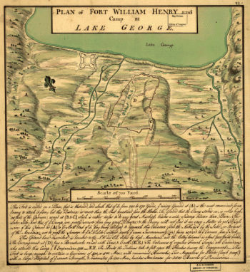
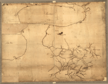
Plan of Fort William Henry and camp at Lake George. W. Eyre, engr. I. Heath dt
Price range: $39.95 through $69.95 -
Plan of part of western front
Price range: $39.95 through $69.95 -
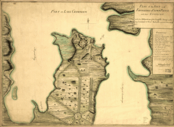
Plan of the fort and fortress at Crown Point with their environs
Price range: $39.95 through $69.95 -
Premier series map of Oklahoma and Indian Territory
Price range: $39.95 through $69.95 -
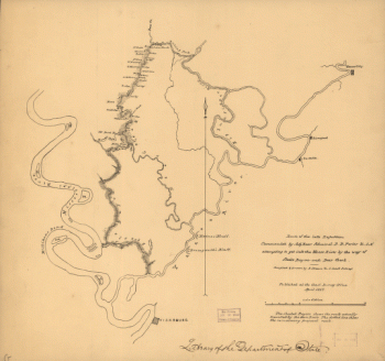
Route of the late expedtion
Price range: $39.95 through $69.95 -
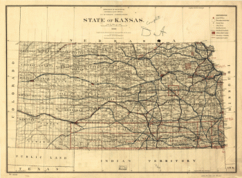
State of Kansas, 1884
Price range: $39.95 through $69.95 -
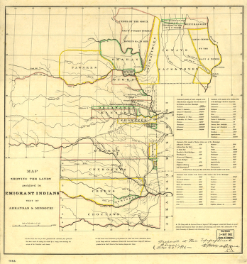
The lands assigned to emigrant Indians west of Arkansas and Missouri
Price range: $39.95 through $69.95