Birds Eye View Maps
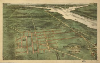
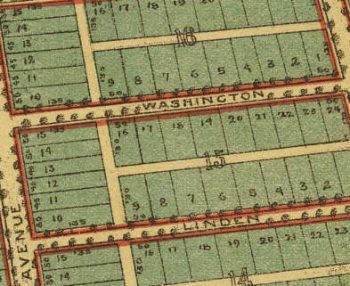
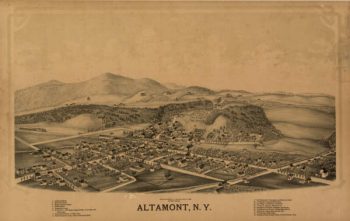
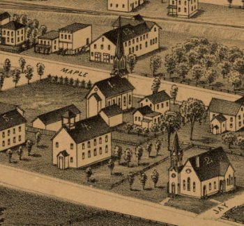
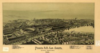
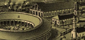
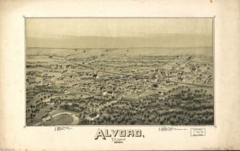
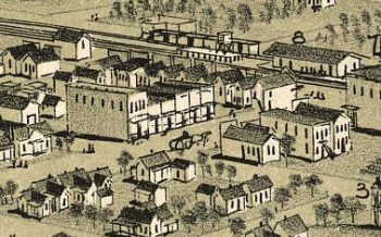
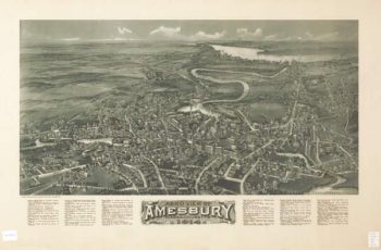
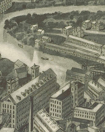
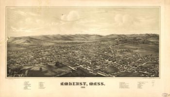
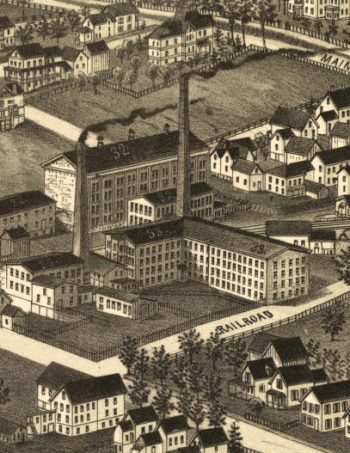
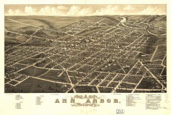
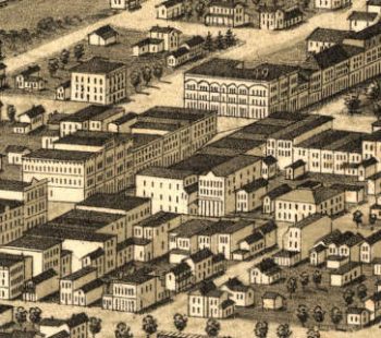
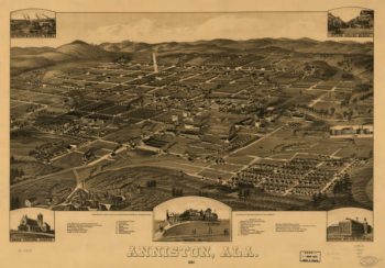
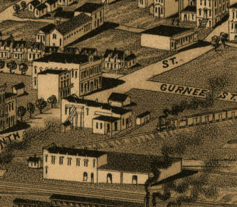
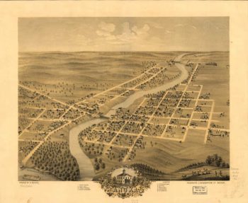
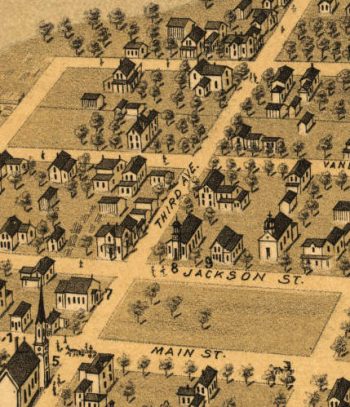
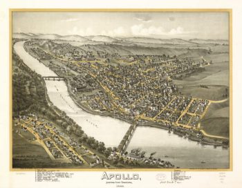
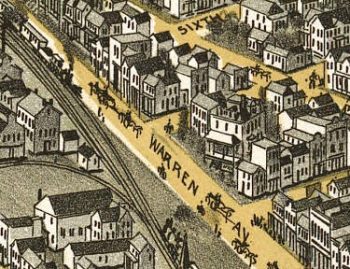
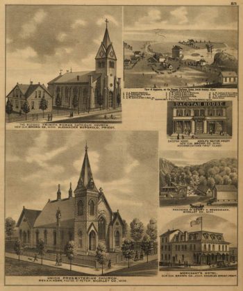
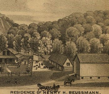
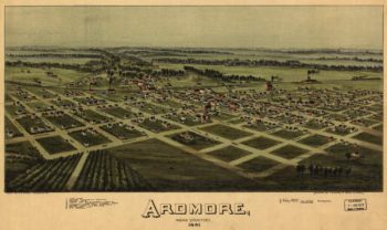
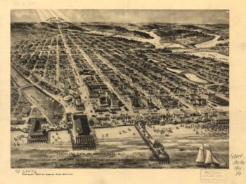
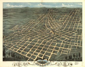
The Panoramic (Birds Eye View) Map was a popular cartographic form used to depict U.S. and Canadian cities and towns during the late nineteenth and early twentieth centuries. Known also as bird’s-eye views, perspective maps, and aero views, panoramic maps are nonphotographic representations of cities portrayed as if viewed from above at an oblique angle. Although not generally drawn to scale, they show street patterns, individual buildings, and major landscape features in perspective.
-


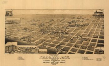
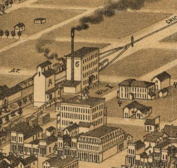
Aberdeen SD 1883
$17.95 – $47.95 -
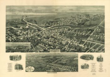
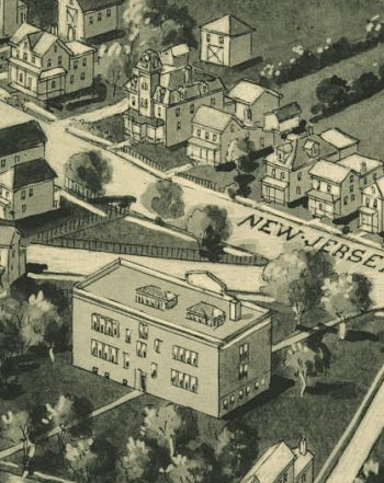
Absecon NJ 1924
$17.95 – $47.95 -
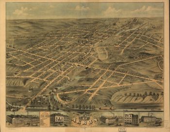
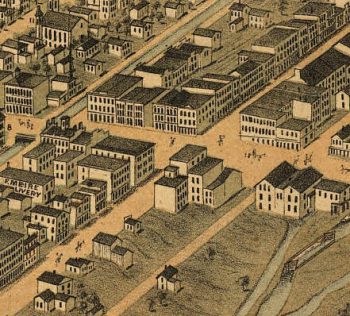
Akron OH 1870
$17.95 – $47.95 -
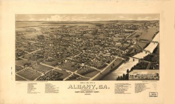
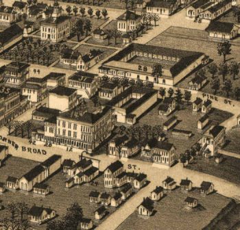
Albany Georgia in 1885
$17.95 – $47.95 -
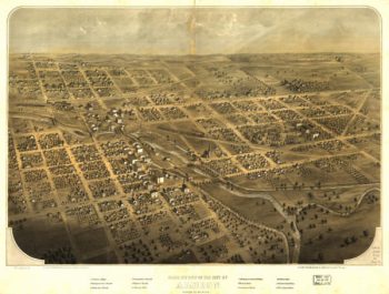
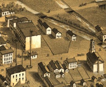
Albion MI 1868
$17.95 – $47.95 -
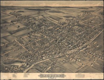
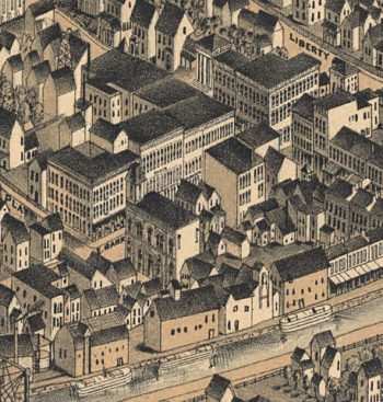
Albion NY 1880
$17.95 – $47.95 -
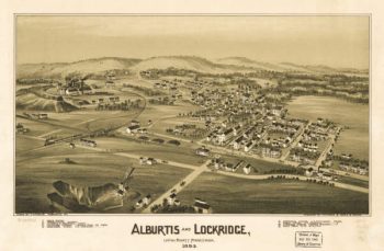
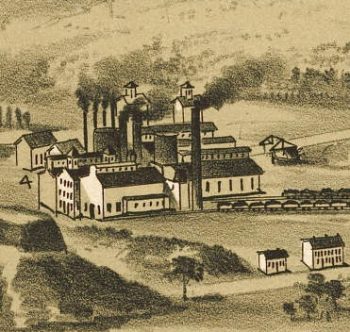
Alburtis / Lockridge PA 1893
$17.95 – $47.95 -
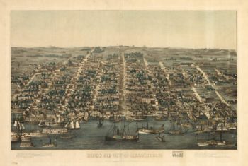
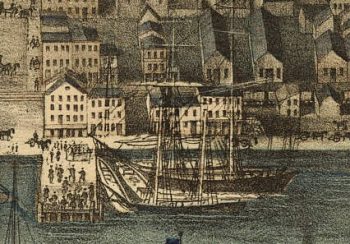
Alexandria VA 1863
$17.95 – $47.95 -
Alexandria VA 1890's
$17.95 – $47.95 -
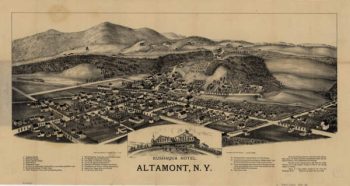
Altamont NY 1889
$17.95 – $47.95 -
Altamont NY 1890
$17.95 – $47.95 -
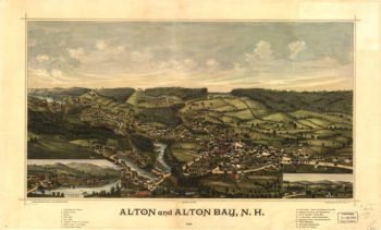
Alton Bay NH Color 1888
$17.95 – $47.95 -
Altoona PA 1895
$17.95 – $47.95 -
Alvord TX 1890
$17.95 – $47.95 -
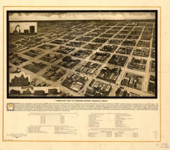
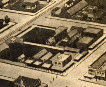
Amarillo TX 1912
$17.95 – $47.95 -
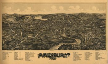
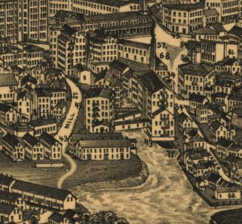
Amesbury Massachusetts 1890
$17.95 – $47.95 -
Amesbury Massachusetts 1914
$17.95 – $47.95 -
Amherst Massachusetts 1886
$17.95 – $47.95 -
Ann Arbor MI 1880
$17.95 – $47.95 -
Anniston AL in 1887
$17.95 – $47.95 -
Anoka MN 1869
$17.95 – $47.95 -
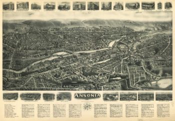
Ansonia CT in 1921
$17.95 – $47.95 -
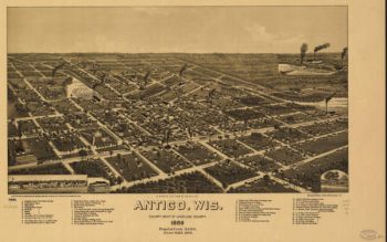
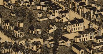
Antigo WI 1886
$17.95 – $47.95 -
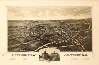
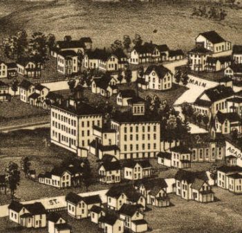
Antwerp NY 1888
$17.95 – $47.95 -
Apollo PA 1896
$17.95 – $47.95 -
Appleton MN 1874
$17.95 – $47.95 -
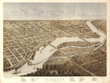
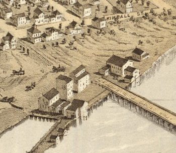
Appleton WI 1887
$17.95 – $47.95 -
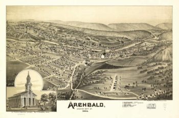
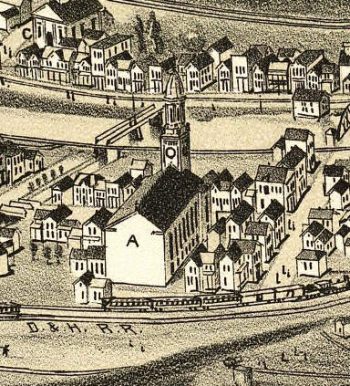
Archbald PA 1892
$17.95 – $47.95 -
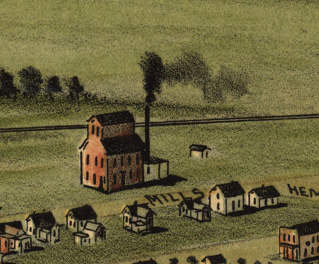
Ardmore OK 1891
$17.95 – $47.95 -
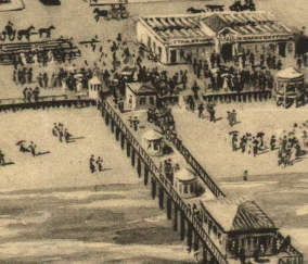
Asbury Park NJ 1910
$17.95 – $47.95 -
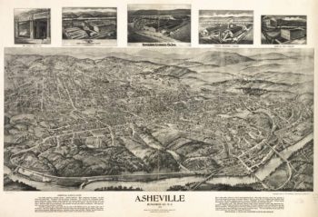
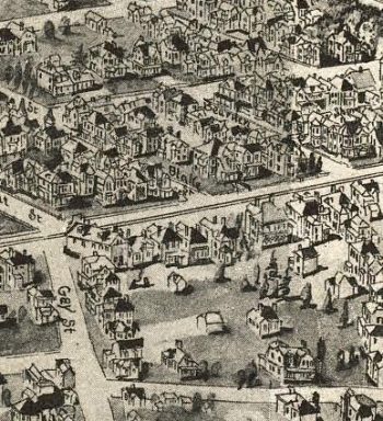
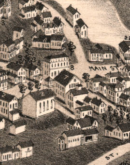
Asheville NC 1912
$17.95 – $47.95 -
Ashland NH 1883
$17.95 – $47.95 -
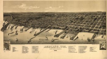
Ashland WI 1886
$17.95 – $47.95 -
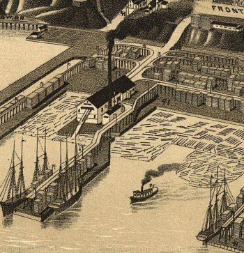
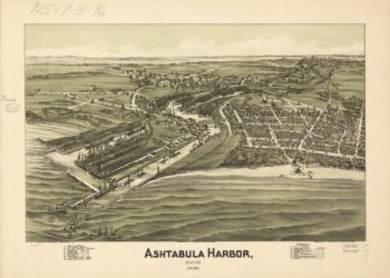
Ashtabula OH 1896
$17.95 – $47.95 -
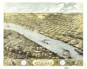
Atchison Kansas 1869
$17.95 – $47.95 -
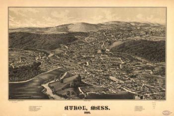
Athol Massachusetts 1887
$17.95 – $47.95 -
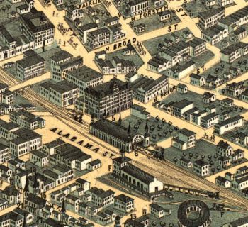
Atlanta Georgia in 1871
$17.95 – $47.95 -
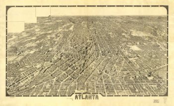
Atlanta Georgia in 1919
$17.95 – $47.95 -
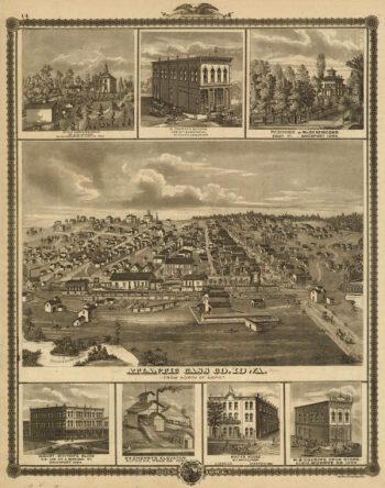
Atlantic Cass Co Iowa 1875
$17.95 – $47.95 -
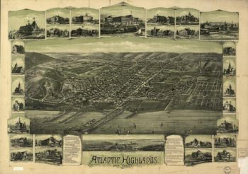
Atlantic Highlands NJ 1894
$17.95 – $47.95 -
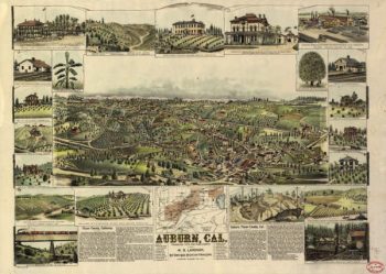
Auburn CA in 1887
$17.95 – $47.95 -
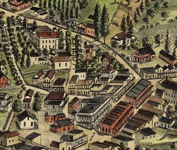
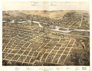
Aurora Illinois in 1867
$17.95 – $47.95 -
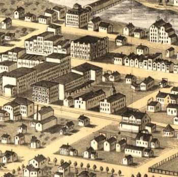
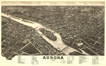
Aurora Illinois in 1882
$17.95 – $47.95 -
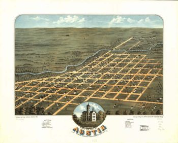
Austin MN 1870
$17.95 – $47.95 -
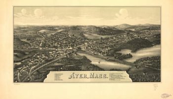
Ayer Massachusetts 1886
$17.95 – $47.95 -
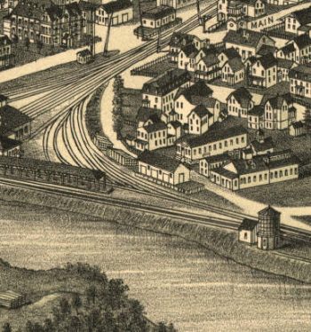
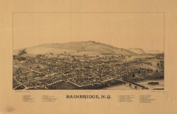
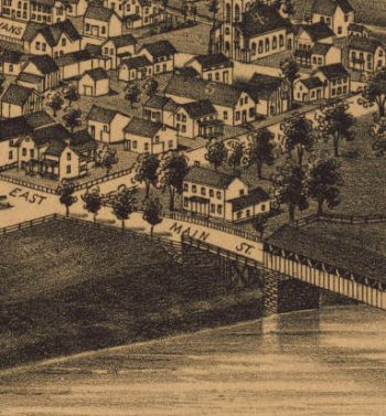
Bainbridge NY 1889
$17.95 – $47.95 -
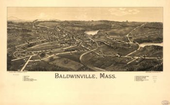
Baldwinville Massachusetts 1886
$17.95 – $47.95 -
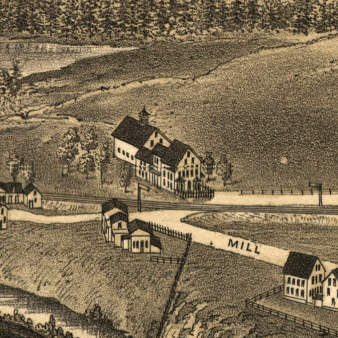
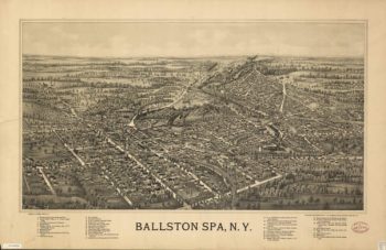
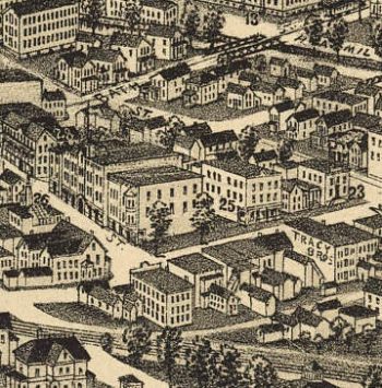
Ballston Spa NY 1890's
$17.95 – $47.95