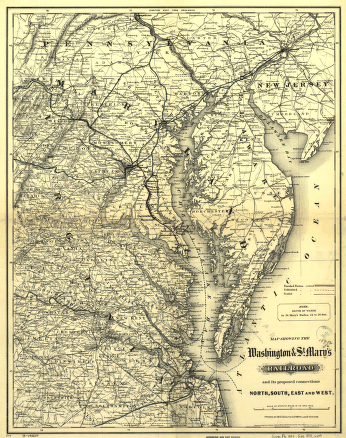
Map showing the Union Pacific Railway and connecting railroads. Map of the western states showing relief by hachures, drainage, cities and towns, and the railroads with emphasis on the main line. G.W. & C.B. Colton & Co. CREATED/PUBLISHED New York, 1882. Scale ca. 1:3,800,000.


