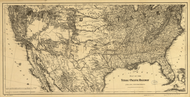
Texas and Pacific Railway and its connections. General map of the United States showing relief by hachures, drainage, and the railroad network with emphasis on the main line. . G.W. & C.B. Colton & Co. CREATED/PUBLISHED New York, 1876. Scale 1:5,400,000.


