Map of the Stanstead, Shefford, and Chambly Rail Road, and its connections. Map of the New England states and part of Canada showing the railroad network, relief by hachures, and place names. Robertson & Seibert. CREATED/PUBLISHED N[ew] Y[ork], 1858. Scale ca. 1:2,250,000.
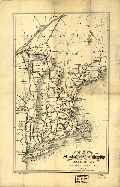
Stanstead, Shefford, and Chambly Railroad
$17.95 – $47.95
SKU: rrsz23
Related products
-

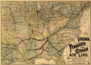
Virginia, Tennessee, and Georgia Air Line Railroad
$17.95 – $47.95 -
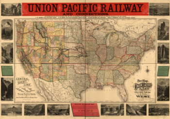
Union Pacific Railway Company
$17.95 – $47.95 -
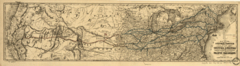
Union Pacific Railroad Company
$17.95 – $47.95 -
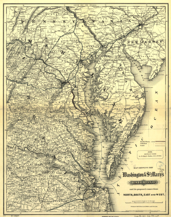
Washington and St
$17.95 – $47.95