State Maps
-

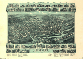
Hackensack, New Jersey / O.H. Bailey & Co., lith. & pub.
$17.95 – $47.95 -
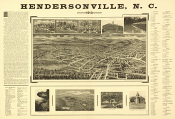
Hendersonville, N.C. 1913.
$17.95 – $47.95 -
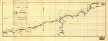
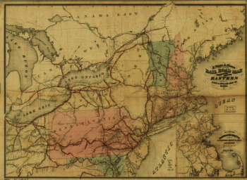
Hillsborough & Cincinnati Rail-road map
$17.95 – $47.95 -
Hillsborough & Cincinnati Railroad map
$17.95 – $47.95 -
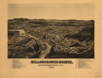
Hillsborough-Bridge, Hillsborough County, N.H. 1884. H. W., del.
$17.95 – $47.95 -
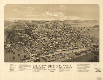
Honey Grove, Tex. Fannin County 1886
$17.95 – $47.95 -
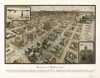
Houston – A modern city
$17.95 – $47.95 -
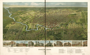
Houston, Texas … 1891
$17.95 – $47.95 -
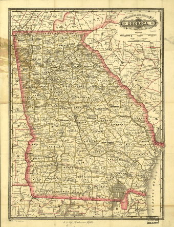
Indexed railroad and county map of Georgia.
$17.95 – $47.95 -
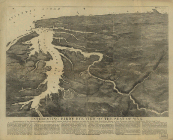
Interesting Bird's eye view of the seat of war
$17.95 – $47.95 -
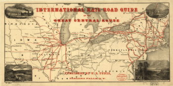
International rail road guide of the Great Central Route.
$17.95 – $47.95 -
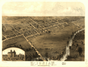
Ionia, Ionia Co., Michigan 1868. Drawn by A. Ruger.
$17.95 – $47.95 -
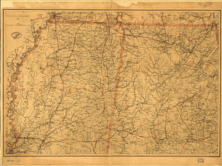
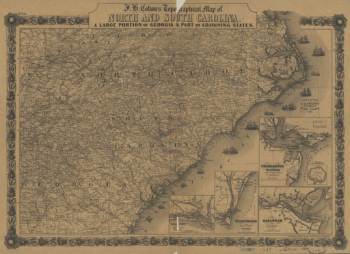
J. H. Colton's topographical map of North and South Carolina
$17.95 – $47.95 -
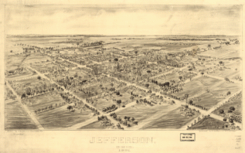
Jefferson, Ohio 1901. Drawn by T. M. Fowler. Morrisville, Pa.
$17.95 – $47.95 -
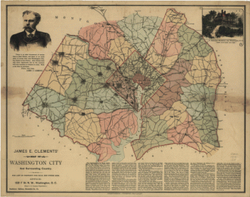
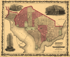
Johnson's Georgetown and the city of Washington
$17.95 – $47.95 -
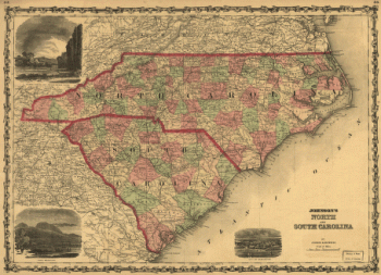
Johnson's North and South Carolina
$17.95 – $47.95 -
Johnson's North and South Carolina.
$17.95 – $47.95 -
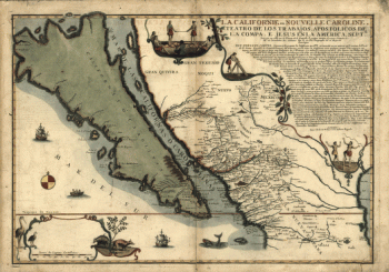
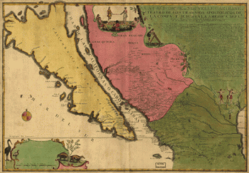
La Californie ou Nouvelle Caroline
$17.95 – $47.95 -
La Californie ou Nouvelle Caroline
$17.95 – $47.95 -
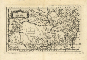
La Louisiane et pays voisins.
$17.95 – $47.95 -
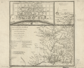
La Luisiana cedida al Rei N. S. por S. M. Christianisima
$17.95 – $47.95 -
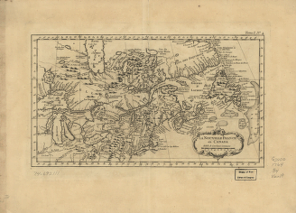
La Nouvelle France où Canada
$17.95 – $47.95 -
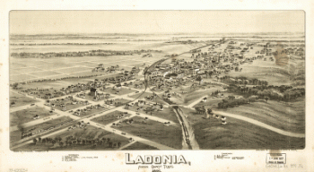
Ladonia, Fannin County, Texas.
$17.95 – $47.95 -
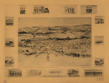
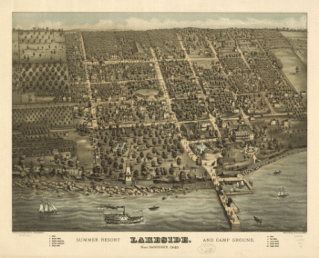
Lakeport, Lake County, California, the Switzerland of America.
$17.95 – $47.95 -
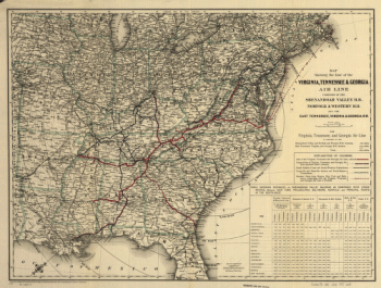
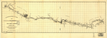
Line of the Virginia, Tennessee, & Georgia Air
$17.95 – $47.95 -
Line of the Virginia, Tennessee, & Georgia Air Line
$17.95 – $47.95 -
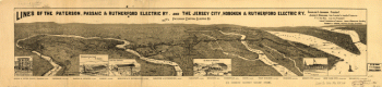
Lines of the Paterson, Passaic, & Rutherford Electric Railway
$17.95 – $47.95 -
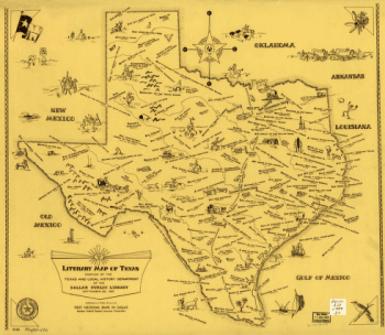
Literary map of Texas. Compiled Sept. 25, 1955
$17.95 – $47.95


![Knoxville, Tenn. county seat of Knox County 1886. [Drawn by] H. Wellge. Beck & Pauli, litho.](https://www.ushistoricalarchive.com/wp-content/uploads/nc/data/products/im/sm/tn/b77-350x246.gif)