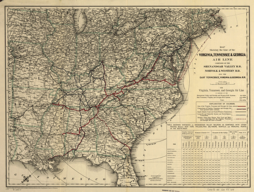
Composed of the Shenandoah Valley R.R., Norfolk & Western R.R. and the East Tennessee, Virginia, & Georgia R.R. G.W. & C.B. Colton & Co. CREATED/PUBLISHED New York, 1881. NOTES Scale 1:3,800,000. SUMMARY Map of the southern United States showing drainage, cities and towns, state boundaries, table of distances, and the railroads distinguished by color.


![Rough plan of part of battle of Wauhatchie, Tenn., night of Oct. 28-29, 1863 Drawn from memory by H. T. [i.e., Hector Tyndale. 188-].](https://www.ushistoricalarchive.com/wp-content/uploads/nc/data/products/im/sm/tn/b63-350x241.gif)
