Home
All Products
Historic Maps
American Indian Maps
Birds Eye View Maps
Civil War Maps
Panoramic Maps
Railroad Maps
Revolutionary War Maps
State Maps
Historic Prints
Civil War Prints
Civil War Posters
Historic Portraits
Presidential Portraits
Contact Us
0
0
press
Enter
to search
Showing all results:
No products found.
North Carolina
Search
Search Product or SKU
×
Sort By
Default
Price: Low to High
Price: High to Low
Alphabetical
SKU
Categories
All
American Indian Maps
American Indian Photos
Birds Eye View Maps
CD Collections
Civil War Maps
Civil War Posters
Civil War Prints
Panoramic Maps
Photo-chromes
Presidential Portraits
Railroad Maps
Revolutionary War Maps
St. Augustine
State Maps
Alabama
California
Canada
Georgia
Louisiana
Michigan
New Hampshire
New Jersey
New York
New York City
North Carolina
Ohio
South Carolina
Tennessee
Texas
Washington DC
Showing
“North Carolina”
A map of the Tennessee government, formerly part of North Carolina.
$
17.95
–
$
47.95
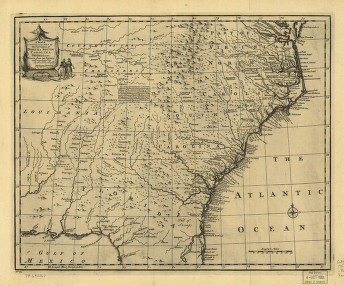
A new & accurate map of the provinces of North & South Carolina, Georgia &c. Drawn from late surveys and regulated by astronl. observatns. By Eman. Bowen.
$
17.95
–
$
47.95
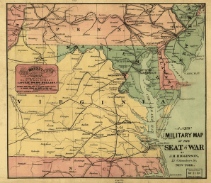
A new military map of the seat of war by J.H. Higginson.
$
17.95
–
$
47.95
Aero view of High Point, North Carolina by J. J. Farris.
$
17.95
–
$
47.95
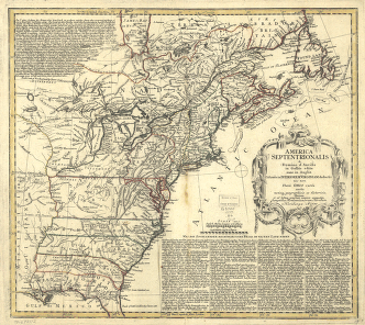
America Septentrionalis a Domino d'Anville in Galliis edita nunc in Anglia
$
17.95
–
$
47.95
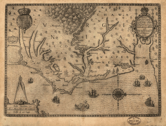
Americæ pars, nunc Virginia dicta : primum ab Anglis inuenta
$
17.95
–
$
47.95
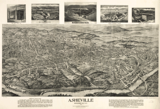
Asheville, Buncombe Co. N.C. 1912.
$
17.95
–
$
47.95
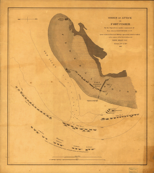
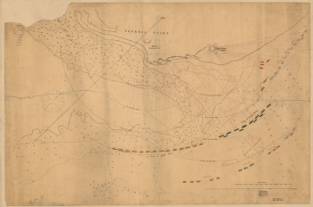
Attack on Fort Fisher
$
17.95
–
$
47.95
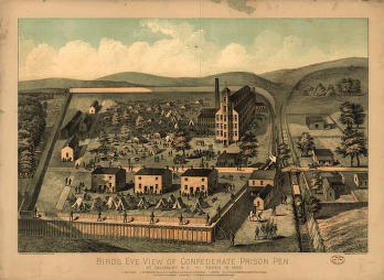
Bird's eye view of Confederate prison pen at Salisbury, N.C., taken in 1864.
$
17.95
–
$
47.95
Bird's eye view of Rocky Mount, North Carolina 1907.
$
17.95
–
$
47.95
Bird's eye view of the city of Greensboro, North Carolina. 1891.
$
17.95
–
$
47.95
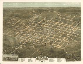
Bird's eye view of the city of Raleigh, North Carolina 1872.
$
17.95
–
$
47.95
Bird's-eye view of the city of Durham, North Carolina 1891.
$
17.95
–
$
47.95
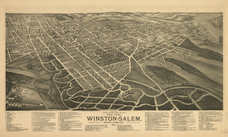
Bird's-eye view of the twin cities, Winston-Salem, North Carolina 1891.
$
17.95
–
$
47.95
Bird's-eye-view of Hickory, North Carolina.
$
17.95
–
$
47.95
Bird's-eye-view of Statesville, North Carolina,
$
17.95
–
$
47.95
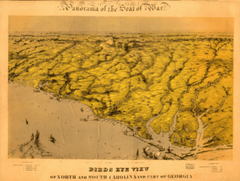
Birds eye view of North and South Carolina and part of Georgia.
$
17.95
–
$
47.95
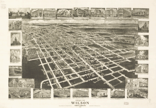
Birds eye view of Wilson, North Carolina 1908.
$
17.95
–
$
47.95
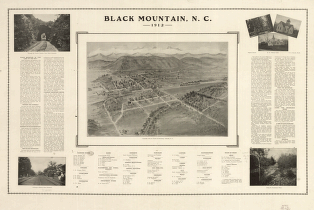
Black Mountain, N.C. 1912.
$
17.95
–
$
47.95
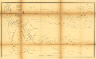
Core Sound and Straits, North Carolina.
$
17.95
–
$
47.95
Dominia Anglorum in America Septentrionali. Specialibus mappis Londini primum a Mollio edita, nunc recusa ab Hommanianis Hered.
$
17.95
–
$
47.95
Forest conditions of western North Carolina.
$
17.95
–
$
47.95
Fort Fisher, defensive work protecting the entrance to the port of Wilmington, North Carolina, captured by the Federals, Jan. 15, 1865
$
17.95
–
$
47.95
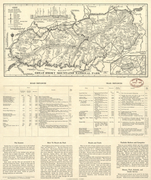
Great Smoky Mountains National Park
$
17.95
–
$
47.95
Great Smoky Mountains National Park
$
17.95
–
$
47.95
Great Smoky Mountains National Park and vicinity
$
17.95
–
$
47.95
Great Smoky Mountains National Park and vicinity.
$
17.95
–
$
47.95
Great Smoky Mountains National Park and vicinity.
$
17.95
–
$
47.95
Great Smoky Mountains National Park, North Carolina-Tennessee, trail map
$
17.95
–
$
47.95
Great Smoky Mountains National Park, North Carolina/Tennessee
$
17.95
–
$
47.95
Great Smoky Mountains National Park, North Carolina/Tennessee
$
17.95
–
$
47.95
Great Smoky Mountains National Park, North Carolina/Tennessee
$
17.95
–
$
47.95
Great Smoky Mountains National Park, North Carolina/Tennessee, trail map
$
17.95
–
$
47.95
Great Smoky Mountains National Park, North Carolina/Tennessee, trail map / U.S. Department of the Interior, National Park Service.
$
17.95
–
$
47.95
Great Smoky Mountains National Park.
$
17.95
–
$
47.95
Great Smoky Mountains National Park.
$
17.95
–
$
47.95
Great Smoky Mountains National Park.
$
17.95
–
$
47.95
Great Smoky Mountains National Park. 1971.
$
17.95
–
$
47.95
Great Smoky Mountains National Park. 1971.
$
17.95
–
$
47.95
Hendersonville, N.C. 1913.
$
17.95
–
$
47.95
Interesting Bird's eye view of the seat of war
$
17.95
–
$
47.95
J. H. Colton's topographical map of North and South Carolina
$
17.95
–
$
47.95
Johnson's North and South Carolina.
$
17.95
–
$
47.95
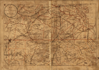
Map of the seat of war in Virginia.
$
17.95
–
$
47.95
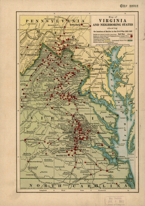
Map of Virginia and neighboring states showing the location of battles in the Civil War 1861-1865.
$
17.95
–
$
47.95
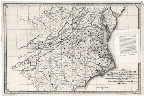
Map of Virginia and West Va., North & part of South Carolina, Maryland & Delaware
$
17.95
–
$
47.95
Map showing the Albemarle & Pantego Railroad and its connections.
$
17.95
–
$
47.95
Maps showing the Norfolk, Albermarle & Atlantic Railroad and its connections.
$
17.95
–
$
47.95
1
2
Load More
All products loaded.
Search Product or SKU
×
Home
All Products
Historic Maps
American Indian Maps
Birds Eye View Maps
Civil War Maps
Panoramic Maps
Railroad Maps
Revolutionary War Maps
State Maps
Historic Prints
Civil War Prints
Civil War Posters
Historic Portraits
Presidential Portraits
Contact Us
Cart
0
Cart
Close
Updating…
No products in the cart.
Continue shopping