State Maps
-

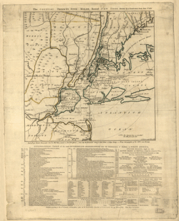
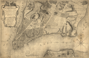
The Country twenty five miles round New York, drawn by a gentleman from that city. J. Barber, sculp.
Price range: $39.95 through $69.95 -
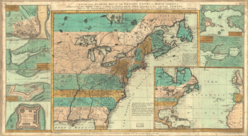
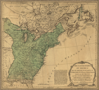
The English empire in North America
Price range: $39.95 through $69.95 -
The environs of Savannah, Georgia
Price range: $39.95 through $69.95 -
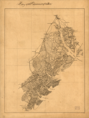
The extension of the route of the Baltimore & Ohio Rail Road through north western Virginia from the Potomac to the Ohio river
Price range: $39.95 through $69.95 -
The Merchants' Association hotel and theater map.
Price range: $39.95 through $69.95 -
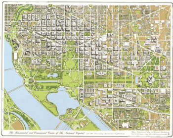
The monumental and commercial center of the national capital
Price range: $39.95 through $69.95 -
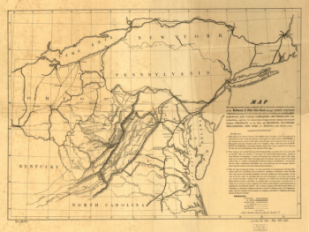
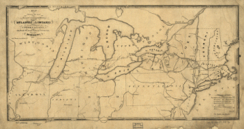
The most direct commercial route from the Atlantic via L. Ontario, to the province of Upper Canada
Price range: $39.95 through $69.95 -
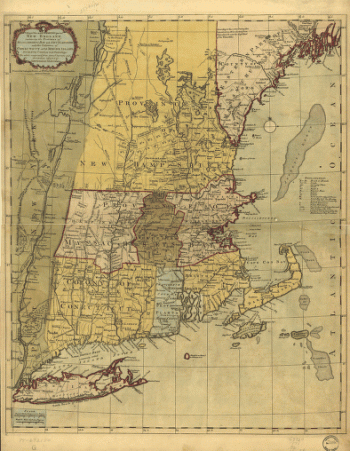
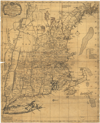
The most inhabited part of New England
Price range: $39.95 through $69.95 -
The most inhabited part of New England
Price range: $39.95 through $69.95 -
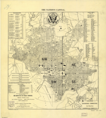
The nation's capital : Washington D.C.
Price range: $39.95 through $69.95 -
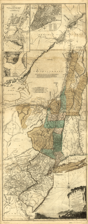
The provinces of New York and New Jersey; with part of Pensilvania, and the Province of Quebec
Price range: $39.95 through $69.95 -
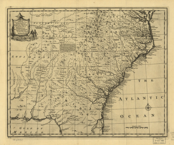
The provinces of North & South Carolina, Georgia
Price range: $39.95 through $69.95 -
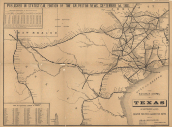
The railroad system of Texas on September 1st, 1883 / drawn for the Galveston news by E.A. Hensoldt.
Price range: $39.95 through $69.95 -
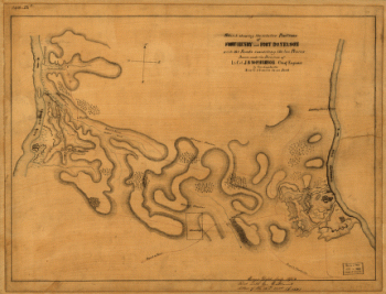
The relative positions of Fort Henry and Fort Donelson : with the roads connecting the two places
Price range: $39.95 through $69.95 -
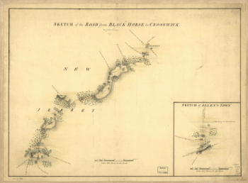
The road from Black Horse to Crosswick and Allen's Town
Price range: $39.95 through $69.95 -
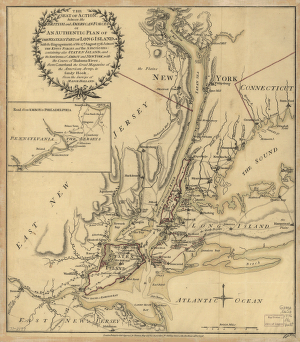
The seat of action, between the British and American forces; or, An authentic plan of the western part of Long Island
Price range: $39.95 through $69.95 -
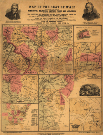
The Seat of War
Price range: $39.95 through $69.95 -
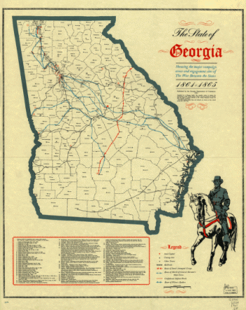
The State of Georgia
Price range: $39.95 through $69.95 -
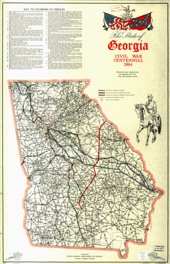
The State of Georgia, Civil War Centennial, 1864
Price range: $39.95 through $69.95 -
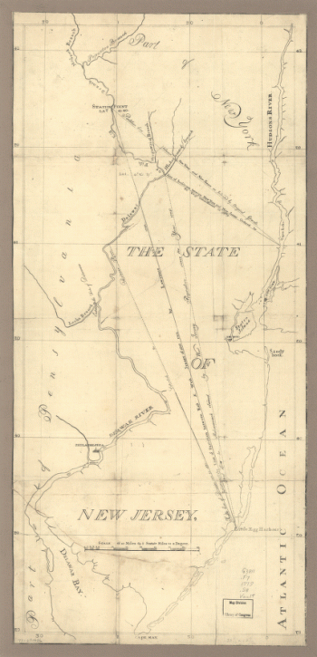
The State of New Jersey
Price range: $39.95 through $69.95 -
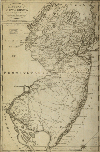
The State of New Jersey, compiled from the most authentic information.
Price range: $39.95 through $69.95 -
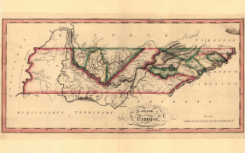
The state of Tennessee
Price range: $39.95 through $69.95 -
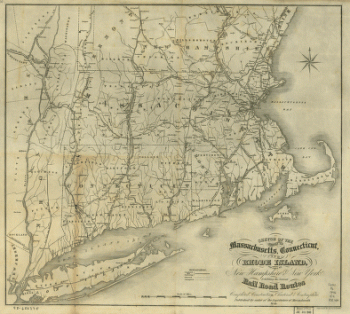
The states of Massachusetts, Connecticut, and Rhode Island, and parts of New Hampshire & New York
Price range: $39.95 through $69.95 -
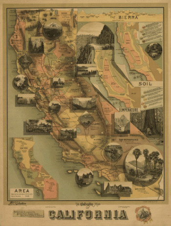
The unique map of California.
Price range: $39.95 through $69.95 -
The United States of America with the British possessions of Canada, Nova Scotia, & of Newfoundland
Price range: $39.95 through $69.95 -
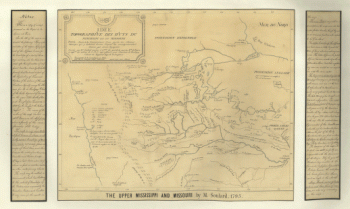
The upper Mississippi and Missouri
Price range: $39.95 through $69.95 -
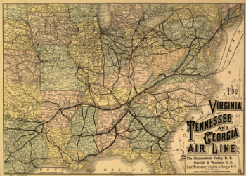
The Virginia, Tennessee, and Georgia Air Line
Price range: $39.95 through $69.95 -
The Virginia, Tennessee, and Georgia Air Line
Price range: $39.95 through $69.95 -
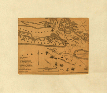
The war in North Carolina. Map of the entrance to Beaufort harbor, N.C. showing the position of Fort Macon, etc.
Price range: $39.95 through $69.95 -
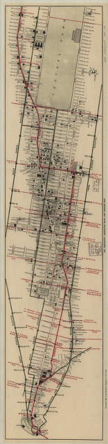
This plan of the city of New York
Price range: $39.95 through $69.95 -
This plan of the city of New York
Price range: $39.95 through $69.95 -
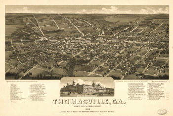
Thomasville, Ga. county-seat of Thomas-County 1885
Price range: $39.95 through $69.95 -
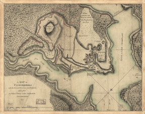
Ticonderoga
Price range: $39.95 through $69.95 -
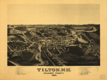
Tilton, N.H., Belknap County, 1884. H. Wellge, del.
Price range: $39.95 through $69.95 -
Toledo, Ohio 1876. [By] A. Ruger. Chas. Shober & Co. props. Chicago Lith. Co.
Price range: $39.95 through $69.95 -
Topographic map of West Point, Constitution Island, and vicinity, N.Y.] / T.B.J. Weld.
Price range: $39.95 through $69.95 -
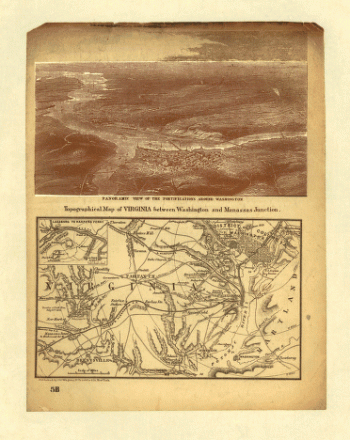
Topographical map of Virginia between Washington and Manassas Junction.
Price range: $39.95 through $69.95 -
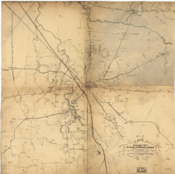
Topographical sketch of the battlefield of Stone's River near Murfreesboro, Tennessee, December 31st, 1862 to Jan. 3d, 1863
Price range: $39.95 through $69.95 -
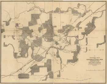
Topographical sketch of the environs of Murfreesboro, Tennessee
Price range: $39.95 through $69.95 -
Topography of the federal city, 1791 : Washington D.C.
Price range: $39.95 through $69.95 -
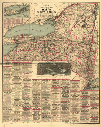
Tunison's railroad, distance, and township map of New York from latest surveys.
Price range: $39.95 through $69.95 -
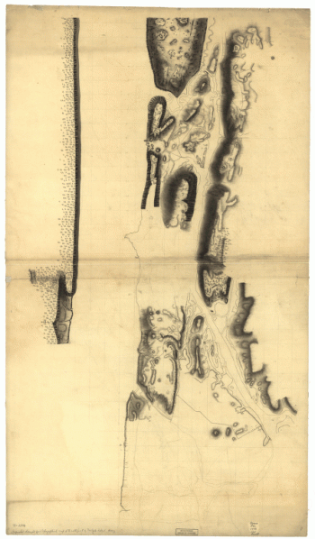
Unfinished draught for a topographical map of the northern part of New York Island.
Price range: $39.95 through $69.95 -
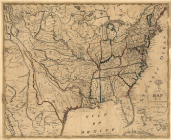
United States and part of Louisiana
Price range: $39.95 through $69.95 -
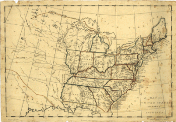
United States including Louisiana
Price range: $39.95 through $69.95 -
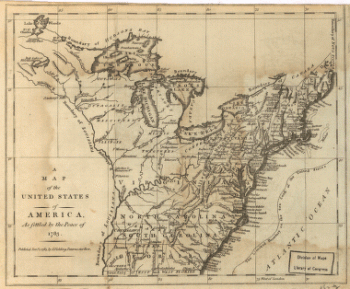
United States of America, as settled by the peace of 1783.
Price range: $39.95 through $69.95 -
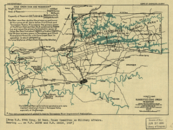
Vicinity map of the suggested Cove Creek Reservoir.
Price range: $39.95 through $69.95 -
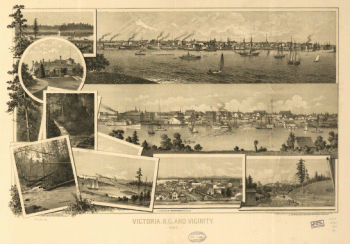
Victoria, B.C. and vicinity 1884. By L. Samuel. Lithographed by the West Shore
Price range: $39.95 through $69.95 -
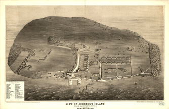
View of Johnson's Island, near Sandusky City, O. Sketched by Edward Gould.
Price range: $39.95 through $69.95


![Toledo, Ohio 1876. [By] A. Ruger. Chas. Shober & Co. props. Chicago Lith. Co.](https://www.ushistoricalarchive.com/wp-content/uploads/nc/data/products/im/sm/oh/b48-350x202.gif)
![Topographic map of West Point, Constitution Island, and vicinity, N.Y.] / T.B.J. Weld.](https://www.ushistoricalarchive.com/wp-content/uploads/nc/data/products/im/sm/ny/b83-350x414.gif)