Home
All Products
Historic Maps
American Indian Maps
Birds Eye View Maps
Civil War Maps
Panoramic Maps
Railroad Maps
Revolutionary War Maps
State Maps
Historic Prints
Civil War Prints
Civil War Posters
Historic Portraits
Presidential Portraits
Contact Us
0
0
press
Enter
to search
Showing all results:
No products found.
State Maps
Search
Search Product or SKU
×
Sort By
Default
Price: Low to High
Price: High to Low
Alphabetical
SKU
Categories
All
American Indian Maps
American Indian Photos
Birds Eye View Maps
CD Collections
Civil War Maps
Civil War Posters
Civil War Prints
Panoramic Maps
Photo-chromes
Presidential Portraits
Railroad Maps
Revolutionary War Maps
St. Augustine
State Maps
Alabama
California
Canada
Georgia
Louisiana
Michigan
New Hampshire
New Jersey
New York
New York City
North Carolina
Ohio
South Carolina
Tennessee
Texas
Washington DC
Showing
“State Maps”
Sketch of West Point.
$
17.95
–
$
47.95
Sketch showing position of besieging batteries. [Fort Sumter] April 12-13, 1861 Bowen & Co., lith., Phila.
$
17.95
–
$
47.95
Sketch showing position of Boyd's Neck, Honey Hill, and Devaux' Neck
$
17.95
–
$
47.95
Sketch showing position of Boyd's Neck, Honey Hill, and Devaux' Neck, in Decr. 1864 Bowen & Co., lith., Philada.
$
17.95
–
$
47.95
Sketch showing route of the Burnside expedition [to Roanoke Island, N.C., February 6, 1862]
$
17.95
–
$
47.95
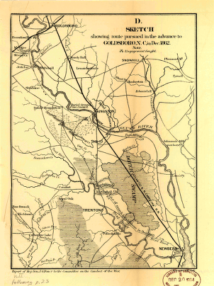
Sketch showing route pursued in the advance to Goldsboro, N.C., in Dec. 1862
$
17.95
–
$
47.95
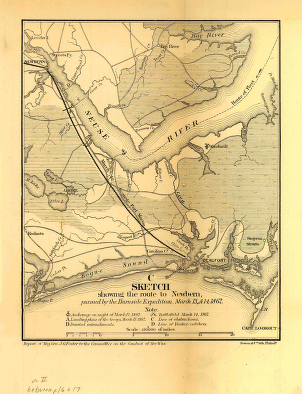
Sketch showing the route to Newbern, pursued by the Burnside expedition, March 13 & 14, 1862
$
17.95
–
$
47.95
Somerville, New Jersey 1882. Drawn by T. M. Fowler. Beck & Pauli, lithographers.
$
17.95
–
$
47.95
South Carolina railroads
$
17.95
–
$
47.95
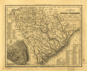
South Carolina with its canals, roads & distances from place to place along the stage & steam boat routes
$
17.95
–
$
47.95
South-New-Market, Rockingham County, N.H. 1884.
$
17.95
–
$
47.95
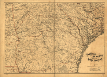
Southern Georgia and part of South Carolina / U.S. Coast Survey, A.D. Bache
$
17.95
–
$
47.95
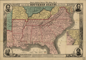
Southern states
$
17.95
–
$
47.95
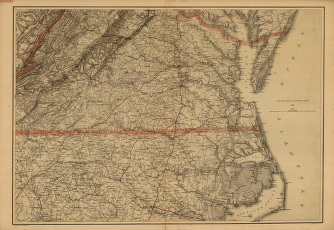
Southern Virginia and northern North Carolina
$
17.95
–
$
47.95
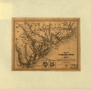
St. Helena Sound, and the coast between Charleston and Savannah
$
17.95
–
$
47.95
St. Thomas
$
17.95
–
$
47.95
State of Alabama. October. 2nd. 1866.
$
17.95
–
$
47.95
State of Tennessee, roadless and undeveloped area evaluation II, RARE II final environmental statement : January 1979
$
17.95
–
$
47.95
State of Texas
$
17.95
–
$
47.95
Stono Inlet, South Carolina
$
17.95
–
$
47.95
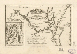
Suite du cours du fleuve
$
17.95
–
$
47.95
Sunset, Montague Co., Texas, 1890
$
17.95
–
$
47.95
Tarrant County, Trinity River, Fort Worth sheet
$
17.95
–
$
47.95
Tecumseh, Lenawee Co., Michigan 1868. Drawn by A. Ruger. Chicago Lithogr. Co.
$
17.95
–
$
47.95
Telegraph stations in the United States, the Canadas & Nova Scotia
$
17.95
–
$
47.95
Tennessee
$
17.95
–
$
47.95
Tennessee-North Carolina
$
17.95
–
$
47.95
Tennessee-North Carolina.
$
17.95
–
$
47.95
Tennessee, Alabama, and Georgia Railroad
$
17.95
–
$
47.95
Texas / nach den besten Quellen entw. u. gez. vom Hauptm. Radefeld
$
17.95
–
$
47.95
Texas and Pacific Railway and its connections
$
17.95
–
$
47.95
Texas railroads
$
17.95
–
$
47.95
The Alaska Line
$
17.95
–
$
47.95
The approaches from Washington, to Richmond
$
17.95
–
$
47.95
The city of Brooklyn
$
17.95
–
$
47.95
The city of greater New York […] Charles Hart.
$
17.95
–
$
47.95
The city of Hoboken, New Jersey, 1881. By O. H. Bailey & A. Ward.
$
17.95
–
$
47.95
The city of New Orleans, and the Mississippi River Lake Pontchartrain in distance.
$
17.95
–
$
47.95
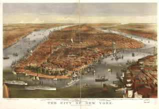
The city of New York
$
17.95
–
$
47.95
The city of New York
$
17.95
–
$
47.95
The city of New York
$
17.95
–
$
47.95
The city of New York
$
17.95
–
$
47.95
The city of New York
$
17.95
–
$
47.95
The city of San Francisco. Birds eye view from the bay looking south-west.
$
17.95
–
$
47.95
The city of Vineland, New Jersey, 1885.
$
17.95
–
$
47.95
The City of Washington : Birds-Eye view from the Potomac-looking North.
$
17.95
–
$
47.95
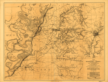
The country between Millikens Bend, La. and Jackson, Miss.
$
17.95
–
$
47.95
The country embracing the various routes surveyed for the Western & Atlantic Rail Road of Georgia
$
17.95
–
$
47.95
1
2
3
…
15
16
17
18
19
20
Load More
All products loaded.
Search Product or SKU
×
Home
All Products
Historic Maps
American Indian Maps
Birds Eye View Maps
Civil War Maps
Panoramic Maps
Railroad Maps
Revolutionary War Maps
State Maps
Historic Prints
Civil War Prints
Civil War Posters
Historic Portraits
Presidential Portraits
Contact Us
Cart
0
Cart
Close
Updating…
No products in the cart.
Continue shopping