CREATED/PUBLISHED [1769?] NOTES Scale ca. 1:740,000.

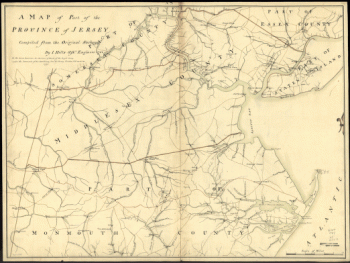
Lines run in the Jersies for determining boundaries between that Province & New York.
$17.95 – $47.95
SKU: smnj29
Related products
-

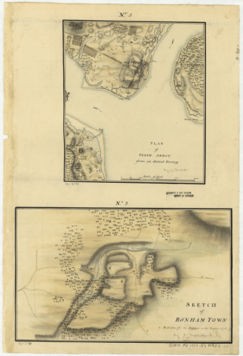
Plan of Perth Amboy from an actual survey. Sketch of Bonham Town
$17.95 – $47.95 -
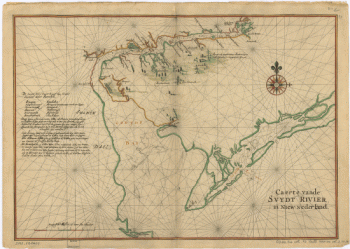
Caert vande Svydt Rivier in Niew Nederland.
$17.95 – $47.95