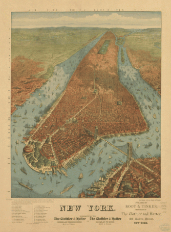
New York
-

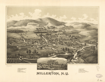
1887 Millerton, N.Y.
Price range: $39.95 through $69.95 -
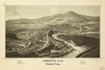
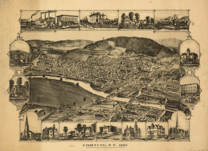
1888 Corinth, N.Y. and Palmer Falls. Drawn and published by L. R. Burleigh. Burleigh Lith. Est.
Price range: $39.95 through $69.95 -
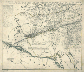
A chorographical map of the Northern Department of North-America
Price range: $39.95 through $69.95 -
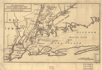
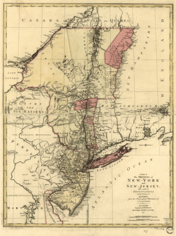
A map of the provinces of New-York and New Jersey, with a part of Pennsylvania and the Province of Quebec
Price range: $39.95 through $69.95 -
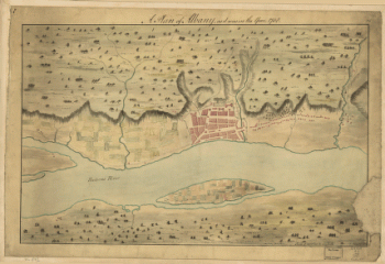
A Plan of Albany, as it was in the year 1758.
Price range: $39.95 through $69.95 -
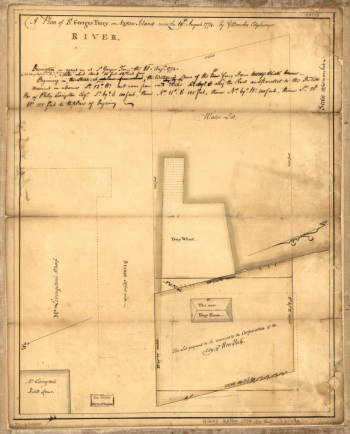
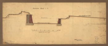
A plan of St. Georges Ferry on Nassau-Island made the 10th August 1774, by G. Bancker, city surveyor.
Price range: $39.95 through $69.95 -
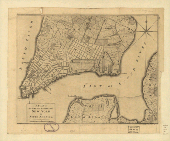
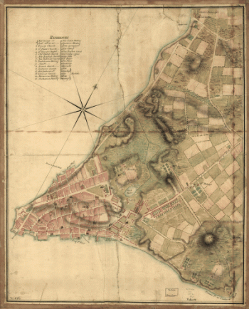
A plan of the city and environs of New York in North America.
Price range: $39.95 through $69.95 -
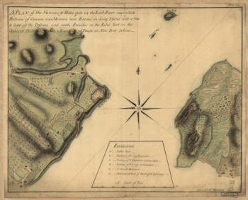
A plan of the Narrows of Hells-gate in the East River
Price range: $39.95 through $69.95 -
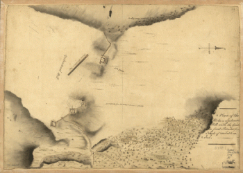
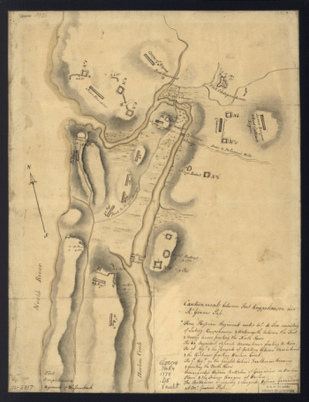
A Plan of the works on Spikendevil Hill with the ground in front, protracted from a scale of 200 feet to an inch
Price range: $39.95 through $69.95 -
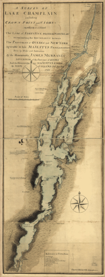
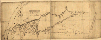
A survey of Lake Champlain including Crown Point and St. Iohn's
Price range: $39.95 through $69.95 -
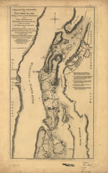
A topographical map of the northn. part of New York Island
Price range: $39.95 through $69.95 -
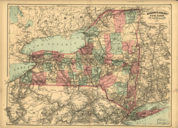
Asher & Adams' New York and part of Ontario.
Price range: $39.95 through $69.95 -
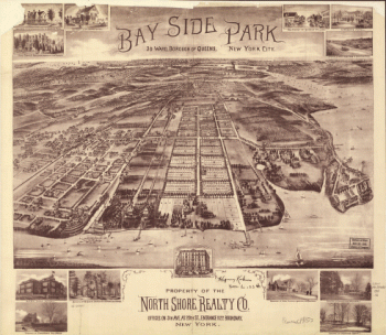
Bay Side Park, 3d ward, borough of Queens, New York City.
Price range: $39.95 through $69.95 -
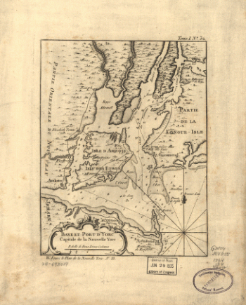
Baye et port d'Yorc, capitale de la Nouvelle Yorc.
Price range: $39.95 through $69.95 -
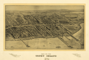
Bird's eye view Coney Island.
Price range: $39.95 through $69.95 -
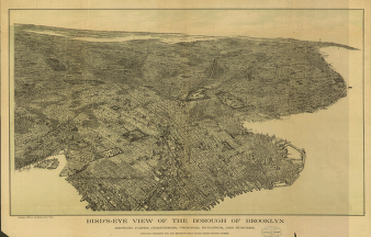
Bird's-eye view of the borough of Brooklyn
Price range: $39.95 through $69.95 -
Bird's-eye-view of Brooklyn] Compliments of Woldmere Realty Co.
Price range: $39.95 through $69.95 -
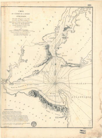
Carte de l'entrée de la rivière d'Hudson, dépuis Sandy-Hook jusques à New-York avec les bancs, sondes, marques de navigation
Price range: $39.95 through $69.95 -
City of New York
Price range: $39.95 through $69.95 -
Cram's township and rail road map of New York.
Price range: $39.95 through $69.95 -
Designs for fortifying Governors Island near New York.
Price range: $39.95 through $69.95 -
Disposition of British troops, with fortifications north of Fort Knipehausen, i.e. Fort Washington to Fort Independence.
Price range: $39.95 through $69.95 -
Draft of the lands disputed by Philipse Patent against Beekmans & Rambaults.
Price range: $39.95 through $69.95 -
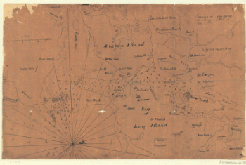
Environs de New-York, de Long-Island, etc.
Price range: $39.95 through $69.95 -
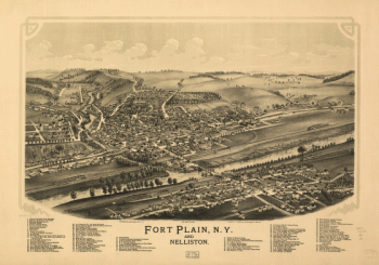
Fort Plain, N.Y. and Nelliston. Burleigh Lithographing Establishment.
Price range: $39.95 through $69.95 -
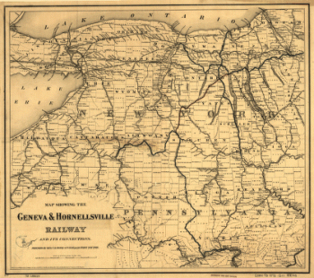
Geneva & Hornellsville Railroad and its connections
Price range: $39.95 through $69.95 -
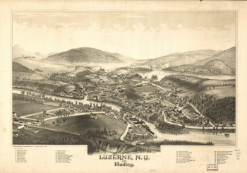
Luzerne, N.Y. and Hadley. Drawn & published by L. R. Burleigh.
Price range: $39.95 through $69.95 -
Manatvs gelegen op de Noot [sic] Riuier.
Price range: $39.95 through $69.95 -
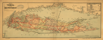
Map of Long Island showing the Long Island Railroad and its leased lines
Price range: $39.95 through $69.95 -
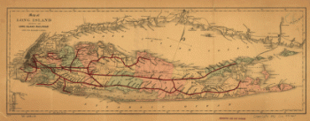
Map of Long Island showing the Long Island Railroad.
Price range: $39.95 through $69.95 -
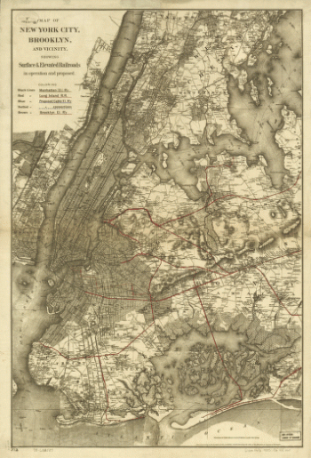
Map of New York City, Brooklyn, and vicinity showing surface & elevated railroads in operation and proposed
Price range: $39.95 through $69.95 -
Map of Orange and Rockland counties area of New York
Price range: $39.95 through $69.95 -
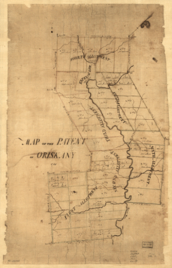
Map of the patent of Oriskany.
Price range: $39.95 through $69.95 -
Map of the progress of His Majesty's armies in New York, during the late campaign, illustrating the accounts.
Price range: $39.95 through $69.95 -
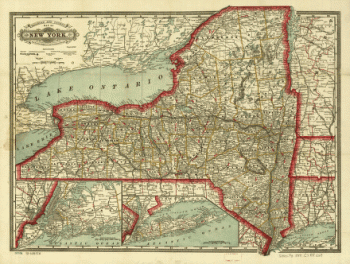
Map of the railroads of New York
Price range: $39.95 through $69.95 -
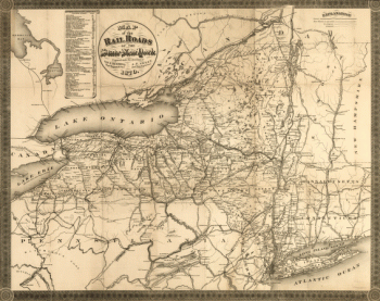
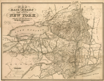
Map of the railroads of the state of New York
Price range: $39.95 through $69.95 -
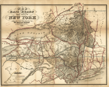
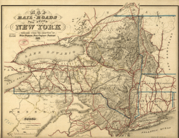
Map of the railroads of the state of New York
Price range: $39.95 through $69.95 -
Map of the railroads of the state of New York
Price range: $39.95 through $69.95 -
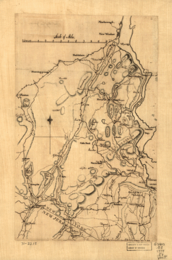
Map of the roads from New Rochelle to Kingstreet, Westchester County.
Price range: $39.95 through $69.95 -
Map showing the Bowery Lane area of Manhattan.
Price range: $39.95 through $69.95 -
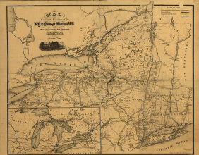
Map showing the location of the N.Y. & Oswego Midland R.R. with existing and proposed connection, January 1st 1869
Price range: $39.95 through $69.95 -
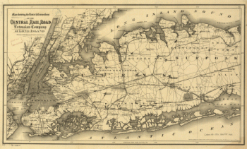
Map showing the route & connections of the Central Rail Road Extension Company of Long Island.
Price range: $39.95 through $69.95 -
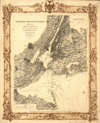
New York City and environs.
Price range: $39.95 through $69.95 -
New York. J. W. Williams, del.
Price range: $39.95 through $69.95 -
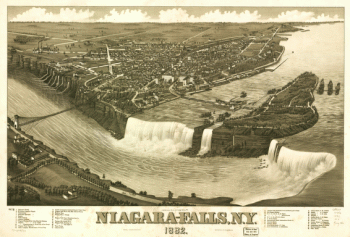
Niagara-Falls, N.Y. 1882. H. Wellge del. Beck & Pauli Lith.
Price range: $39.95 through $69.95 -
Nord de l'Ile de New-York.
Price range: $39.95 through $69.95 -
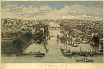
Oswego, N.Y. / Lewis Bradley del. ; on stone by D.W. Moody.
Price range: $39.95 through $69.95
![Bird's-eye-view of Brooklyn] Compliments of Woldmere Realty Co.](https://www.ushistoricalarchive.com/wp-content/uploads/nc/data/products/im/sm/ny/b38-350x370.gif)
![Manatvs gelegen op de Noot [sic] Riuier.](https://www.ushistoricalarchive.com/wp-content/uploads/nc/data/products/im/sm/ny/b1-350x251.gif)