Home
All Products
Historic Maps
American Indian Maps
Birds Eye View Maps
Civil War Maps
Panoramic Maps
Railroad Maps
Revolutionary War Maps
State Maps
Historic Prints
Civil War Prints
Civil War Posters
Historic Portraits
Presidential Portraits
Contact Us
0
0
press
Enter
to search
Showing all results:
No products found.
State Maps
Search
Search Product or SKU
×
Sort By
Default
Price: Low to High
Price: High to Low
Alphabetical
SKU
Categories
All
American Indian Maps
American Indian Photos
Birds Eye View Maps
CD Collections
Civil War Maps
Civil War Posters
Civil War Prints
Panoramic Maps
Photo-chromes
Presidential Portraits
Railroad Maps
Revolutionary War Maps
St. Augustine
State Maps
Alabama
California
Canada
Georgia
Louisiana
Michigan
New Hampshire
New Jersey
New York
New York City
North Carolina
Ohio
South Carolina
Tennessee
Texas
Washington DC
Showing
“State Maps”
Route of marches of the army of Genl. W. T. Sherman, from Atlanta, Ga. to Goldsboro, N.C. [1861-65]
$
17.95
–
$
47.95
Route of the Pacific and Atlantic Rail Road between San Francisco, & San Jose
$
17.95
–
$
47.95
Route of the proposed rail road from the Copper and Iron Mining District of Lake Superior
$
17.95
–
$
47.95
Rutherford, New Jersey 1904.
$
17.95
–
$
47.95
S.E. portion of Virginia and N.E. portion of N'th Carolina
$
17.95
–
$
47.95
Sacramento city, Ca. from the foot of J. Street, showing I., J., & K. Sts. with the Sierra Nevada in the distance
$
17.95
–
$
47.95
Saginaw City [Michigan 1867] Drawn from nature by A. Ruger.
$
17.95
–
$
47.95
Saint Johns, Clinton Co., Michigan 1868. Drawn by A. Ruger.
$
17.95
–
$
47.95
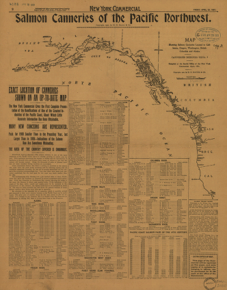
Salmon Canneries of the Pacific Northwest
$
17.95
–
$
47.95
Salmon Falls, Strafford Co., New Hampshire 1877.
$
17.95
–
$
47.95
San Francisco Bird's-eye view / drawn & lithographed by C.B. Gifford.
$
17.95
–
$
47.95
San Francisco.
$
17.95
–
$
47.95
San Jose, California. Copyright by N. J. Stone. Lith. Britton & Rey.
$
17.95
–
$
47.95
San Mateo Park.
$
17.95
–
$
47.95
Sandusky, Ohio. Gugler Litho. Co.
$
17.95
–
$
47.95
Savannah and its environs.
$
17.95
–
$
47.95
Schaghticoke, N.Y.
$
17.95
–
$
47.95
Schönberg's map of Texas.
$
17.95
–
$
47.95
Scio, Harrison County, Ohio
$
17.95
–
$
47.95
Scio, Harrison County, Ohio 1899
$
17.95
–
$
47.95
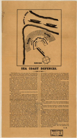
Sea coast defences
$
17.95
–
$
47.95
Seaboard & Raleigh Railroad and its connections
$
17.95
–
$
47.95
Several routes proposed for the passage of gunboats to the Lakes via: Erie and Oswego Canal
$
17.95
–
$
47.95
Shasta, Shasta County, Cal. drawn by Kuchel & Dresel ; print by Britton & Rey.
$
17.95
–
$
47.95
Sherman & Smith's railroad, steam boat & stage route map of New England, New-York and Canada
$
17.95
–
$
47.95
Sherman's campaign from Chattanooga to Atlanta from 1864
$
17.95
–
$
47.95
Shiloh National Military Park, Tenn.
$
17.95
–
$
47.95
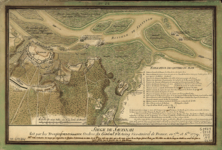
Siège de Savannah
$
17.95
–
$
47.95
Siege operations at Spanish Fort, Mobile Bay, by the U.S. forces under Maj. Gen. Canby
$
17.95
–
$
47.95
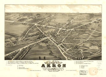
Sixth ward of Akron, formerly Middlebury, Summit Co., Ohio 1882. Beck & Pauli, lithographers.
$
17.95
–
$
47.95
Skecth [sic] of the road from Kings Bridge to White Plains.
$
17.95
–
$
47.95
Skeleton map
$
17.95
–
$
47.95
Sketch of Brunswick. Sketch of the ground near Mr. Low's at Rariton Landing.
$
17.95
–
$
47.95
Sketch of Charleston Harbor By W. A. Williams, Civil Engineer.
$
17.95
–
$
47.95
Sketch of Fort De Russy, Louisiana Surveyed by C. Fendall, Sub Assist.
$
17.95
–
$
47.95
Sketch of Haddonfield
$
17.95
–
$
47.95
Sketch of sea coast of South Carolina and Georgia from Bull's Bay to Ossabaw Sound
$
17.95
–
$
47.95
Sketch of sea coast of South Carolina and Georgia from Bull's Bay to Ossabaw Sound
$
17.95
–
$
47.95
Sketch of Stoney & Verplank's Points upon the North River
$
17.95
–
$
47.95
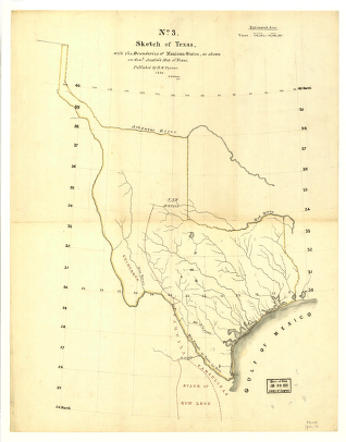
Sketch of Texas with the boundaries of Mexican States
$
17.95
–
$
47.95
Sketch of the Atlantic coast of the United States from Savannah River to St. Mary's River
$
17.95
–
$
47.95
Sketch of the battles of Chattanooga, Nov. 23-26, 1863 U.S. Coast Survey Office, A. D. Bache Supdt
$
17.95
–
$
47.95
Sketch of the coast of North Carolina from Oregon Inlet to Ocracoke Inlet.
$
17.95
–
$
47.95
Sketch of the country illustrating the late engagement in Long Island.
$
17.95
–
$
47.95
Sketch of the environs of Shelbyville, Wartrace & Normandy, Tennessee
$
17.95
–
$
47.95
Sketch of the Heights of Kingsbridge 1777, with the proposed redoubts coloured orange
$
17.95
–
$
47.95
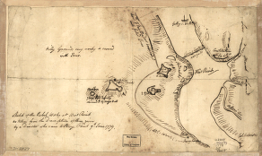
Sketch of the rebel works at West Point
$
17.95
–
$
47.95
Sketch of the two breakwaters above Alexandria in the Red River
$
17.95
–
$
47.95
1
2
3
…
14
15
16
17
18
19
20
Load More
All products loaded.
Search Product or SKU
×
Home
All Products
Historic Maps
American Indian Maps
Birds Eye View Maps
Civil War Maps
Panoramic Maps
Railroad Maps
Revolutionary War Maps
State Maps
Historic Prints
Civil War Prints
Civil War Posters
Historic Portraits
Presidential Portraits
Contact Us
Cart
0
Cart
Close
Updating…
No products in the cart.
Continue shopping