Home
All Products
Historic Maps
American Indian Maps
Birds Eye View Maps
Civil War Maps
Panoramic Maps
Railroad Maps
Revolutionary War Maps
State Maps
Historic Prints
Civil War Prints
Civil War Posters
Historic Portraits
Presidential Portraits
Contact Us
0
0
press
Enter
to search
Showing all results:
No products found.
State Maps
Search
Search Product or SKU
×
Sort By
Default
Price: Low to High
Price: High to Low
Alphabetical
SKU
Categories
All
American Indian Maps
American Indian Photos
Birds Eye View Maps
CD Collections
Civil War Maps
Civil War Posters
Civil War Prints
Panoramic Maps
Photo-chromes
Presidential Portraits
Railroad Maps
Revolutionary War Maps
St. Augustine
State Maps
Alabama
California
Canada
Georgia
Louisiana
Michigan
New Hampshire
New Jersey
New York
New York City
North Carolina
Ohio
South Carolina
Tennessee
Texas
Washington DC
Showing
“State Maps”
Plan de la Nouvelle Orleans / Anonymous.
$
17.95
–
$
47.95
Plan de la ville de Quebec
$
17.95
–
$
47.95
Plan de notre camp à New Brunswick
$
17.95
–
$
47.95
Plan der stad Washington
$
17.95
–
$
47.95
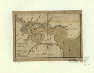
Plan du port de Portsmouth levé à vue.
$
17.95
–
$
47.95
Plan général du Fort Septentrional du Detour des Anglois, tel qu'il est présentement : [Louisiana]
$
17.95
–
$
47.95
Plan of Charleston Harbor, and its fortifications compiled by Elliot & Ames from government surveys
$
17.95
–
$
47.95
Plan of Fort Donelson and outworks : [Tennessee]
$
17.95
–
$
47.95
Plan of Fort Henry and its outworks
$
17.95
–
$
47.95
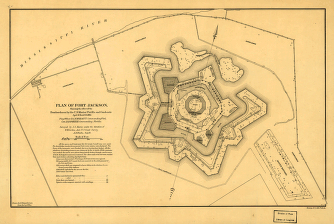
Plan of Fort Jackson
$
17.95
–
$
47.95
Plan of Fort Sumter, South Carolina : surveyed, March 20th, 22, 27, 1865
$
17.95
–
$
47.95
Plan of New Orleans
$
17.95
–
$
47.95
Plan of New Orleans the capital of Louisiana
$
17.95
–
$
47.95
Plan of New Orleans the capital of Louisiana
$
17.95
–
$
47.95
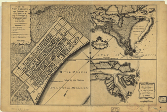
Plan of New Orleans the capital of Louisiana; with the disposition of its quarters and canals as they have been traced by Mr. de la Tour in the year 1720.
$
17.95
–
$
47.95
Plan of New York and Staten Islands with part of Long Island.
$
17.95
–
$
47.95
Plan of New York and Staten Islands with part of Long Island.
$
17.95
–
$
47.95
Plan of Perth Amboy from an actual survey. Sketch of Bonham Town
$
17.95
–
$
47.95
Plan of Princeton, Dec. 31, 1776.
$
17.95
–
$
47.95
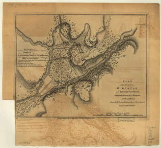
Plan of the action at Huberton under Brig. Gen. Frazer, 7th July 1777
$
17.95
–
$
47.95
Plan of the attack the rebels on Long Island, by an officer of the Army.
$
17.95
–
$
47.95
Plan of the battle of August 5, 1864. [Mobile Bay]
$
17.95
–
$
47.95
Plan of the city and suburbs of New Orleans
$
17.95
–
$
47.95
Plan of the city intended for the permanent seat of the government of the United States
$
17.95
–
$
47.95
Plan of the City of New Orleans and adjacent plantations
$
17.95
–
$
47.95
Plan of the city of New York. I. M. Comb, Junr., delt. C. Tiebout, sculpt.
$
17.95
–
$
47.95
Plan of the city of New York. I. M. Comb, Junr., delt. C. Tiebout, sculpt.
$
17.95
–
$
47.95
Plan of the city of Washington
$
17.95
–
$
47.95
Plan of the city of Washington
$
17.95
–
$
47.95
Plan of the city of Washington and territory of Columbia / engraved by W. & D. Lizars, Edin'r.
$
17.95
–
$
47.95
Plan of the city of Washington in the territory of Columbia
$
17.95
–
$
47.95
Plan of the city of Washington.
$
17.95
–
$
47.95
Plan of the country at and in the vicinity of Forts Lee and Independency, showing the position of the British Army.
$
17.95
–
$
47.95
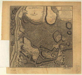
Plan of the encampment and position of the army under Lt. Gen. Burgoyne, at Braemus Heights, 20th Sept, 7th Oct 1777
$
17.95
–
$
47.95
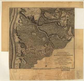
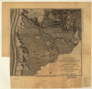
Plan of the encampment and position of the army under Lt. Gen. Burgoyne, at Braemus Heights, 8th Oct 1777
$
17.95
–
$
47.95
Plan of the encampment and position of the army under Lt. Gen. Burgoyne, at Saratoga, 10th Sept 1777
$
17.95
–
$
47.95
Plan of the encampment and position of the army under Lt. Gen. Burgoyne, at Swords House, 17th Sept 1777
$
17.95
–
$
47.95
Plan of the encampment and position of the army under Lt. Gen. Burgoyne, at Swords House, 19th Sept 1777
$
17.95
–
$
47.95
Plan of the fort and fortress at Crown Point with their environs
$
17.95
–
$
47.95
Plan of the ground situated to the north of Matamoras between the Rio Bravo & the Arroyo Colorado
$
17.95
–
$
47.95
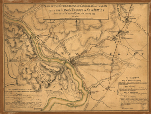
Plan of the operations of General Washington against the King's troops in New Jersey, from the 26th of December 1776 to the 3d of January 1777.
$
17.95
–
$
47.95
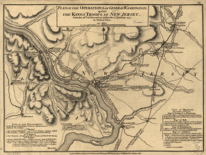
Plan of the operations of General Washington, against the Kings troops in New Jersey, from the 26th. of December, 1776, to the 3d. January 1777
$
17.95
–
$
47.95
Plan of the redoubts at Richmond on Staten Island, 30th October 1779.
$
17.95
–
$
47.95
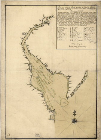
Plano de la Bahia de la Ware y entrada de Filadelfie
$
17.95
–
$
47.95
Plano del Pto. de la Movila situado en la latd. N. de 300 10' tomado á los Ings., el día 14 de marzo de 1780.
$
17.95
–
$
47.95
Plat of a survey of 2,314 acres of land, being the first large bottom on the east side of the Ohio River
$
17.95
–
$
47.95
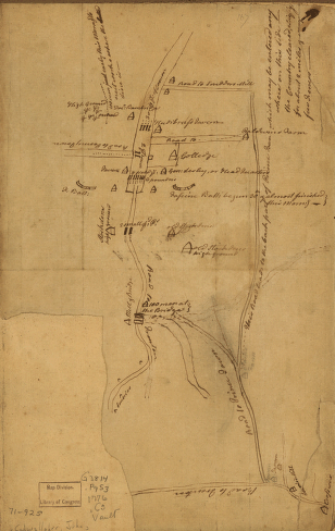
Plat of Murfreesboro. Taken from a top'l. sketch of Murfreesboro and its environs
$
17.95
–
$
47.95
Plaza de la villa de Galvez.
$
17.95
–
$
47.95
1
2
3
…
12
13
14
15
16
17
18
19
20
Load More
All products loaded.
Search Product or SKU
×
Home
All Products
Historic Maps
American Indian Maps
Birds Eye View Maps
Civil War Maps
Panoramic Maps
Railroad Maps
Revolutionary War Maps
State Maps
Historic Prints
Civil War Prints
Civil War Posters
Historic Portraits
Presidential Portraits
Contact Us
Cart
0
Cart
Close
Updating…
No products in the cart.
Continue shopping