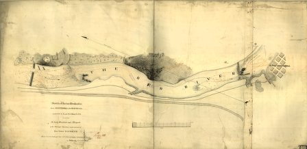
Constructed by Lieut. Col. Bailey, U.S.A., to extricate the heavy ironclads and transports of the Mississippi Squadron, under command of Rear Admiral D. D. Porter. Drawn from Col. De Russy's map and from information received from the Admiral, by F. H. Gerdes, Asst., U.S. Coast Survey. Gerdes, F. H. CREATED/PUBLISHED [1864] NOTES Scale ca. 1:2000. Detailed map showing upper and lower dams, falls, 'Tennyson's channel,' 'De Russy's Channel,' and some relief by hachures.


