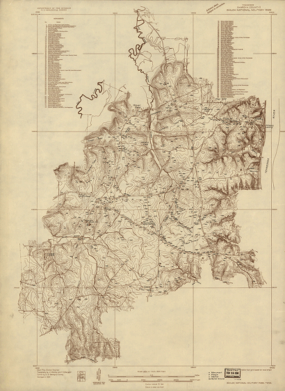
Albert Pike, Division Engineer. Topography by J. K. Bailey and F. H. Sargent. Control by U.S. Geological Survey. Surveyed in 1934. Geological Survey (U.S.) CREATED/PUBLISHED [Washington, 1934] NOTES Scale 1:9600. Title at top of sheet: Tennessee (Hardin County) Shiloh National Military Park. Detailed topographical map indicating monuments, plaques, markers, and burial grounds. One hundred forty-five monuments are listed and keyed by numbers to the map. The contour interval is 5 feet.


![Knoxville, Tenn. county seat of Knox County 1886. [Drawn by] H. Wellge. Beck & Pauli, litho.](https://www.ushistoricalarchive.com/wp-content/uploads/nc/data/products/im/sm/tn/b77-350x246.gif)