State Maps
-

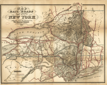
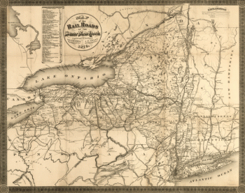
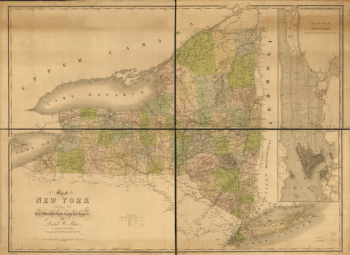
Map of the railroads of the state of New York
$17.95 – $47.95 -
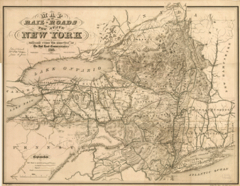
Map of the railroads of the state of New York
$17.95 – $47.95 -
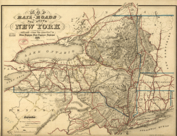
Map of the railroads of the state of New York
$17.95 – $47.95 -
Map of the railroads of New York
$17.95 – $47.95 -
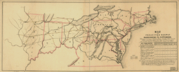
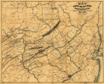
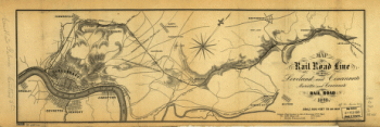
Map of the projected railway from Harrisburg to Pittsburg
$17.95 – $47.95 -
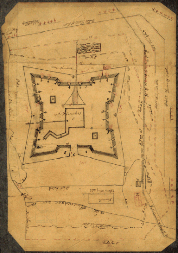
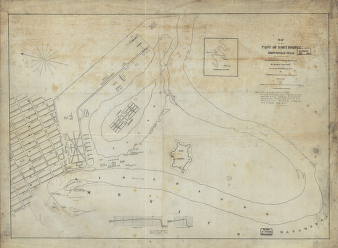
Map of the post of Fort Brown, Brownsville, Texas
$17.95 – $47.95 -
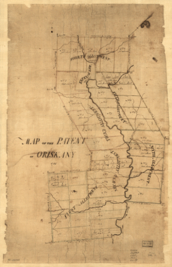
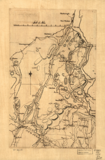
Map of the patent of Oriskany.
$17.95 – $47.95 -
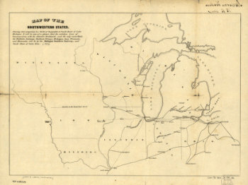
Map of the northwestern states
$17.95 – $47.95 -
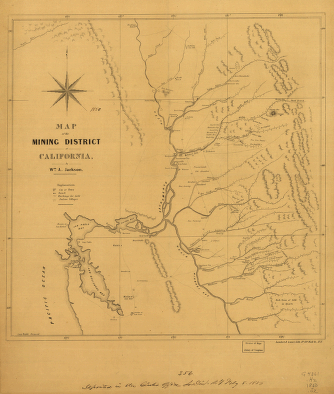
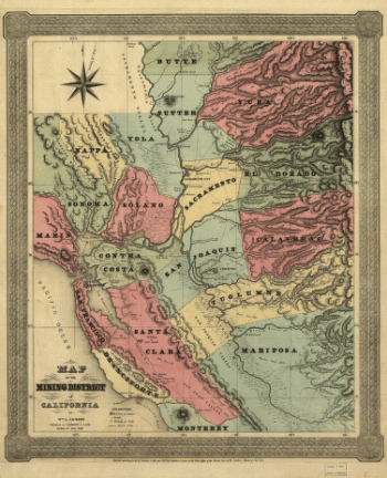
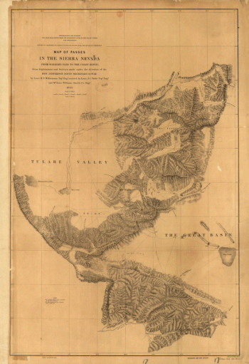
Map of the mining district of California.
$17.95 – $47.95 -
Map of the mining district of California.
$17.95 – $47.95 -
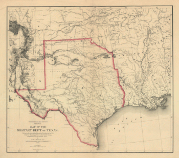
Map of the military dep't of Texas
$17.95 – $47.95 -
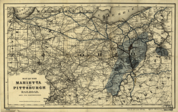
Map of the Marietta and Pittsburgh Railroad and its connections.
$17.95 – $47.95 -
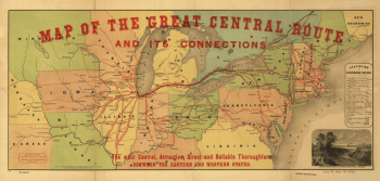
Map of the Great Central Route and its connections
$17.95 – $47.95 -
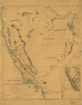
Map of the gold regions of California.
$17.95 – $47.95 -
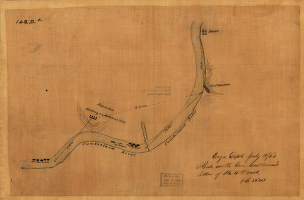
Map of the environs of Fort Donelson, Tennessee, Feb. 1862
$17.95 – $47.95 -
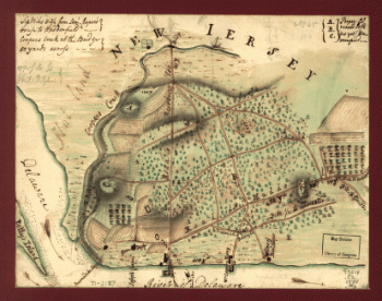
Map of the environs of Camden, N.J.
$17.95 – $47.95 -
Map of the Confederate States of America. [1861-65]
$17.95 – $47.95 -
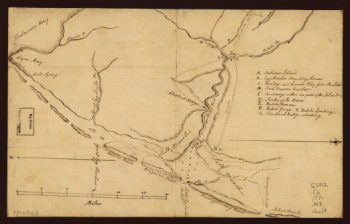
Map of the coast of New Jersey from Barnegat Inlet to Cape May.
$17.95 – $47.95 -
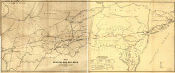
Map of the Central Ohio Railroad and connecting lines.
$17.95 – $47.95 -
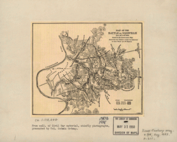
Map of the battle of Nashville
$17.95 – $47.95 -
Map of the Atlanta campaign. [May-Sept. 1864].
$17.95 – $47.95 -
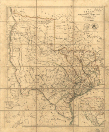
Map of Texas
$17.95 – $47.95 -
Map of Orange and Rockland counties area of New York
$17.95 – $47.95 -
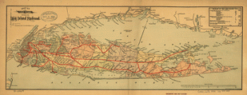
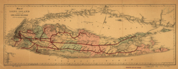
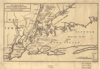
Map of Long Island showing the Long Island Railroad.
$17.95 – $47.95 -
Map of Long Island showing the Long Island Railroad.
$17.95 – $47.95 -
Map of Logan county, Ohio
$17.95 – $47.95 -
Map of Logan county, Ohio
$17.95 – $47.95 -
Map of Las Ormigas Grant, Sabine and DeSoto Parishes, Louisiana
$17.95 – $47.95 -
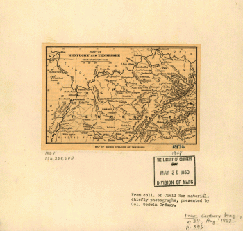
Map of Kentucky and Tennessee.
$17.95 – $47.95 -
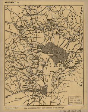
Map of fortifications and defenses of Washington
$17.95 – $47.95 -
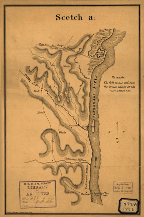
Map of Fort Henry, Tennessee, and environs
$17.95 – $47.95 -
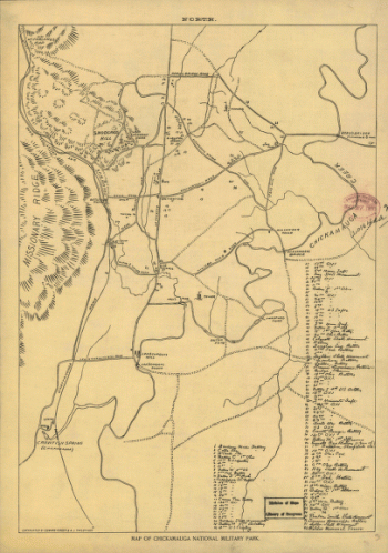
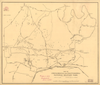
Map of Chickamauga National Military Park.
$17.95 – $47.95 -
Map of Chickamauga and Chattanooga National Military Park
$17.95 – $47.95
![Map of the environs of Savannah, Georgia. 186-] Drawn by A. Lindenkoh. Chas. G. Krebs, lith.](https://www.ushistoricalarchive.com/wp-content/uploads/nc/data/products/im/sm/sc/b35-350x465.gif)
![Map of the defences of the city of Mobile. [1862-64] Engraved in the Engineer Bureau, War Dept.](https://www.ushistoricalarchive.com/wp-content/uploads/nc/data/products/im/sm/al/b43.gif)
![Map of the Confederate States of America. [1861-65]](https://www.ushistoricalarchive.com/wp-content/uploads/nc/data/products/im/sm/ga/b75-350x492.gif)
![Map of the Atlanta campaign. [May-Sept. 1864].](https://www.ushistoricalarchive.com/wp-content/uploads/nc/data/products/im/sm/ga/b29.gif)
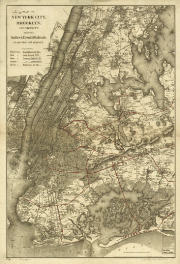
![Map of New York City, Brooklyn, and vicinity, shewing [sic] suburban lines of Long Island Railroad and its connections.](https://www.ushistoricalarchive.com/wp-content/uploads/nc/data/products/im/sm/nyc/b8-350x504.gif)