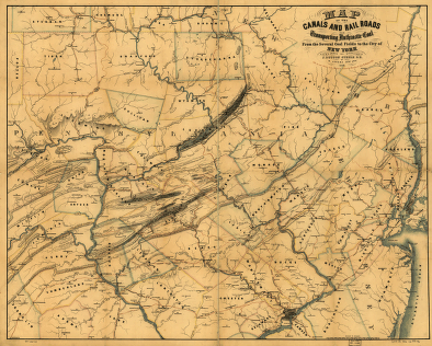
Drawn under the direction of J. Dutton Steele, C.E. by W. Lorenz, Asst. Eng. 1856. Lorenz, William, 1826-1884. CREATED/PUBLISHED Baltimore, 1856. NOTES Scale [ca. 1:325,000]. Detailed map of eastern Pennsylvania and parts of New York and New Jersey showing drainage, relief by hachures, state and county boundaries, cities, towns, and coal fields.


