State Maps
-

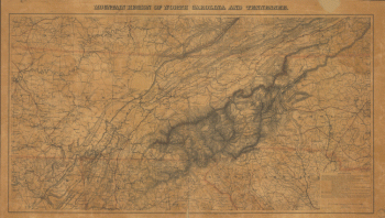
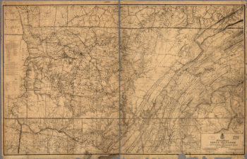
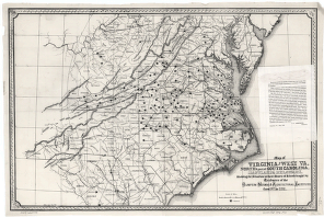
Mountain region of North Carolina and Tennessee
$17.95 – $47.95 -
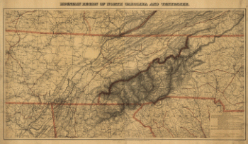
Mountain region of North Carolina and Tennessee
$17.95 – $47.95 -
Mountain region of North Carolina and Tennessee
$17.95 – $47.95 -
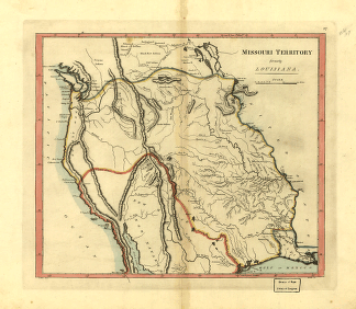
Missouri territory formerly Louisiana.
$17.95 – $47.95 -
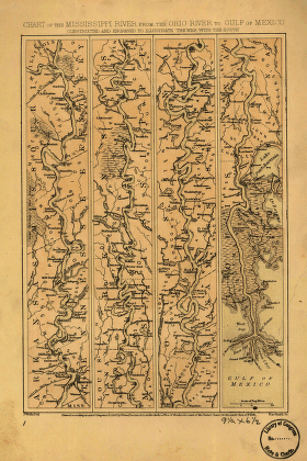
Mississippi River from the Ohio River to Gulf of Mexico
$17.95 – $47.95 -
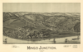
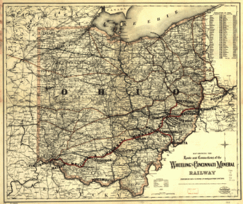
Mingo Junction, Ohio 1899
$17.95 – $47.95 -
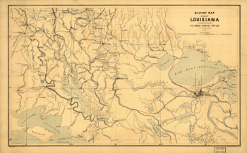
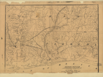
Military map of part of Louisiana
$17.95 – $47.95 -
Military map no. 54, prepared as basis for additional surveys
$17.95 – $47.95 -
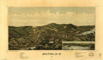
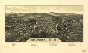
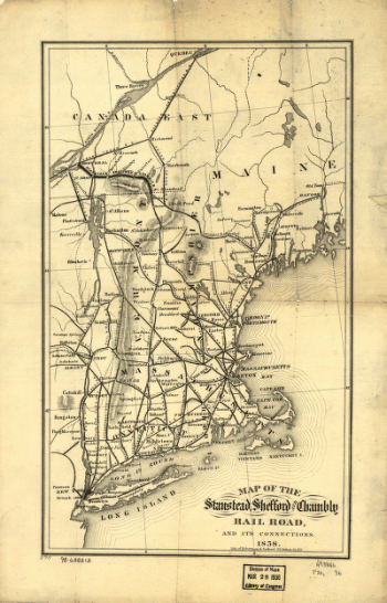
Milford, N.H. Drawn & pub. by L. R. Burleigh. C.H. Vogt.
$17.95 – $47.95 -
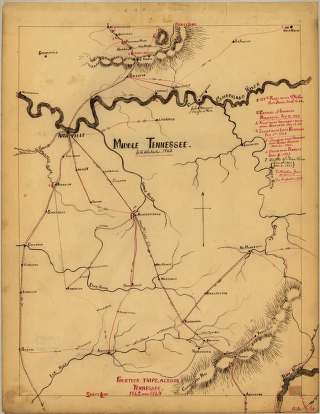
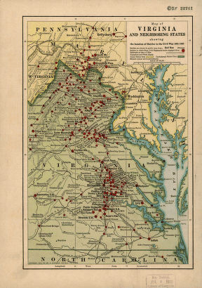
Middle Tennessee / G.H. Blakeslee–1863.
$17.95 – $47.95 -
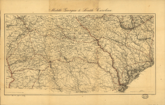
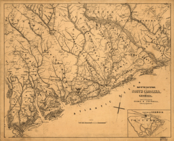
Middle Georgia & South Carolina / U.S. Coast Survey
$17.95 – $47.95 -
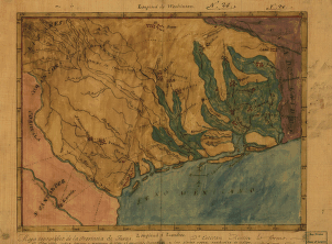
Mapa topográfico de la provincia de Texas
$17.95 – $47.95 -
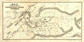
Map showing the location of Sacramento Valley Railroad, Cal.
$17.95 – $47.95 -
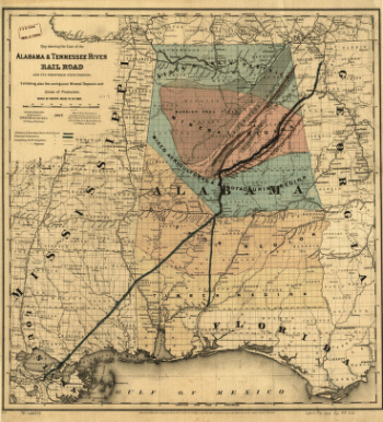
Map showing the line of the Alabama & Tennessee River Rail Road
$17.95 – $47.95 -
Map showing the Bowery Lane area of Manhattan.
$17.95 – $47.95 -
Map showing the Bowery Lane area of Manhattan.
$17.95 – $47.95 -
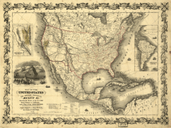
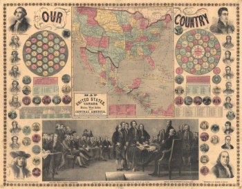
Map of the United States, the British provinces, Mexico &c.
$17.95 – $47.95 -
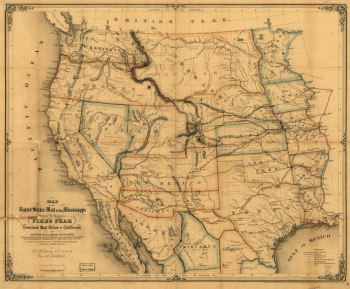
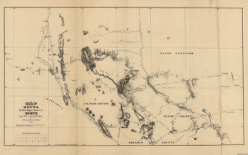
Map of the United States west of the Mississippi
$17.95 – $47.95 -
Map of the seat of war, in South Carolina, and Georgia
$17.95 – $47.95 -
Map of the seat of war, in South Carolina, and Georgia
$17.95 – $47.95 -
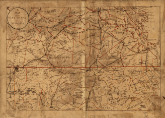
Map of the seat of war in Virginia.
$17.95 – $47.95 -
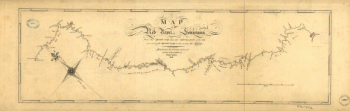
Map of the Red River in Louisiana
$17.95 – $47.95