State Maps
-

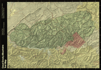
Great Smoky Mountains National Park, North Carolina/Tennessee
$17.95 – $47.95 -
Great Smoky Mountains National Park, North Carolina/Tennessee
$17.95 – $47.95 -
Great Smoky Mountains National Park, North Carolina/Tennessee
$17.95 – $47.95 -
Great Smoky Mountains National Park and vicinity.
$17.95 – $47.95 -
Great Smoky Mountains National Park and vicinity.
$17.95 – $47.95 -
Great Smoky Mountains National Park and vicinity
$17.95 – $47.95 -
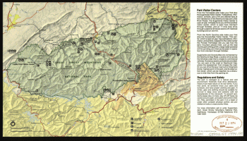
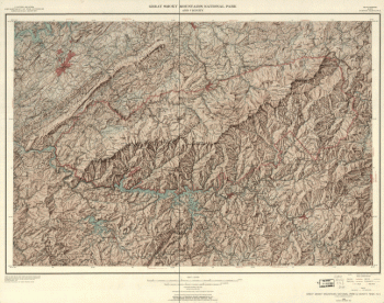
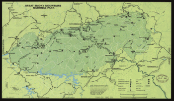
Great Smoky Mountains National Park
$17.95 – $47.95 -
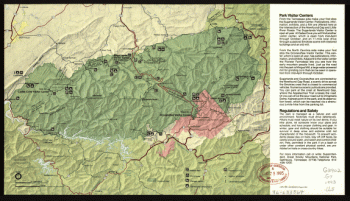
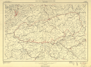
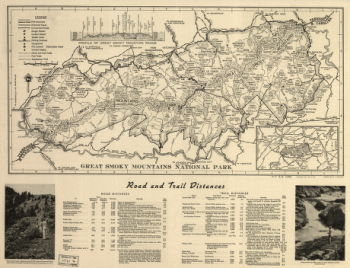
Great Smoky Mountains National Park
$17.95 – $47.95 -
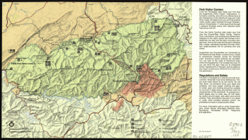
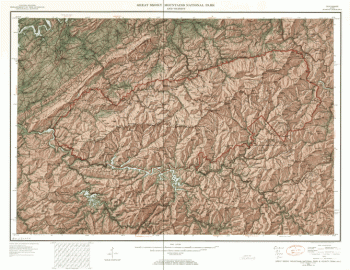
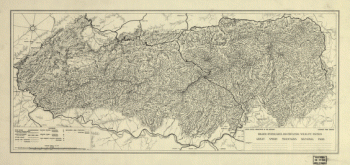
Great Smoky Mountains National Park
$17.95 – $47.95 -
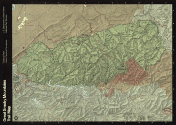
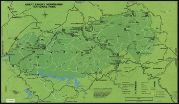
Great Smoky Mountains National Park
$17.95 – $47.95 -
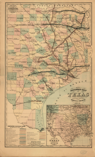
Gray's railroad map of Texas
$17.95 – $47.95 -
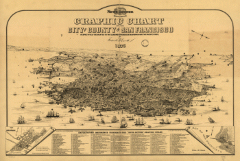
Graphic chart of the city and county of San Francisco
$17.95 – $47.95 -
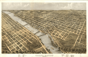
Grand Rapids, Michigan 1868. Drawn by A. Ruger.
$17.95 – $47.95 -
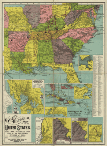
Goff's historical map of the United States
$17.95 – $47.95 -
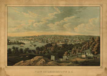
Georgetown D.C.
$17.95 – $47.95 -
Geological map of Tennessee
$17.95 – $47.95 -
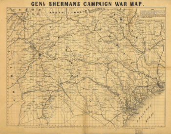
Genl. Sherman's campaign war map.
$17.95 – $47.95 -
Genl. Sherman's campaign war map.
$17.95 – $47.95 -
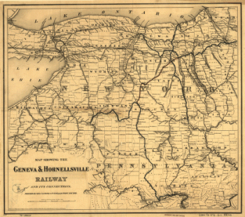
Geneva & Hornellsville Railroad and its connections
$17.95 – $47.95 -
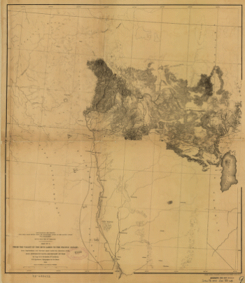
From the valley of the Mud Lakes to the Pacific Ocean.
$17.95 – $47.95 -
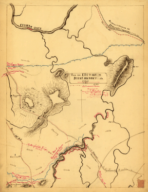
From the Etowah to Burnt-Hickory, Ga.
$17.95 – $47.95 -
From Mitchelsville [sic] to Gallatin–Sumner Co., Tenn., 1862
$17.95 – $47.95 -
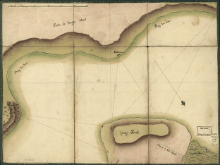
Frog's Point avec batteries de Partie de Longue Island.
$17.95 – $47.95 -
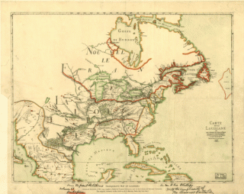
Franquelin's map of Louisiana.
$17.95 – $47.95 -
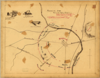
Franklin, Tennessee
$17.95 – $47.95 -
Fort Sumter, South Carolina
$17.95 – $47.95 -
Fort McAllister, Dec. 1864
$17.95 – $47.95 -
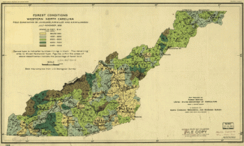
Forest conditions of western North Carolina.
$17.95 – $47.95 -
Field works at Franklin, Tenn.
$17.95 – $47.95 -
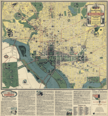
Esso pictorial guide to Washington, D.C., and vicinity : 1942
$17.95 – $47.95 -
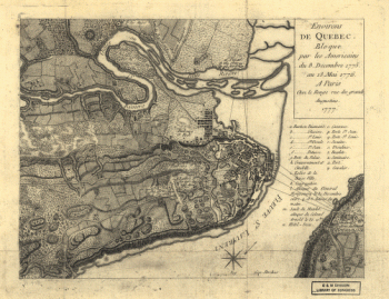
Environs de Quebec
$17.95 – $47.95 -
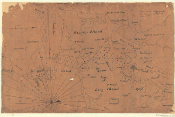
Environs de New-York, de Long-Island, etc.
$17.95 – $47.95 -
Environs de New-York, de Long-Island, etc.
$17.95 – $47.95 -
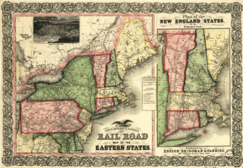
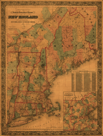
Ensign, Bridgman & Fanning's rail road map of the Eastern States
$17.95 – $47.95

![General Buell's map of the battle-field of Shiloh. [April 6-7, 1862]](https://www.ushistoricalarchive.com/wp-content/uploads/nc/data/products/im/sm/tn/b67-350x287.gif)
![From Mitchelsville [sic] to Gallatin--Sumner Co., Tenn., 1862](https://www.ushistoricalarchive.com/wp-content/uploads/nc/data/products/im/sm/tn/b51-350x273.gif)
![Franklin and Franklin Falls, N.H., Merrimack County, 1884. [Drawn by] H. Wellge.](https://www.ushistoricalarchive.com/wp-content/uploads/nc/data/products/im/sm/nh/b21-350x263.gif)