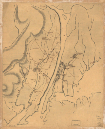
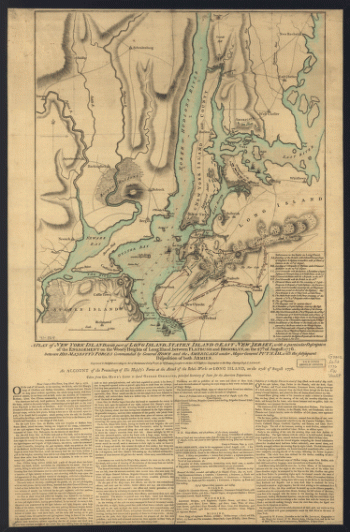
G.W. & C.B. Colton & Co. CREATED/PUBLISHED New York, 1882. NOTES Scale ca. 1:400,000. Shows all of New York City and Long Island. Indicates drainage, cities and towns, township and county boundaries, and the railroad network. Chartered on April 24, 1834.
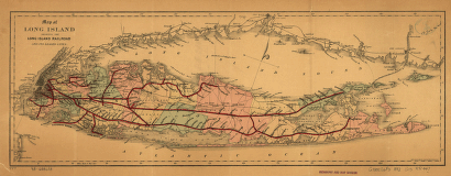
Map of Long Island showing the Long Island Railroad and its leased lines.
$17.95 – $47.95
SKU: smnyc7
Related products
-

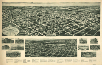
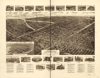
Aero-view of Valley Stream, Long Island 1924.
$17.95 – $47.95