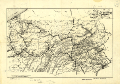
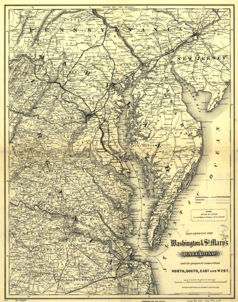
Map of the Philadelphia and Erie Railway, branches and connecting lines. Map of Pennsylvania showing relief by hachures, drainage, cities and towns, and the railroad network with lines named. Gwinner, Henry W. CREATED/PUBLISHED Philadelphia, 1871. Scale ca. 1:1,000,000.


