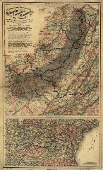
Maps showing the connections of the Northern and Southern West Virginia Railroad, with the three grand trunk railways which unite the Atlantic seaboard with the Ohio River. Main map shows central West Virginia including drainage, cities and towns, the coal region, and the railroads. General map shows northeastern United States with its railroad network. G.W. & C.B. Colton & Co. CREATED/PUBLISHED New York, 1873. Scale 1:760,320.


