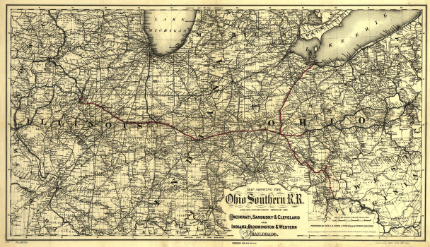
Map showing the Ohio Southern R.R. and its connections through the Cincinnati, Sandusky & Cleveland and Indiana, Bloomington & Western Railroads. Map of the midwestern states showing drainage, cities and towns, townships, counties, and railroad network including proposed lines. Emphasizes main lines. G.W. & C.B. Colton & Co. CREATED/PUBLISHED New York, 1881. Scale 1:1,267,200.


