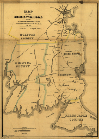
Map of the Old Colony Rail Road with its branches & connecting roads, prepared under the direction of the Committee of Investigation, Jany. 1850, S. Dwight Eaton, Engr. Map of eastern Massachusetts covering the area from Boston to Wood's Hole and west to Providence, R.I. Shows drainage, place names and counties, and indicates mileage between stations. The Old Colony Railroad is double-tracked from Boston, south to South Braintree. The line was incorporated in 1844. Ferguson, W. E. CREATED/PUBLISHED [Boston], 1850. Scale ca. 1:150,000.


