G.W. & C.B. Colton & Co. CREATED/PUBLISHED New York, 1881. NOTES Scale 1:1,267,200. Inset: United States and Mexico, 27 x 30 cm. Midwestern states showing drainage, cities and towns, township and county boundaries, coal in Illinois, Indiana, and Ohio. Includes the railroad system with emphasis on the main line.
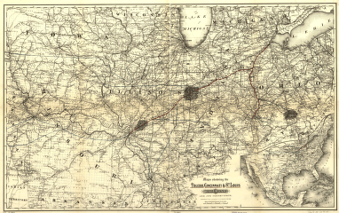
Maps showing the Toledo, Cincinnati, & St. Louis Railroad and its connections, 1881.
Price range: $39.95 through $69.95
SKU: smoh85
Related products
-

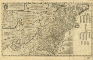
A map of the middle British colonies in North America
Price range: $39.95 through $69.95 -
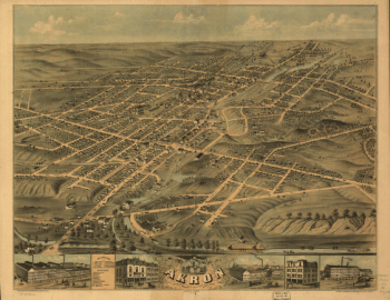
Bird's eye view of the city of Akron, Summit County, Ohio 1870. Drawn by A. Ruger. Chicago Lithographing Co.
Price range: $39.95 through $69.95 -
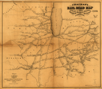
man's rail road map of Ohio, Indiana, Michigan, Illinois, Missouri, Minnesota, & Wisconsin.
Price range: $39.95 through $69.95 -
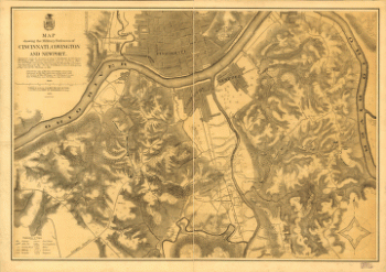
Map showing the military defences of Cincinnati, Covington and Newport
Price range: $39.95 through $69.95