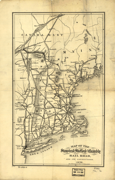
Robertson & Seibert. CREATED/PUBLISHED N[ew] Y[ork], 1858. NOTES Scale ca. 1:2,250,000. Description derived from published bibliography. SUMMARY Map of the New England states and part of Canada showing the railroad network, relief by hachures, and place names.


