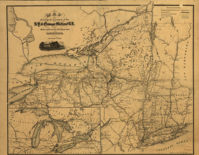
[by Van R. Richmond, State Engr. & Surv.] CREATED/PUBLISHED New York, 1869. SUMMARY Map of New York State and vicinity showing drainage, canals, cities and towns, and named railroads. January 1st, 1870 edition has 'W. B. Gilbert, Chief Engineer.' NOTES Scale ca. 1:1,000,000. Inset: [Great Lakes]


