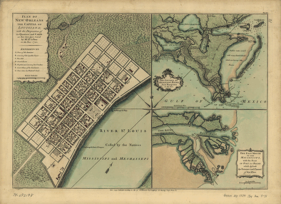
With the disposition of its quarters and canals as they have been traced by Mr. de la Tour in the year 1720. Jefferys, Thomas, d. 1771. CREATED/PUBLISHED [London] 1759. NOTES Scale ca. 1:5,000. 'Pa. 148.' Insets: The course of Mississipi River, from Bayagoulas to the sea [ca. 1:800,000]–The east mouth of the Mississipi, with the plan of Fort la Balise which defends the entrance and channel of that river [ca. 1:40,000]


