Revolutionary War Maps
-

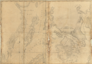
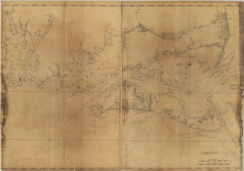
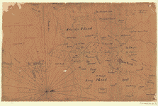
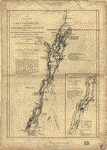
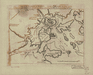
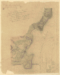
Coast of Maine showing Blue Hill Bay, Penobscot Bay, Belfast Bay, Islesboro Island, Deer Island, and other islands
Price range: $39.95 through $69.95 -
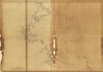
Coast of Massachusetts from Cape Ann to Manomet Point, including northern tip of Cape Cod
Price range: $39.95 through $69.95 -
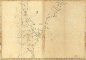
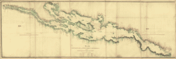
Coast of New England from Cape Elizabeth, Me to Newburyport, Mass
Price range: $39.95 through $69.95 -
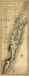
Coast of New England from Chatham Harbor to Narragansett Bay
Price range: $39.95 through $69.95 -
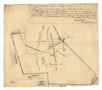
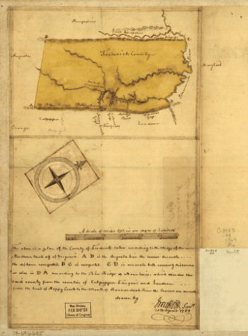
Colchester, May the: 6:th: Day: AD: 1765
Price range: $39.95 through $69.95 -
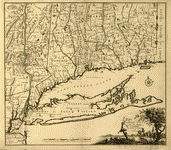
Connecticut and parts adjacent
Price range: $39.95 through $69.95 -
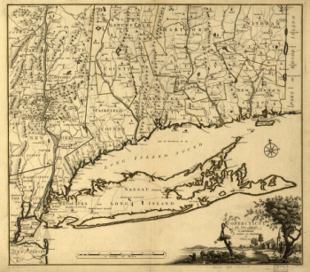
Connecticut and parts adjacent At Amsterdam by Covens and Mortier and Covens Junior H Klockhoff, sculp
Price range: $39.95 through $69.95 -
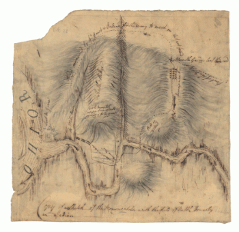
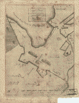
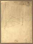
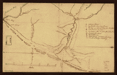
Copy of a sketch of the Monongahela, with the field of battle, done by an Indian
Price range: $39.95 through $69.95 -
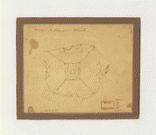
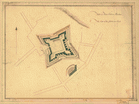
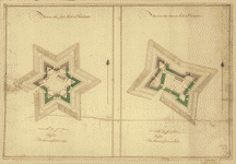
Design for Governor's Island
Price range: $39.95 through $69.95 -
Designs for fortifying Governors Island near New York
Price range: $39.95 through $69.95 -
Disposition of British troops, with fortifications north of Fort Knipehausen, ie Fort Washington to Fort Independence
Price range: $39.95 through $69.95 -
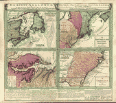
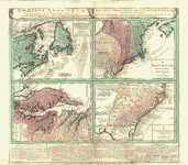
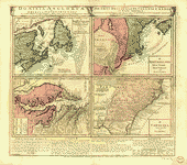
Dominia Anglorum in America Septentrionali
Price range: $39.95 through $69.95 -
Dominia Anglorum in America Septentrionali
Price range: $39.95 through $69.95 -
Dominia Anglorum in America Septentrionali
Price range: $39.95 through $69.95 -
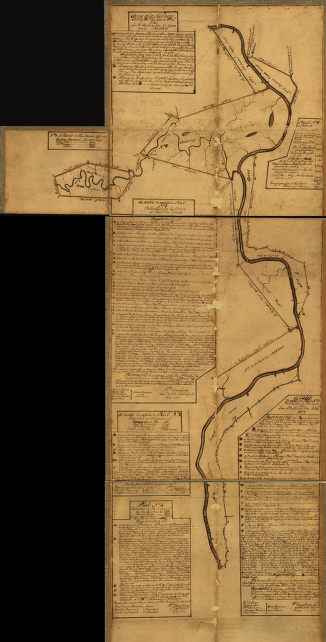
Eight survey tracts along the Kanawha River, WVa showing land granted to George Washington and others
Price range: $39.95 through $69.95 -
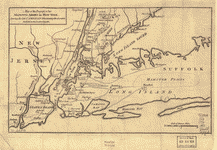
Environs de New-York, de Long-Island, etc
Price range: $39.95 through $69.95 -
Exact plan of General Gage's lines on Boston Neck in America
Price range: $39.95 through $69.95 -
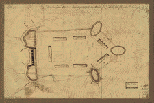
Fort on Charlestown Point
Price range: $39.95 through $69.95 -
Fort on Dorcester Point
Price range: $39.95 through $69.95 -
Fort on Fort Hill in Boston
Price range: $39.95 through $69.95 -
Fort on the first hill in Dorcester
Price range: $39.95 through $69.95 -
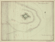
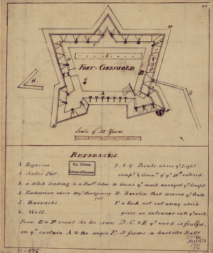
Fort-Griswold
Price range: $39.95 through $69.95 -
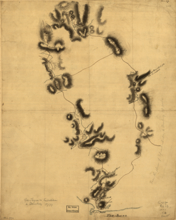
Gov Tryon's expedition to Danbury, 1777
Price range: $39.95 through $69.95 -
Grundriss von der Stadt Boston und ihren Gegenden
Price range: $39.95 through $69.95 -
Hudsons River – topographical
Price range: $39.95 through $69.95 -
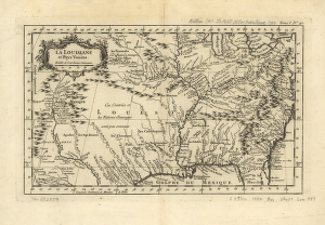
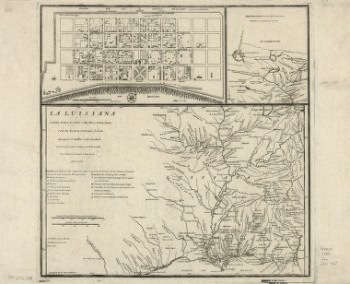
La Louisiane et pays voisins
Price range: $39.95 through $69.95 -
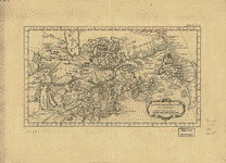
La Nouvelle France ou Canada
Price range: $39.95 through $69.95 -
Lake Champlain
Price range: $39.95 through $69.95 -
Lake Champlain from Fort St John's to Ticonderoga
Price range: $39.95 through $69.95 -
Lake Champlain including Crown Point and St Iohn's
Price range: $39.95 through $69.95 -
Lines run in the Jersies for determining boundaries between that Province & New York
Price range: $39.95 through $69.95 -
Lines run in the Jersies for determining boundaries between that Province & New York
Price range: $39.95 through $69.95 -
Major Genl Howe's encampment on Bunkers Hill
Price range: $39.95 through $69.95 -
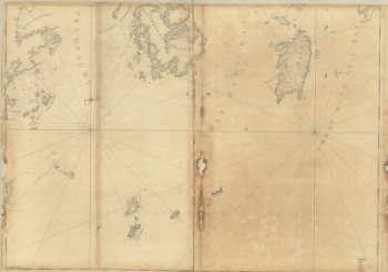
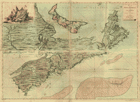
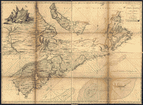
Map of Nova Scotia, or Acadia, with the islands of Cape Breton and St John's
Price range: $39.95 through $69.95 -
Map of Nova Scotia, or Acadia, with the islands of Cape Breton and St John's
Price range: $39.95 through $69.95 -
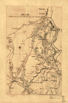
Map of Orange and Rockland counties area of New York
Price range: $39.95 through $69.95 -
Map of that part of Orange County lying to the north of the mountains of the highlands
Price range: $39.95 through $69.95 -
Map of the coast of New Jersey from Barnegat Inlet to Cape May
Price range: $39.95 through $69.95 -
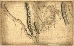
Map of the county of Frederick, 1769 Drawn by J Moffett
Price range: $39.95 through $69.95 -
Map of the environs of Boston
Price range: $39.95 through $69.95 -
Map of the environs of Roxbury
Price range: $39.95 through $69.95 -
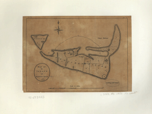
Map of the island of Nantucket
Price range: $39.95 through $69.95 -
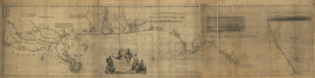
Map of the progress of His Majesty's armies in New York
Price range: $39.95 through $69.95 -
Map of West Florida B Romans, inv delin & in AEre incidit
Price range: $39.95 through $69.95 -
Map showing the Bowery Lane area of Manhattan
Price range: $39.95 through $69.95 -
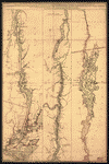
Map showing the west shore of the North or Hudson River
Price range: $39.95 through $69.95