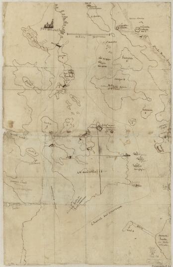
Foot, Israel. CREATED/PUBLISHED [1765]

Colchester, May the: 6:th: Day: AD: 1765
$17.95 – $47.95
SKU: rwne1
Related products
-

Portsmouth, New Hampshire
$17.95 – $47.95 -
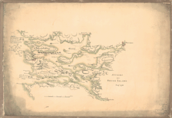
Attacks upon Rhode Island, Augt 1778
$17.95 – $47.95 -
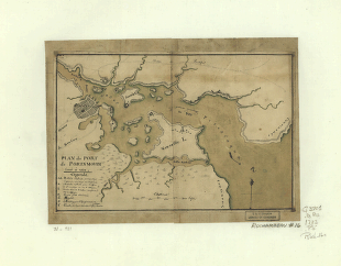
Plan du port de Portsmouth leve a vue
$17.95 – $47.95