CREATED/PUBLISHED [1781?] NOTES Scale ca. 1:720.

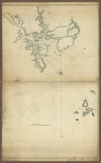
Fort-Griswold
$17.95 – $47.95
SKU: rwne3
Related products
-

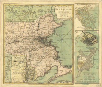
New Hampshire
$17.95 – $47.95 -
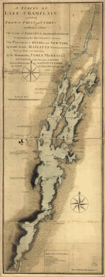
A survey of Lake Champlain
$17.95 – $47.95
$17.95 – $47.95
SKU: rwne3
CREATED/PUBLISHED [1781?] NOTES Scale ca. 1:720.