Canada
-

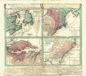
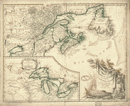
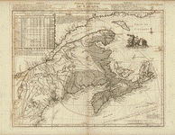
A map of Canada and the north part of Louisiana
Price range: $39.95 through $69.95 -
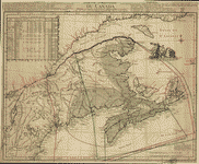
A map of Canada and the north part of Louisiana
Price range: $39.95 through $69.95 -
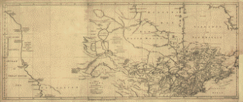
A map of the north west parts of America
Price range: $39.95 through $69.95 -
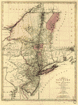
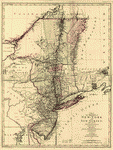
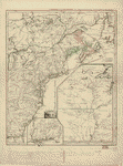
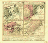
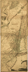
A map of the provinces of New-York and New Jersey
Price range: $39.95 through $69.95 -
A map of the provinces of New-York and New-Yersey
Price range: $39.95 through $69.95 -
A map of the sources of the Chaudière, Penobscot, and Kennebec rivers, by Montresore
Price range: $39.95 through $69.95 -
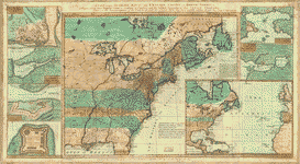
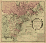
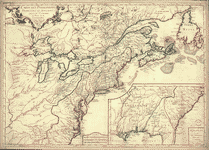
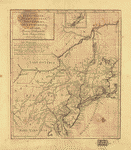
A new and accurate map of the English empire in North America
Price range: $39.95 through $69.95 -
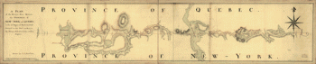
A plan of the division line between the provinces of New-York and Quebec
Price range: $39.95 through $69.95 -
A survey of Lake Champlain including Crown Point and St Iohn's
Price range: $39.95 through $69.95 -
Bowles's new pocket map of the United States of America
Price range: $39.95 through $69.95 -
Canada et Louisiane
Price range: $39.95 through $69.95 -
Canada et Louisiane
Price range: $39.95 through $69.95 -
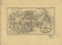
Carte des possessions francoises et angloises dans le Canada
Price range: $39.95 through $69.95 -
Carte du Canada et de la Louisiane
Price range: $39.95 through $69.95 -
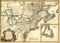
Carte du Canada et des Etats-Unis de l'Amerique Septentrionale
Price range: $39.95 through $69.95 -
Dominia Anglorum in America Septentrionali
Price range: $39.95 through $69.95 -
Dominia Anglorum in America Septentrionali
Price range: $39.95 through $69.95 -
Dominia Anglorum in America Septentrionali
Price range: $39.95 through $69.95 -
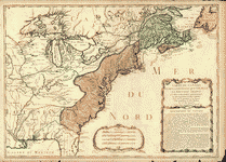
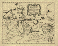
La Nouvelle France ou Canada
Price range: $39.95 through $69.95 -
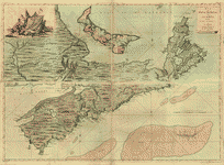
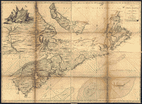
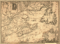
Map of Nova Scotia, or Acadia, with the islands of Cape Breton and St John's
Price range: $39.95 through $69.95 -
Map of Nova Scotia, or Acadia, with the islands of Cape Breton and St John's
Price range: $39.95 through $69.95 -
Partie de l'Amerique septent
Price range: $39.95 through $69.95 -
Partie de l'Amerique septent
Price range: $39.95 through $69.95 -
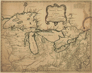
Partie occidentale de la Nouvelle France ou Canada
Price range: $39.95 through $69.95 -
Partie occidentale de la Nouvelle France ou du Canada
Price range: $39.95 through $69.95 -
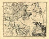
Partie orientale du Canada
Price range: $39.95 through $69.95 -
Partie orientale du Canada, traduitte de l'anglois de la carte de Jefferys publiee a Londres en May 1755
Price range: $39.95 through $69.95 -
Pensilvaniae, Novae-Caesareae, Novi-Eboraci, Aquanishuonigae et Canadae
Price range: $39.95 through $69.95 -
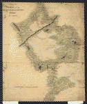
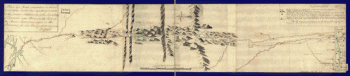
Plan of a route undertaken in winter, Jan 26th
Price range: $39.95 through $69.95 -
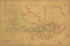
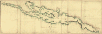
Plan, Lake Champlain from Fort St John's to Ticonderoga
Price range: $39.95 through $69.95 -
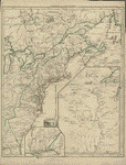
The provinces of New York and New Jersey
Price range: $39.95 through $69.95 -
The provinces of New York and New Jersey
Price range: $39.95 through $69.95 -
The provinces of New York and New Jersey
Price range: $39.95 through $69.95 -
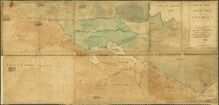
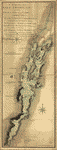
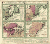
This map of the province of Nova-Scotia and parts adjacent
Price range: $39.95 through $69.95