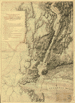
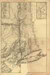
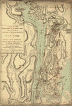
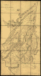
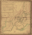
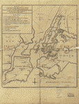
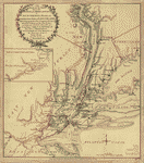
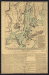
Revolutionary War Maps
-

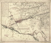
Northern Department of North-America
Price range: $39.95 through $69.95 -
Northern New Jersey – 3 Maps
Price range: $39.95 through $69.95 -
Lines run in the Jersies for determining boundaries between that Province & New York
Price range: $39.95 through $69.95 -
New York & New Jersey
Price range: $39.95 through $69.95 -
The State of New Jersey
Price range: $39.95 through $69.95 -
New York from the Hudson River west to the Unadilla Branch of the Susquehanna River
Price range: $39.95 through $69.95 -
NW parts of New York, no 156
Price range: $39.95 through $69.95 -
The Northern parts of New York
Price range: $39.95 through $69.95 -
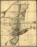
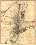
The provinces of New York, and New Jersey
Price range: $39.95 through $69.95 -
The provinces of New York, and New Jersey
Price range: $39.95 through $69.95 -
The Province of New York
Price range: $39.95 through $69.95 -
A map of the Province of New-York
Price range: $39.95 through $69.95 -
The White Plains
Price range: $39.95 through $69.95 -
A map of the Province of New York
Price range: $39.95 through $69.95 -
Operations of His Majesty's fleet and army under the command of Vice Admiral the Rt Hble Lord Viscount Howe and Genl Sr Wm Howe
Price range: $39.95 through $69.95 -
The provinces of New York, and New Jersey
Price range: $39.95 through $69.95 -
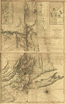
Province de New-York en 4 feuilles
Price range: $39.95 through $69.95 -
Operations of the King's army under the command of General Sr William Howe
Price range: $39.95 through $69.95 -
A map containing part of the Provinces of New York and New Jersey
Price range: $39.95 through $69.95 -
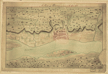
A Plan of Albany, as it was in the year 1758
Price range: $39.95 through $69.95 -
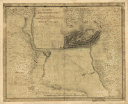
Position of the detachment under Lieut't Col Baum
Price range: $39.95 through $69.95 -
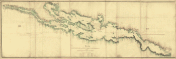
Lake Champlain from Fort St John's to Ticonderoga
Price range: $39.95 through $69.95 -
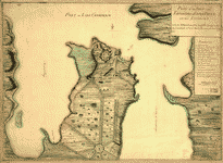
Plan of the fort and fortress at Crown Point with their environs
Price range: $39.95 through $69.95 -
The lands disputed by Philipse Patent against Beekmans & Rambaults
Price range: $39.95 through $69.95 -
Sketch of Forts Clinton & Montgomery, stormed the 6th Oct 1777
Price range: $39.95 through $69.95 -
A plan of the Forts Montgomery & Clinton
Price range: $39.95 through $69.95 -
A plan of Fort George at the city of New-York
Price range: $39.95 through $69.95 -
Plan of Carillon ou Ticonderoga
Price range: $39.95 through $69.95 -
Sketch of the Hessian attack on Fort Washington
Price range: $39.95 through $69.95 -
A plan of the attack of Fort Washington
Price range: $39.95 through $69.95 -
Northern part of New York Island
Price range: $39.95 through $69.95 -
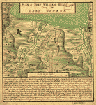
Plan of Fort William Henry and camp at Lake George
Price range: $39.95 through $69.95 -
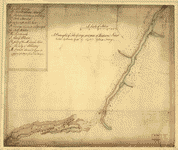
A draught of Lake George, and part of Hudson's River taken September 1756
Price range: $39.95 through $69.95 -
Plan of the attack on Fort William Henry and Ticonderoga
Price range: $39.95 through $69.95 -
Design for Governor's Island
Price range: $39.95 through $69.95 -
Designs for fortifying Governors Island near New York
Price range: $39.95 through $69.95 -
The Hudsons River
Price range: $39.95 through $69.95 -
Carte de l'entree de la rivière d'Hudson
Price range: $39.95 through $69.95 -
Old map of Brooklyn and greater part of King's County, Long Island
Price range: $39.95 through $69.95 -
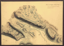
Sketch of the Heights of Kingsbridge 1777
Price range: $39.95 through $69.95 -
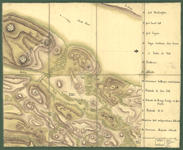
Reconnoissance de King's bridge
Price range: $39.95 through $69.95 -
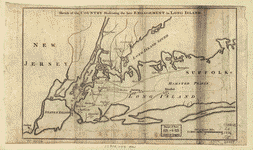
Sketch of the country illustrating the late engagement in Long Island
Price range: $39.95 through $69.95 -
Attaque de l'armee des provinciaux dans Long Island du 27 aoust 1776
Price range: $39.95 through $69.95 -
Plan of the attack the rebels on Long Island
Price range: $39.95 through $69.95 -
Plan of the attack on the provincial army on Long Island, August 27th 1776
Price range: $39.95 through $69.95 -
The seat of action, between the British and American forces
Price range: $39.95 through $69.95 -
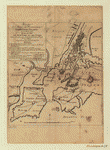
A plan of New York Island, with part of Long Island, Staten Island & east New Jersey
Price range: $39.95 through $69.95 -
A plan of New York Island, with part of Long Island, Staten Island & east New Jersey
Price range: $39.95 through $69.95