Home
All Products
Historic Maps
American Indian Maps
Birds Eye View Maps
Civil War Maps
Panoramic Maps
Railroad Maps
Revolutionary War Maps
State Maps
Historic Prints
Civil War Prints
Civil War Posters
Historic Portraits
Presidential Portraits
Contact Us
0
0
press
Enter
to search
Showing all results:
No products found.
Revolutionary War Maps
Search
Search Product or SKU
×
Sort By
Default
Price: Low to High
Price: High to Low
Alphabetical
SKU
Categories
All
American Indian Maps
American Indian Photos
Birds Eye View Maps
CD Collections
Civil War Maps
Civil War Posters
Civil War Prints
Panoramic Maps
Photo-chromes
Presidential Portraits
Railroad Maps
Revolutionary War Maps
Boston
Canada
New England
New Jersey
New York
South
St. Augustine
State Maps
Showing
“Revolutionary War Maps”
A new and accurate map of the colony of Massachusets Bay, in North America, from a late survey
$
17.95
–
$
47.95
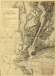
A new and accurate map of the English empire in North America
$
17.95
–
$
47.95
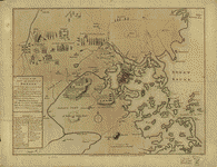
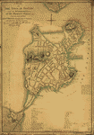
A new and correct plan of the town of Boston, and provincial camp
$
17.95
–
$
47.95
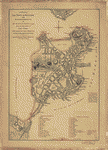
A new plan of ye great town of Boston
$
17.95
–
$
47.95
A Plan of Albany, as it was in the year 1758
$
17.95
–
$
47.95
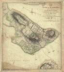
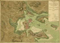
A plan of Boston in New England with its environs
$
17.95
–
$
47.95
A plan of Boston, and its environs
$
17.95
–
$
47.95
A plan of Fort George at the city of New-York
$
17.95
–
$
47.95
A plan of my farm on Little Huntg Creek & Potomk R G W
$
17.95
–
$
47.95
A plan of New York Island, with part of Long Island, Staten Island & east New Jersey
$
17.95
–
$
47.95
A plan of New York Island, with part of Long Island, Staten Island & east New Jersey
$
17.95
–
$
47.95
A plan of Pensacola and its environs in its present state, from an actual survey in 1778
$
17.95
–
$
47.95
A plan of the action at Bunkers-Hill, on the 17th of June, 1775
$
17.95
–
$
47.95
A Plan of the attack of Fort Sulivan, the key of Charlestown, in South Carolina, on the 28th of June 1776 By His Majesty's squadron, commanded by Sir Peter Parker By an officer on the spot
$
17.95
–
$
47.95
A plan of the attack of Fort Washington
$
17.95
–
$
47.95
A Plan of the battle, on Bunkers Hill
$
17.95
–
$
47.95
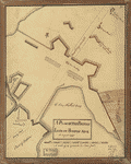
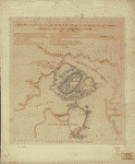
A Plan of the British lines on Boston Neck in August 1775
$
17.95
–
$
47.95
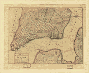
A plan of the city and environs of New York in North America
$
17.95
–
$
47.95
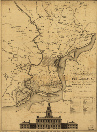
A plan of the city and environs of Philadelphia, survey'd by N Scull and G Heap Engraved by Will Faden
$
17.95
–
$
47.95
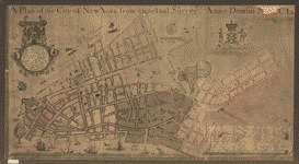
A plan of the city of New York from an actual survey
$
17.95
–
$
47.95
A plan of the city of New-York & its environs to Greenwich
$
17.95
–
$
47.95
A plan of the division line between the provinces of New-York and Quebec
$
17.95
–
$
47.95
A plan of the Forts Montgomery & Clinton
$
17.95
–
$
47.95
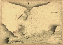
A plan of the harbour and peninsula of Cape Ann
$
17.95
–
$
47.95
A plan of the harbour and peninsula of Cape Ann in North America, drawn from a survey: the soundings & naval observations by Lieut: Henry Mowat, commander of His Majys: armed ship Canceaux P: D'Auvergne, fecit, 1776 NB this is surveyed by Samuel
$
17.95
–
$
47.95
A plan of the harbour of Pensacola in West-Florida Surveyed in the year 1764 by George Gauld, MA The bar by Sir John Lindsay
$
17.95
–
$
47.95
A plan of the inlets & rivers of Savannah & Warsaw in the Province of Georgia
$
17.95
–
$
47.95
A plan of the land between Fort Mossy and St Augustine in the province of East Florida Sam Roworth, dept survr genl
$
17.95
–
$
47.95
A Plan of the late Province of Main as far as Kennebeck River
$
17.95
–
$
47.95
A plan of the Narrows of Hells-gate in the East River
$
17.95
–
$
47.95
A plan of the sea coast from Boston Bay to the light house near Rhode Island, reduced from the large survey
$
17.95
–
$
47.95
A plan of the town and chart of the harbour of Boston
$
17.95
–
$
47.95
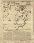
A plan of the town and harbour of Boston
$
17.95
–
$
47.95
A plan of the town of Boston
$
17.95
–
$
47.95
A plan of the town of Boston
$
17.95
–
$
47.95
A plan of the town of Boston and its environs
$
17.95
–
$
47.95
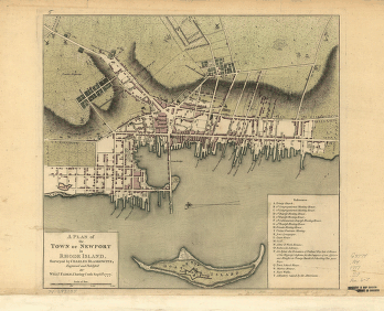
A plan of the town of Newport in Rhode Island Surveyed by Charles Blaskowitz, engraved and publish'd by Willm Faden
$
17.95
–
$
47.95
A Plan of the town of Pensacola, 1767
$
17.95
–
$
47.95
A Plan of the works on Spikendevil Hill with the ground in front
$
17.95
–
$
47.95
A sketch of New London & Groton with the attacks made on Forts Trumbull & Griswold by the British troops under the command of Brigr Genl Arnold, Sept 6th 1781
$
17.95
–
$
47.95
A sketch of the action between the British forces and the American provincials
$
17.95
–
$
47.95
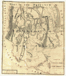
A sketch of the northern parts of New Jersey
$
17.95
–
$
47.95
A sketch of the operations of His Majesty's fleet
$
17.95
–
$
47.95
A survey of Lake Champlain
$
17.95
–
$
47.95
A survey of Lake Champlain including Crown Point and St Iohn's
$
17.95
–
$
47.95
A Temporary project for a star readout to contain 150 men
$
17.95
–
$
47.95
Amboy to Elizabethtown
$
17.95
–
$
47.95
An Accurate map of New Hampshire in New England, from a late survey
$
17.95
–
$
47.95
1
2
3
4
5
6
7
Load More
All products loaded.
Search Product or SKU
×
Home
All Products
Historic Maps
American Indian Maps
Birds Eye View Maps
Civil War Maps
Panoramic Maps
Railroad Maps
Revolutionary War Maps
State Maps
Historic Prints
Civil War Prints
Civil War Posters
Historic Portraits
Presidential Portraits
Contact Us
Cart
0
Cart
Close
Updating…
No products in the cart.
Continue shopping