New England
-

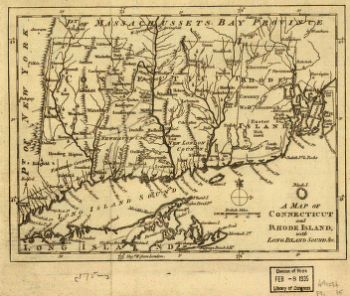
A map of Connecticut and Rhode Island with Long Island Sound, &c
Price range: $39.95 through $69.95 -
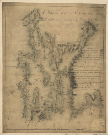
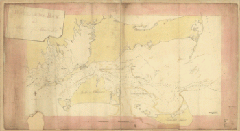
A map of the bay of Narraganset with the islands therein and part of the country adjacent
Price range: $39.95 through $69.95 -
A map of the colonies in Connecticut and Rhode Island, divided by counties & townships, from best authorities
Price range: $39.95 through $69.95 -
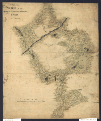
A map of the sources of the Chaudière, Penobscot, and Kennebec rivers, by Montresore
Price range: $39.95 through $69.95 -
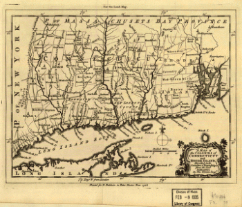
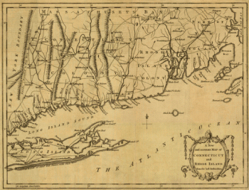
A new and accurate map of Connecticut and Rhode Island, from best authorities
Price range: $39.95 through $69.95 -
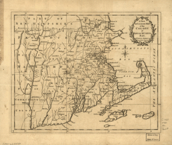
A new and accurate map of the colony of Massachusets Bay, in North America, from a late survey
Price range: $39.95 through $69.95 -
A new and accurate map of the colony of Massachusets Bay, in North America, from a late survey
Price range: $39.95 through $69.95 -
A Plan of the late Province of Main as far as Kennebeck River
Price range: $39.95 through $69.95 -
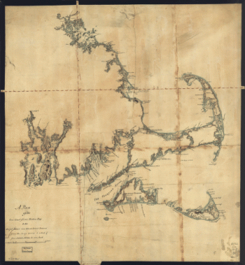
A plan of the sea coast from Boston Bay to the light house near Rhode Island, reduced from the large survey
Price range: $39.95 through $69.95 -
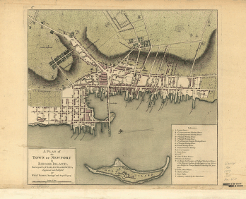
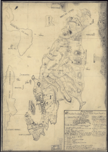
A plan of the town of Newport in Rhode Island Surveyed by Charles Blaskowitz, engraved and publish'd by Willm Faden
Price range: $39.95 through $69.95 -
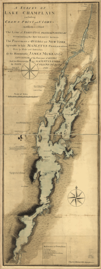
A survey of Lake Champlain
Price range: $39.95 through $69.95 -
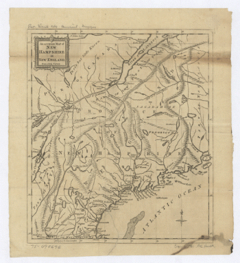
An Accurate map of New Hampshire in New England, from a late survey
Price range: $39.95 through $69.95 -
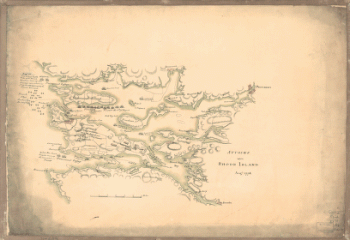
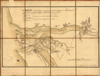
Attacks upon Rhode Island, Augt 1778
Price range: $39.95 through $69.95 -
Buzzards Bay and shoals of Nantucket
Price range: $39.95 through $69.95 -
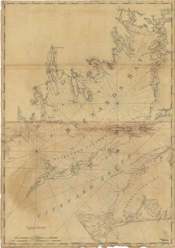
Chart of Buzzards Bay and Vineyard Sound
Price range: $39.95 through $69.95 -
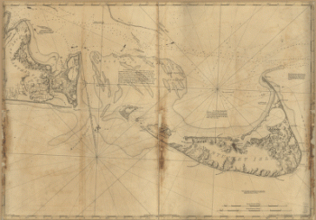
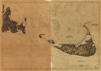
Chart of Nantucket Island and the eastern half of Martha's Vineyard
Price range: $39.95 through $69.95 -
Chart of Nantucket Island and the eastern half of Martha's Vineyard
Price range: $39.95 through $69.95 -
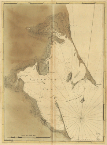
Chart of Plymouth Bay
Price range: $39.95 through $69.95 -
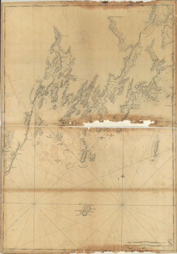
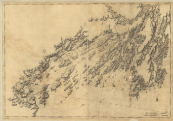
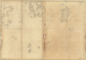
Coast of Maine from Frenchman Bay to Mosquito Harbor
Price range: $39.95 through $69.95 -
Coast of Maine from Mosquito Head to Spurwink River
Price range: $39.95 through $69.95 -
Coast of Maine from Rockland Harbor to Pemaquid Point
Price range: $39.95 through $69.95 -
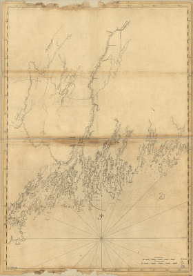
Coast of Maine from Salter Island to Portland Head
Price range: $39.95 through $69.95 -
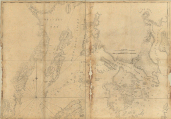
Coast of Maine showing Blue Hill Bay, Penobscot Bay, Belfast Bay, Islesboro Island, Deer Island, and other islands
Price range: $39.95 through $69.95 -
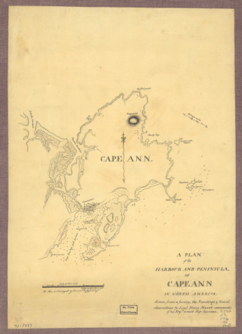
Coast of Massachusetts from Cape Ann to Manomet Point, including northern tip of Cape Cod
Price range: $39.95 through $69.95 -
Coast of New England from Cape Elizabeth, Me to Newburyport, Mass
Price range: $39.95 through $69.95 -
Coast of New England from Chatham Harbor to Narragansett Bay
Price range: $39.95 through $69.95 -
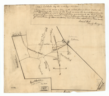
Colchester, May the: 6:th: Day: AD: 1765
Price range: $39.95 through $69.95 -
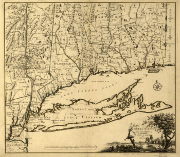
Connecticut and parts adjacent At Amsterdam by Covens and Mortier and Covens Junior H Klockhoff, sculp
Price range: $39.95 through $69.95 -
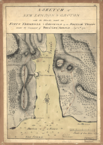
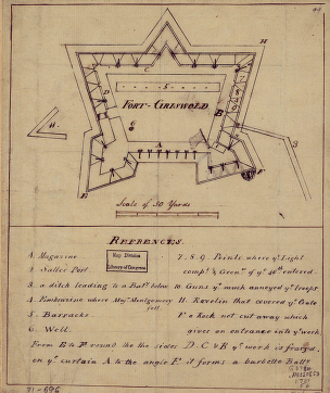
Fort-Griswold
Price range: $39.95 through $69.95 -
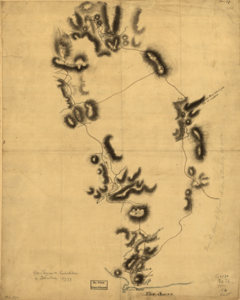
Gov Tryon's expedition to Danbury, 1777
Price range: $39.95 through $69.95 -
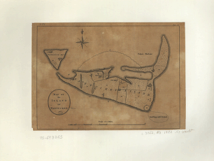
Map of the island of Nantucket
Price range: $39.95 through $69.95 -
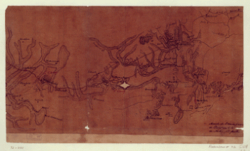
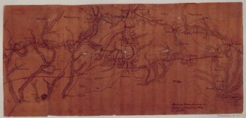
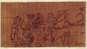
Marche de l'armee francaise de Providence a la Rivière du Nord
Price range: $39.95 through $69.95 -
Marche de l'armee francaise de Providence a la Rivière du Nord
Price range: $39.95 through $69.95 -
Marche de l'armee francaise de Providence a la Rivière du Nord
Price range: $39.95 through $69.95 -
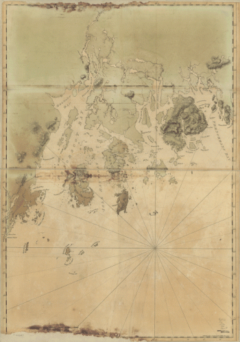
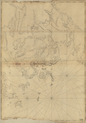
Mount Desert Island and neighboring coast of Maine
Price range: $39.95 through $69.95 -
New Hampshire
Price range: $39.95 through $69.95 -
Part of Oxford and Cumberland counties, Me Drawn by S Greenleaf
Price range: $39.95 through $69.95 -
Plan de la ville, du port, et de la rade de New-port et Rhode Island Debarquement en 1780
Price range: $39.95 through $69.95 -
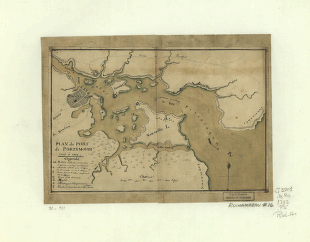
Plan du port de Portsmouth leve a vue
Price range: $39.95 through $69.95 -
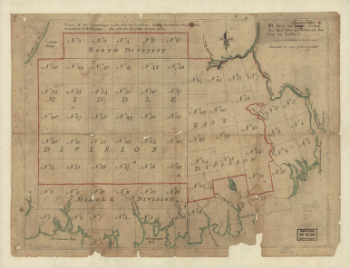
Plan of 50 townships to be sold by lottery lying between the rivers Penobscot & Schoodic
Price range: $39.95 through $69.95 -
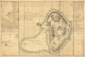
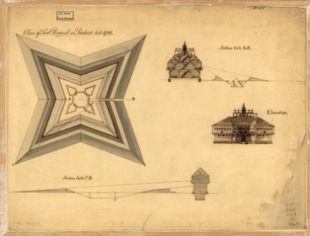
Plan of Fort Pownal at Penobscot built 1759
Price range: $39.95 through $69.95 -
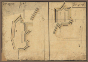
Plan of the rebels works on Prospect-Hill Plan of the rebels works on Winter-Hill
Price range: $39.95 through $69.95