-

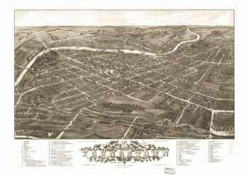
Panoramic view of the city of Youngstown, county seat of Mahoning Co., Ohio 1882
Price range: $39.95 through $69.95 -
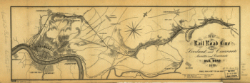
Map of rail road line between Loveland and Cincinnati; Marietta and Cincinnati Rail Road.
Price range: $39.95 through $69.95 -
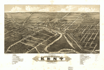
Panoramic view of the city of Kent, Portage County, Ohio 1882.
Price range: $39.95 through $69.95 -
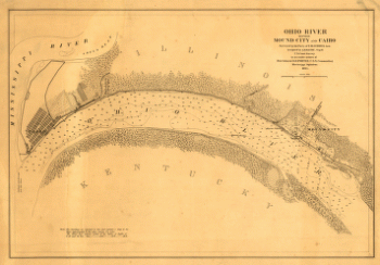
Ohio River between Mound City and Cairo
Price range: $39.95 through $69.95 -
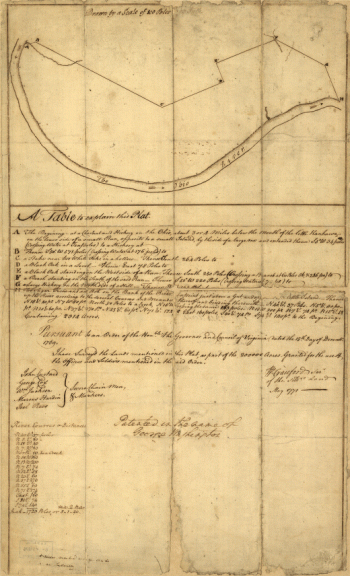
Plat of a survey of 2,314 acres of land, being the first large bottom on the east side of the Ohio River
Price range: $39.95 through $69.95 -
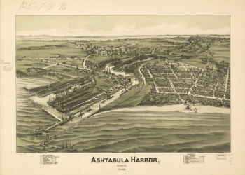
Ashtabula Harbor, Ohio 1896.
Price range: $39.95 through $69.95 -
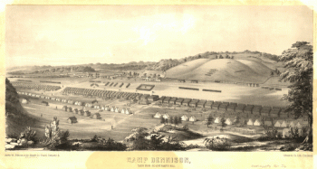
Camp Dennison : taken from Old Aunt Roady's Hill / drawn by Johnson in the Zouave Lt. Guard, Company A.
Price range: $39.95 through $69.95 -
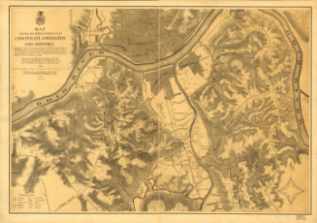
Map showing the military defences of Cincinnati, Covington and Newport
Price range: $39.95 through $69.95 -
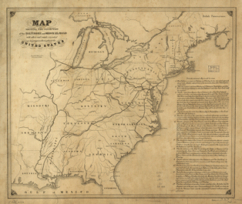
Connection of the Baltimore and Ohio rail road
Price range: $39.95 through $69.95 -
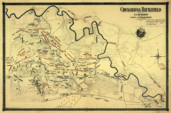
Chickamauga battlefield
Price range: $39.95 through $69.95 -
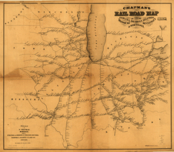
man's rail road map of Ohio, Indiana, Michigan, Illinois, Missouri, Minnesota, & Wisconsin.
Price range: $39.95 through $69.95 -
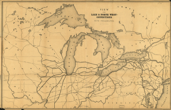
View of the lake & north west-connections with Philadelphia.
Price range: $39.95 through $69.95 -
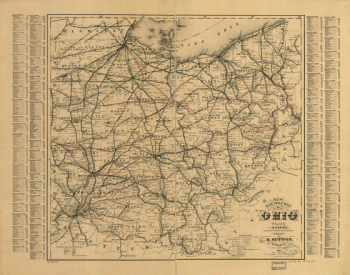
New rail road map of Ohio prepared by H. Sabine, Commissioner of Rail Roads & Telegraphs.
Price range: $39.95 through $69.95 -
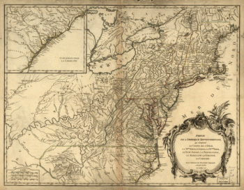
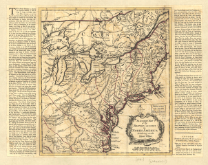
An accurate map of the British colonies in North America bordering on the river Ohio.
Price range: $39.95 through $69.95 -
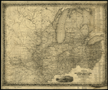
Guide through Ohio, Michigan, Indiana, Illinois, Missouri, Wisconsin & Iowa; by J. Calvin Smith, engraved by S. Stiles, Sherman & Smith.
Price range: $39.95 through $69.95 -
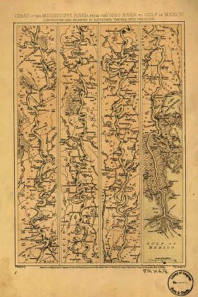
Mississippi River from the Ohio River to Gulf of Mexico
Price range: $39.95 through $69.95 -
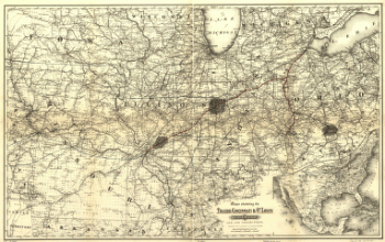
Maps showing the Toledo, Cincinnati, & St. Louis Railroad and its connections, 1881.
Price range: $39.95 through $69.95 -
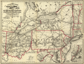
New York, New Jersey, Pennsylvania, Delaware, Maryland, Ohio and Canada, with parts of adjoining states.
Price range: $39.95 through $69.95 -
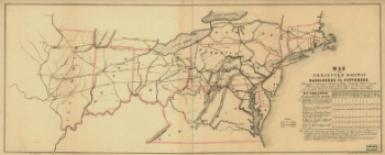
Map of the projected railway from Harrisburg to Pittsburg
Price range: $39.95 through $69.95 -
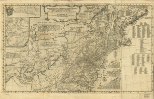
A map of the middle British colonies in North America
Price range: $39.95 through $69.95 -
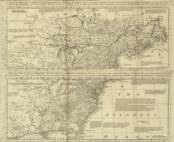
A map of the British and French settlements in North America
Price range: $39.95 through $69.95 -
Hillsborough & Cincinnati Rail-road map
Price range: $39.95 through $69.95 -
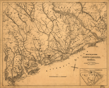
Map of the seat of war, in South Carolina, and Georgia
Price range: $39.95 through $69.95 -
Sketch of sea coast of South Carolina and Georgia from Bull's Bay to Ossabaw Sound
Price range: $39.95 through $69.95 -
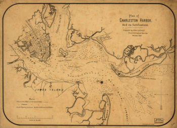
Plan of Charleston Harbor, and its fortifications compiled by Elliot & Ames from government surveys
Price range: $39.95 through $69.95 -
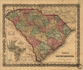
Colton's South Carolina
Price range: $39.95 through $69.95 -
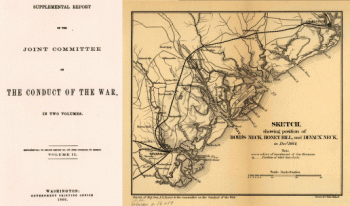
Sketch showing position of Boyd's Neck, Honey Hill, and Devaux' Neck, in Decr. 1864 Bowen & Co., lith., Philada.
Price range: $39.95 through $69.95 -
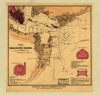
Sketch of Charleston Harbor By W. A. Williams, Civil Engineer.
Price range: $39.95 through $69.95 -
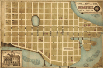
Copy of the plot of the city of Beaufort, South Carolina
Price range: $39.95 through $69.95 -
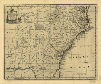
The provinces of North & South Carolina, Georgia
Price range: $39.95 through $69.95 -
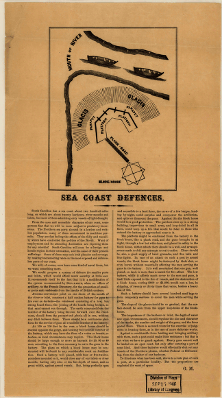
Sea coast defences
Price range: $39.95 through $69.95 -
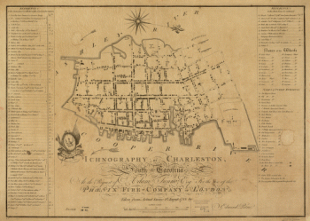
Charleston, South-Carolina
Price range: $39.95 through $69.95 -
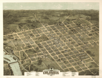
Bird's eye view of the city of Columbia, South Carolina 1872. Drawn and published by C. Drie.
Price range: $39.95 through $69.95 -
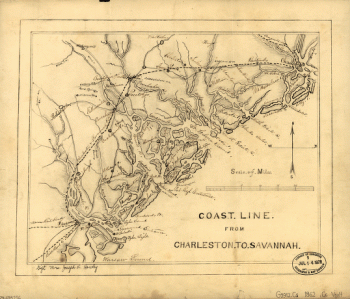
Coast line from Charleston to Savannah.
Price range: $39.95 through $69.95 -
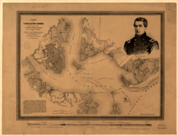
Part of Charleston Harbor, embracing forts Moultrie, Sumter, Johnson, and Castle Pinckney, also Sullivan, James & Morris islands
Price range: $39.95 through $69.95 -
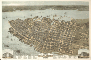
Bird's eye view of the city of Charleston, South Carolina 1872. Drawn and published by C. Drie.
Price range: $39.95 through $69.95 -
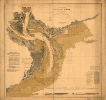
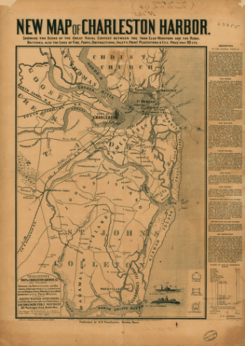
Charleston Harbor
Price range: $39.95 through $69.95 -
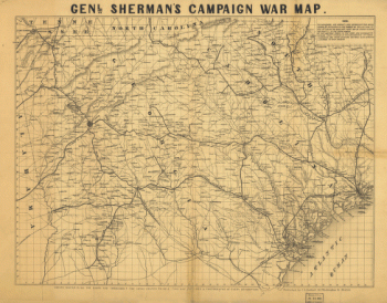
Genl. Sherman's campaign war map.
Price range: $39.95 through $69.95 -
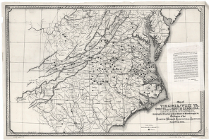
Virginia and West Va., North & part of South Carolina, Maryland & Delaware
Price range: $39.95 through $69.95 -
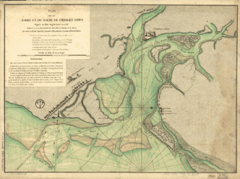
Plan de la barre et du havre de Charles-Town
Price range: $39.95 through $69.95 -
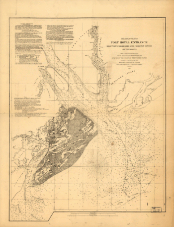
Preliminary chart of Port Royal entrance. Beaufort, Chechessee, and Colleton Rivers, South Carolina
Price range: $39.95 through $69.95 -
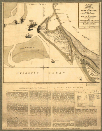
Attack of Fort Sulivan, the key of Charlestown, in South Carolina, on the 28th. of June 1776
Price range: $39.95 through $69.95 -
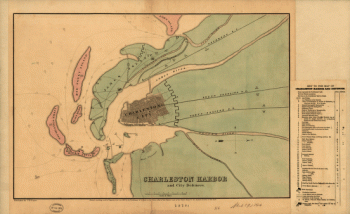
Charleston Harbor and city defences
Price range: $39.95 through $69.95 -
Map of the environs of Savannah, Georgia. 186-] Drawn by A. Lindenkoh. Chas. G. Krebs, lith.
Price range: $39.95 through $69.95 -
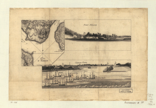
Plan d'Amboy. Vues de la rade de Charles-Town et de Fort Sulivan, mai 1780.
Price range: $39.95 through $69.95 -
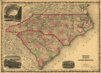
Johnson's North and South Carolina
Price range: $39.95 through $69.95 -
Resurvey of Charleston Bar
Price range: $39.95 through $69.95
![Map of the environs of Savannah, Georgia. 186-] Drawn by A. Lindenkoh. Chas. G. Krebs, lith.](https://www.ushistoricalarchive.com/wp-content/uploads/nc/data/products/im/sm/sc/b35-350x465.gif)