-

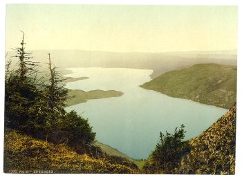
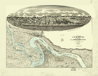
Zug Lake, Zug, Switzerland
$17.95 -

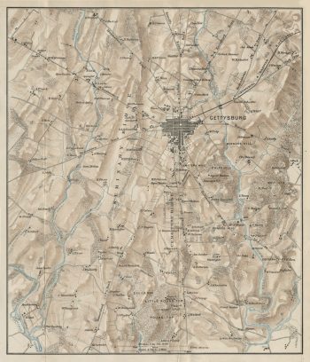
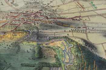
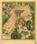
Gettysburg Farms
$17.95 – $47.95 -
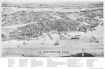
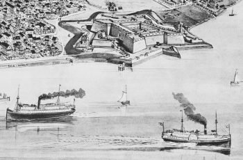
St. Augustine, 1885
$17.95 – $47.95 -
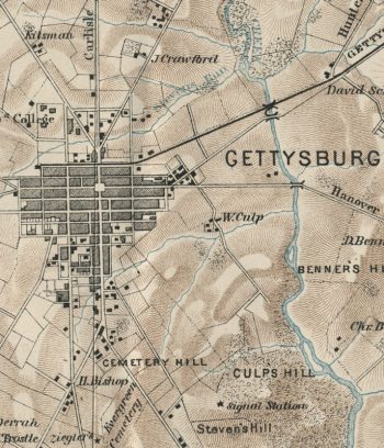
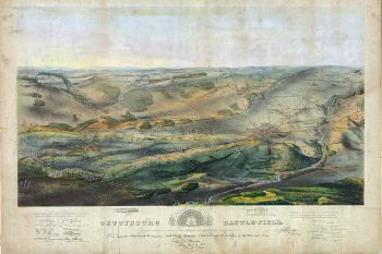
Gettysburg Battlefield, Bachelder
$17.95 – $47.95 -
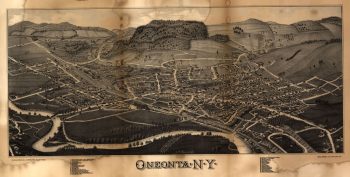
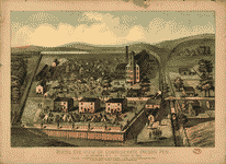
Oneonta, NY
$17.95 – $47.95 -
Castillo de San Marcos
$17.95 – $47.95 -
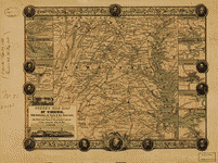
The War of the Rebellion
$19.95