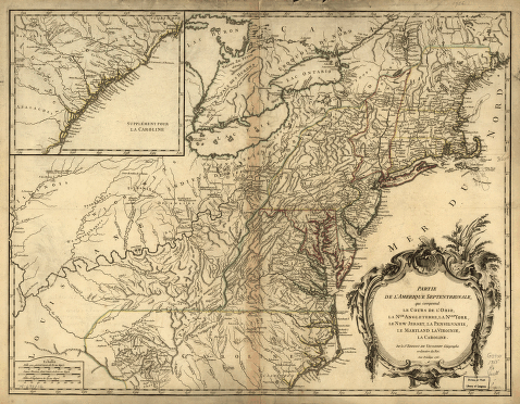
Par le Sr. Robert de Vaugondy, géographe ordinaire du roi. M. C. Haussard, fecit Robert de Vaugondy, Gilles, 1688-1766. CREATED/PUBLISHED [Paris? 1755] NOTES Scale ca. 1:3,000,000. Title on verso: 'Cours de l'Ohyo.' Relief shown pictorially. Covers the area from the Great Lakes to South Carolina and from the Atlantic coast to the Mississippi River. Shows provinces, counties, towns and cities, riviers, Indian villages and tribal territory, forts, numerous place-names, and relief.


