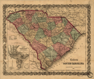
CREATED/PUBLISHED New York, J. H. Colton 1865. NOTES Scale ca. 1:1,3000,000. General map showing county and state boundaries, cities and towns, roads and railroads, rivers, and forts. Insets: Colton's plan of Charleston, vicinity & harbor. Fort Sumter.


