State Maps
-

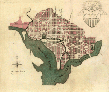
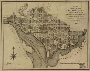
Plan of the city of Washington.
$17.95 – $47.95 -
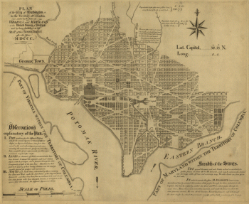
Plan of the city of Washington in the territory of Columbia
$17.95 – $47.95 -
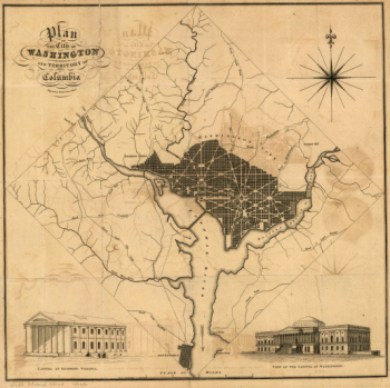
Plan of the city of Washington
$17.95 – $47.95 -
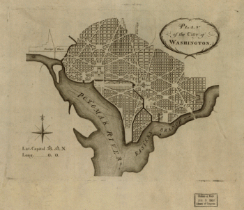
Plan of the city of Washington
$17.95 – $47.95 -
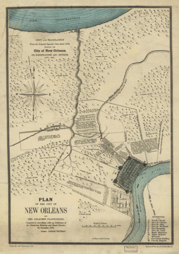
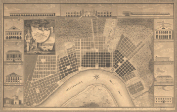
Plan of the City of New Orleans and adjacent plantations
$17.95 – $47.95 -
Plan of the city and suburbs of New Orleans
$17.95 – $47.95 -
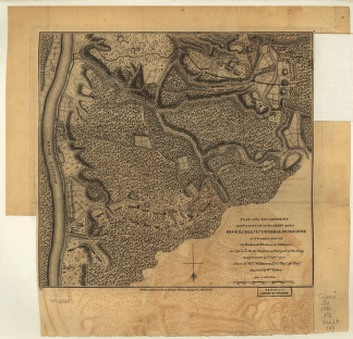
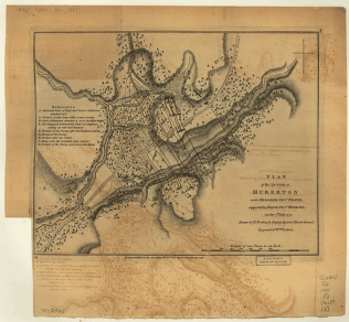
Plan of the battle of August 5, 1864. [Mobile Bay]
$17.95 – $47.95 -
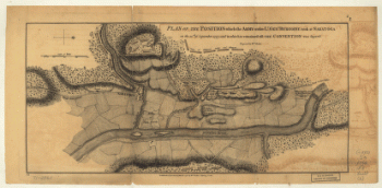
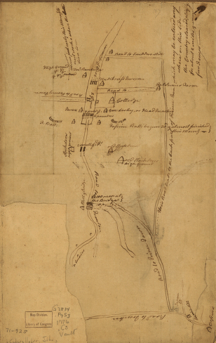
Plan of Princeton, Dec. 31, 1776.
$17.95 – $47.95 -
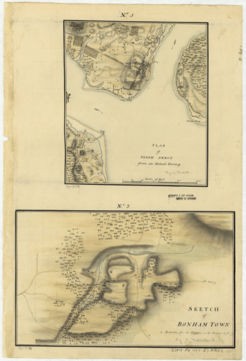
Plan of Perth Amboy from an actual survey. Sketch of Bonham Town
$17.95 – $47.95 -
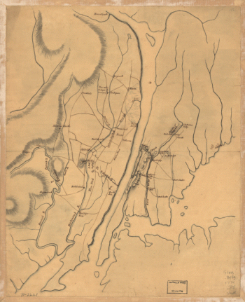
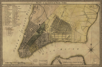
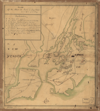
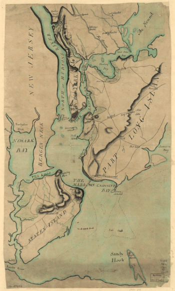
Plan of New York and Staten Islands with part of Long Island.
$17.95 – $47.95 -
Plan of New York and Staten Islands with part of Long Island.
$17.95 – $47.95 -
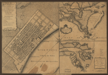
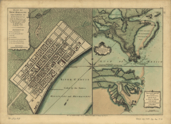
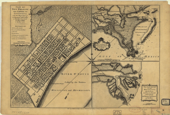
Plan of New Orleans the capital of Louisiana
$17.95 – $47.95 -
Plan of New Orleans the capital of Louisiana
$17.95 – $47.95 -
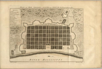
Plan of New Orleans
$17.95 – $47.95 -
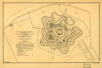
Plan of Fort Jackson
$17.95 – $47.95 -
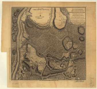
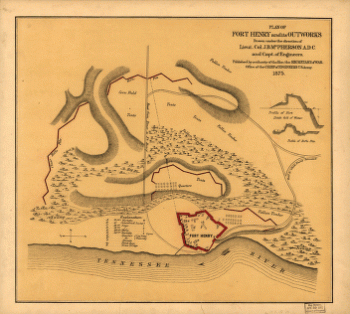
Plan of Fort Henry and its outworks
$17.95 – $47.95 -
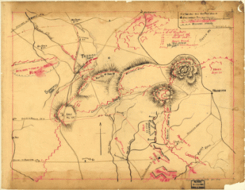
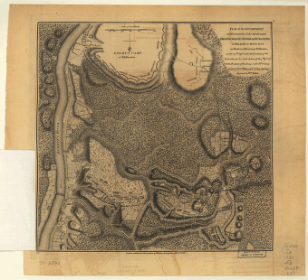
Plan of Fort Donelson and outworks : [Tennessee]
$17.95 – $47.95 -
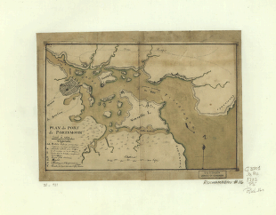
Plan du port de Portsmouth levé à vue.
$17.95 – $47.95 -
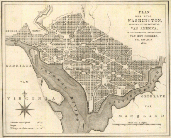
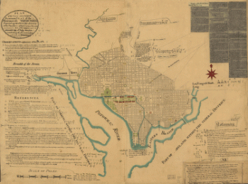
Plan der stad Washington
$17.95 – $47.95 -
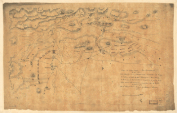
Plan de notre camp à New Brunswick
$17.95 – $47.95 -
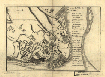
Plan de la ville de Quebec
$17.95 – $47.95 -
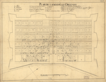
Plan de la Nouvelle Orleans / Anonymous.
$17.95 – $47.95 -
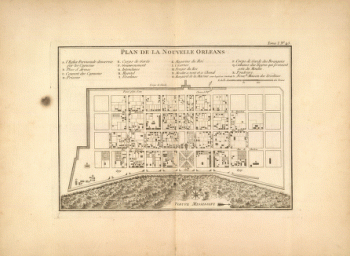
Plan de la Nouvelle Orleans
$17.95 – $47.95 -
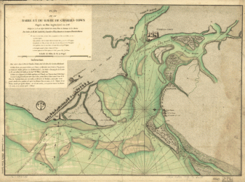
Plan de la barre et du havre de Charles-Town
$17.95 – $47.95 -
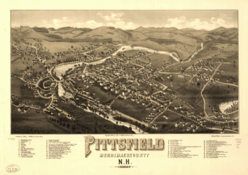
Pittsfield, Merrimackcounty, N.H. 1884. Beck & Pauli, litho.
$17.95 – $47.95 -
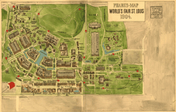
Pharus-map World's Fair St. Louis, 1904.
$17.95 – $47.95 -
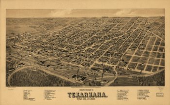
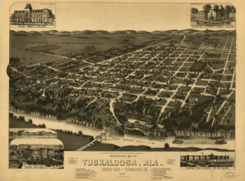
Perspective map of Tuskaloosa, Ala.
$17.95 – $47.95

![Plan of the battle of August 5, 1864. [Mobile Bay]](https://www.ushistoricalarchive.com/wp-content/uploads/nc/data/products/im/sm/al/b25-350x264.gif)

![Plan of Fort Donelson and outworks : [Tennessee]](https://www.ushistoricalarchive.com/wp-content/uploads/nc/data/products/im/sm/tn/b59-350x384.gif)
![Plan général du Fort Septentrional du Detour des Anglois, tel qu'il est présentement : [Louisiana]](https://www.ushistoricalarchive.com/wp-content/uploads/nc/data/products/im/sm/la/b14-350x178.gif)