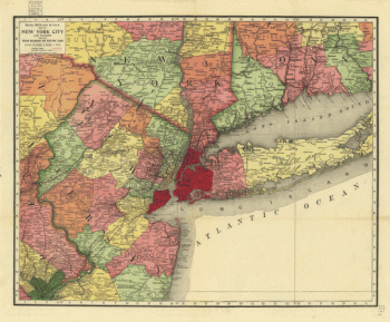
State Maps
-

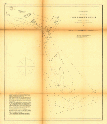
Reconnoissance of Cape Lookout shoals by the party
$17.95 – $47.95 -
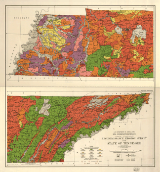
Reconnaissance erosion survey of the State of Tennessee
$17.95 – $47.95 -
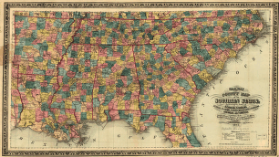
Railway and county map of the Southern States
$17.95 – $47.95 -
Railway and county map of the Southern States
$17.95 – $47.95 -
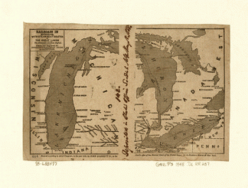
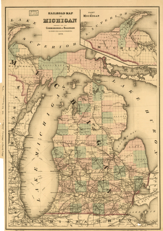
Railroads in Michigan, with steamboat routes on the Great Lakes
$17.95 – $47.95 -
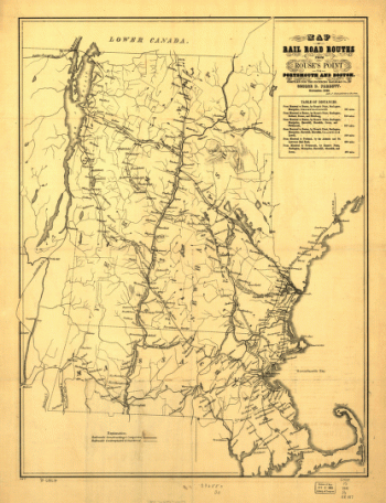
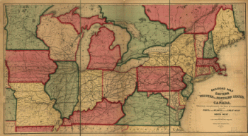
Railroad routes from Rouse's Point to Portsmouth and Boston
$17.95 – $47.95 -
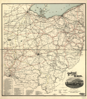
Railroad map of Ohio
$17.95 – $47.95 -
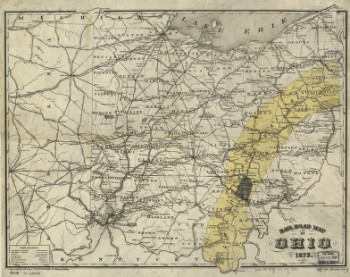
Rail road map of Ohio 1873.
$17.95 – $47.95 -
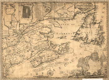
Province of Nova-Scotia and adjacent parts
$17.95 – $47.95 -
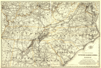
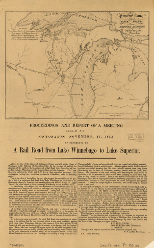
Proposed Tennessee, Alabama, and Georgia Railroad
$17.95 – $47.95 -
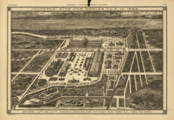
Proposed site for World's Fair in 1883
$17.95 – $47.95 -
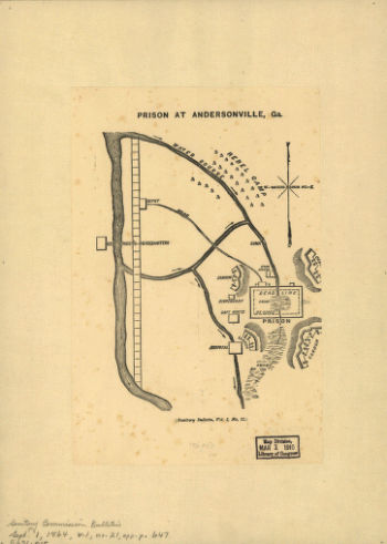
Prison at Andersonville, Ga.
$17.95 – $47.95 -
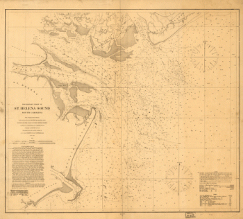
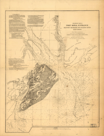
Preliminary chart of St. Helena Sound, South Carolina
$17.95 – $47.95 -
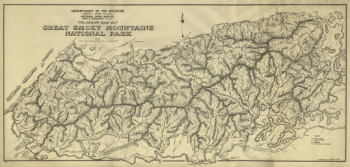
Preliminary base map, Great Smoky Mountains National Park.
$17.95 – $47.95 -
Preliminary base map, Great Smoky Mountains National Park
$17.95 – $47.95 -
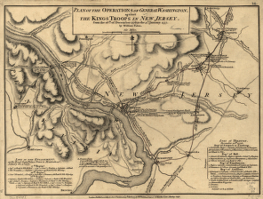
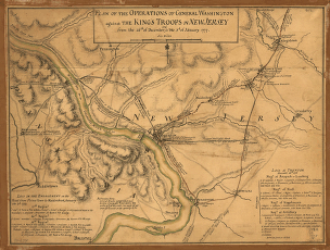
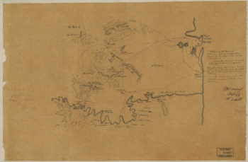
Position de notre camp le 24 juin 1777 à Perth Amboy
$17.95 – $47.95 -
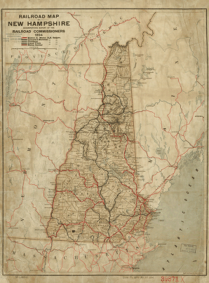
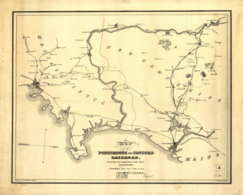
Portsmouth and Concord Railroad
$17.95 – $47.95 -
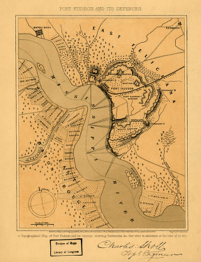
Port Hudson and its defences
$17.95 – $47.95 -
Port Hudson
$17.95 – $47.95 -
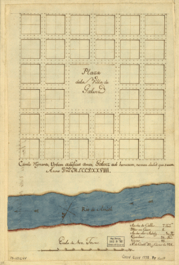
Plaza de la villa de Galvez.
$17.95 – $47.95 -
Plano de la Bahia de la Ware y entrada de Filadelfie
$17.95 – $47.95 -
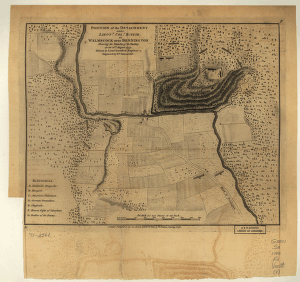
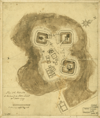
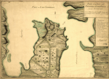
Plan of the fort and fortress at Crown Point with their environs
$17.95 – $47.95